Derg ( Lough ) Phmwb
Derg ( Lough ) Phmwb
- Boat Ramps
- 0
- Access Points
- 0
- Campsites
- 1
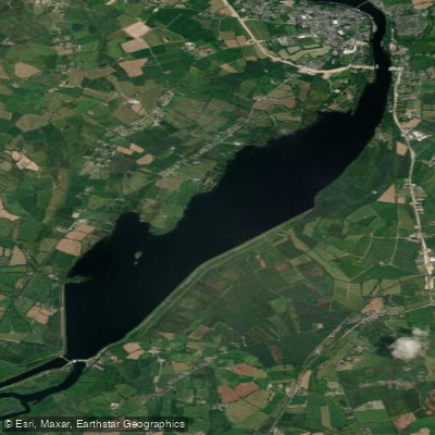
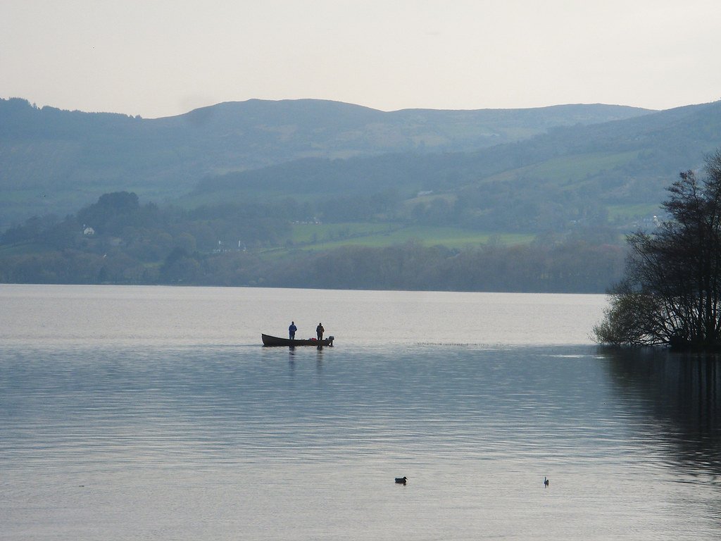
Lough Derg is the largest lake on the River Shannon, Ireland's longest river, stretching approximately 37 kilometres in a direct line from the town of Portumna in the north to the twin towns of Killaloe and Ballina at its southern end. The lake borders three counties — Clare, Galway, and Tipperary — and offers around 160 kilometres of shoreline for experienced paddlers to explore, with the full perimeter of one coastline extending to roughly 60 kilometres. There are 14 formal access points distributed around the lake, including a Waterways Ireland marina in Scarriff and access at Mountshannon, Killaloe/Ballina, Portroe, Ogonnelloe, Whitegate, Garrykennedy, and Kilgarvan Quay on the northeast shore, among others.
The lake accommodates kayaking, canoeing, and stand-up paddleboarding. The most direct north-to-south route of around 37 kilometres can be completed in a single day under favourable conditions, though a multi-day touring approach allows for exploration of the lake's numerous coves, bays, and islands. One well-documented route runs from Scarriff Harbour to Holy Island pier, approximately 7.5 kilometres each way. The initial section follows a narrow river channel that provides some shelter from wind, though paddlers should be aware that this stretch is also used by motor cruisers, and the return upstream journey can be more demanding due to river flow.
Wind is a significant factor on Lough Derg given its size and open character. The lake's exposed stretches require paddlers to exercise appropriate judgment, and the sheltered river sections near Scarriff are noted as preferable during periods of poor weather. Wild camping along the shoreline is possible in remote areas, though there is no explicit legal framework permitting it in Ireland, and a leave-no-trace approach is strongly advised.
Wildlife around the lake includes white-tailed sea eagles, swans, and leaping trout. Holy Island, accessible from Mountshannon or Scarriff, is a historically significant site and a popular paddling destination. The lake has over 90 heritage sites in its broader area. Guided tours and equipment rental are available through operators including Lough Derg Watersports at Kilgarvan Quay and ULAC Adventure Centre, with Blue Flag beaches at Mountshannon, Portumna, and Twomilegate providing additional amenities for paddlers.
Water access, boat ramps & amenities
Learn how to get on Derg ( Lough ) Phmwb. Uncover great paddling access points, boat ramps, and all the facilities you need for an unforgettable day on the water. Some locations shown may border or include private property. Always check property boundaries and applicable regulations before visiting. PaddleWays's Public & Private Land layer can help you plan your access with confidence.
Paddle smarter with real-time insights
Whether you're en route and conditions shift or you're looking for the best spot based on current flows, we enable you to make informed decisions on the fly.







Co. Clare licenses and regulations
No licenses or regulations available for Co. Clare.
Find Places to Paddle

Over 400,000 Places to Paddle
Every user gets free access to launch points, boat ramps, and public property parcels.


Water and weather conditions (10 day forecast)
See the best times to paddle Derg ( Lough ) Phmwb and check the forecast before you go.
No forecast data available.
Paddling near Derg ( Lough ) Phmwb
Lough Derg
Shannon [Lower]
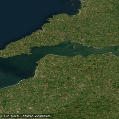
Shannon Estuary
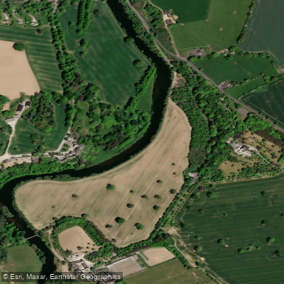
Suir

Suck
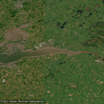
Upper Shannon Estuary

Shannon [Upper]

Barrow
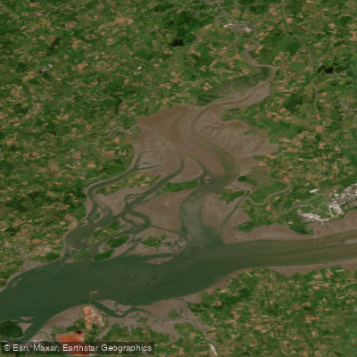
Fergus Estuary
Fergus
Explore Clare waters
Top paddling waters
No waters available right now.
Popular Cities
Loading popular cities...
Explore near Derg ( Lough ) Phmwb
Access points
Nearby waters
More in Co. Clare

Smarter Paddling Starts in the App.
Paddleways gives you everything you need to plan smarter, paddle better, and own every trip from first launch to takeout.