Fergus Estuary
- Saltwater
- Estuary
Fergus Estuary
- Saltwater
- Estuary
- Sq. miles
- 25
- Boat Ramps
- 0
- Access Points
- 0
- Campsites
- 0
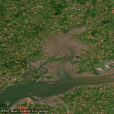
The Fergus Estuary is a large, triangular branch of the Shannon Estuary, extending north towards Ennis in County Clare. It is a complex coastal environment characterized by a multitude of low-lying islands, intricate channels, and vast mudbanks. The western side of the estuary features numerous islands such as Coney Island, Inishdadroum, Inishmacowney, and O’Grady’s Island, separated by narrow waterways. These channels are noted for being intricate and, according to historical sailing directions, can be unfit for navigation except for small vessels due to their narrowness, the strength of the tides, and frequent shallows, despite some spots having significant depth. This indicates that paddlers must exercise caution regarding tidal currents and potential grounding. The area is part of the River Shannon and Fergus Estuary Special Protection Area, highlighting its ecological importance. Wildlife includes breeding seabirds such as Razorbills, Common Guillemots, and European Shags. The landscape holds significant historical and archaeological interest, with evidence of medieval V-shaped wooden fishing structures and ancient settlements dating back to the Bronze and Iron Ages visible in the intertidal zone. The islands themselves, like Coney Island with its ruins of a 6th-century church built by St Brendan and its abandoned village, offer a stark, austere beauty. Paddling here provides a journey through a maritime historic landscape, though it is beautiful yet not well-known. The overall experience is one of exploring a secluded, archaeologically rich estuary with open aspects in some areas and dense tree cover on many islands, requiring careful navigation of its tidal channels.
Water access, boat ramps & amenities
Learn how to get on Fergus Estuary. Uncover great paddling access points, boat ramps, and all the facilities you need for an unforgettable day on the water. Some locations shown may border or include private property. Always check property boundaries and applicable regulations before visiting. PaddleWays's Public & Private Land layer can help you plan your access with confidence.
Paddle smarter with real-time insights
Whether you're en route and conditions shift or you're looking for the best spot based on current flows, we enable you to make informed decisions on the fly.







Co. Clare licenses and regulations
No licenses or regulations available for Co. Clare.
Find Places to Paddle

Over 400,000 Places to Paddle
Every user gets free access to launch points, boat ramps, and public property parcels.


Tides, wind & water conditions (10 day forecast)
On open water, wind and tide matter as much as the weather. See the best times to paddle Fergus Estuary and check the marine forecast before you launch.
Loading tide predictions…
Paddling near Fergus Estuary
Shannon [Lower]
Lough Derg
Shannon Estuary
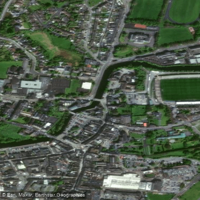
Fergus
Maigue
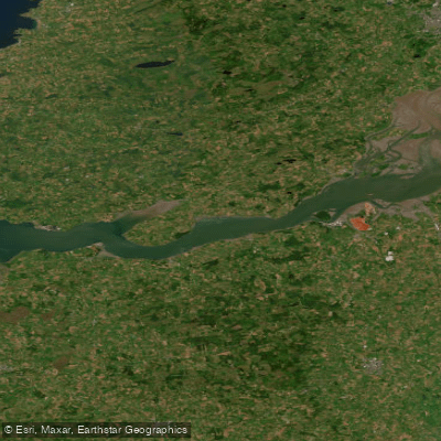
Lower Shannon Estuary
Suir

Lough Corrib
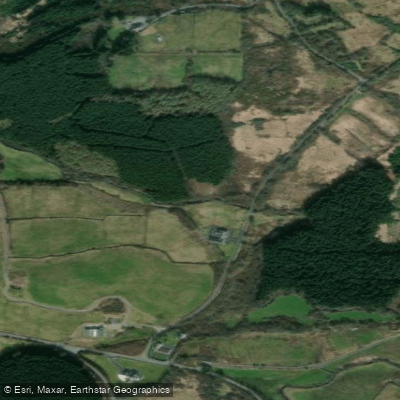
Inagh [Ennistymon]
Explore Clare waters
Top paddling waters
No waters available right now.
Popular Cities
Loading popular cities...
Explore near Fergus Estuary

Smarter Paddling Starts in the App.
Paddleways gives you everything you need to plan smarter, paddle better, and own every trip from first launch to takeout.