Owenglin
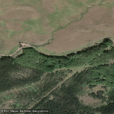
Owenglin
- Boat Ramps
- 0
- Access Points
- 0
- Campsites
- 0
The Owenglin flows from a valley in the Twelve Bens mountain range through the town of Clifden in Connemara, County Galway, where it meets the sea at Clifden Bay. The upper river section spans over 9 kilometres and is divided into three distinct segments — the Forest section, the Upper section, and Simon's Falls — allowing trips ranging from a full 9km paddle to a shorter park-and-paddle session at Simon's Falls. The river is graded 3 to 5 overall.
The Upper section begins at the upper bridge with predominantly grade 2 water winding through open countryside. After approximately 1 kilometre the gradient increases, producing several grade 2/3 rapids. A notable feature is "Hot as Balls Falls," a grade 3+ drop of roughly 15 feet into a canyon with a large pool below. Both left and right lines are considered worthwhile, though a hole on river-right can slow momentum and may become more problematic at higher water levels. Scouting and safety setup are recommended here. The river continues with grade 2/3 rapids to the take-out at the bridge.
Trojan Falls carries a lethal risk and demands adequate safety arrangements. The Forestry section and the area below Simon's Falls can contain wire and other debris blocking the river. Below Simon's Falls, before the take-out, a protruding iron bar presents a hazard at certain water levels. The length of the run means paddlers should allow sufficient time to complete the trip in daylight.
The Owenglin is a popular fishing river, and paddlers are asked to avoid it during fishing season. When anglers are actively fishing pools, the practice is to portage that rapid or drop rather than paddle through.
The lower river passes through Clifden, the largest town in Connemara, before entering Clifden Bay over falls described as picturesque. The canyon setting around Hot as Balls Falls is noted as a particularly striking stretch of the river.
Water access, boat ramps & amenities
Learn how to get on Owenglin. Uncover great paddling access points, boat ramps, and all the facilities you need for an unforgettable day on the water. Some locations shown may border or include private property. Always check property boundaries and applicable regulations before visiting. PaddleWays's Public & Private Land layer can help you plan your access with confidence.
Paddle smarter with real-time insights
Whether you're en route and conditions shift or you're looking for the best spot based on current flows, we enable you to make informed decisions on the fly.







Co. Galway licenses and regulations
No licenses or regulations available for Co. Galway.
Find Places to Paddle

Over 400,000 Places to Paddle
Every user gets free access to launch points, boat ramps, and public property parcels.


Water and weather conditions (10 day forecast)
See the best times to paddle Owenglin and check the forecast before you go.
No forecast data available.
Paddling near Owenglin

Lough Corrib
Aran Islands, Galway Bay, Connemara (HAs 29;31)
Lough Mask
Erriff 32
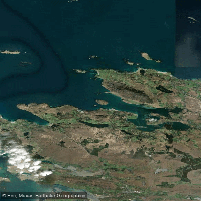
Ballynakill Bay
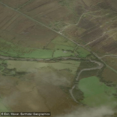
Bunowen [Louisburgh]
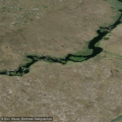
Cashla
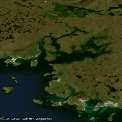
Bertraghboy Bay
Corrib
Explore Galway waters
Top paddling waters
No waters available right now.
Popular Cities
Loading popular cities...
Explore near Owenglin

Smarter Paddling Starts in the App.
Paddleways gives you everything you need to plan smarter, paddle better, and own every trip from first launch to takeout.