Erriff 32
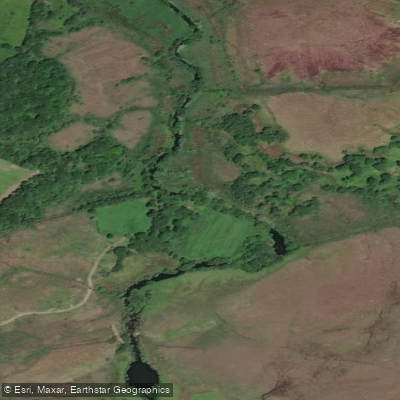
Erriff 32
- Boat Ramps
- 0
- Access Points
- 0
- Campsites
- 0
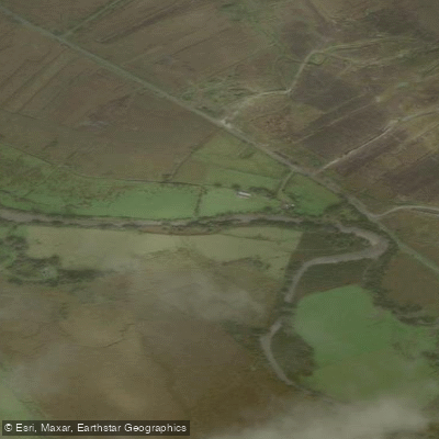
The Erriff River flows through County Mayo in the west of Ireland, draining a catchment of 163 square kilometres before entering Killary Harbour at the Atlantic Ocean. The river is 33 kilometres in length and is characterised as a spate river, with lively streams and deep pools. The paddling section of primary interest runs approximately 1 kilometre in its lower reach, ending at the notable Aasleagh Falls near the river's mouth.
The put-in for the lower whitewater section is located near Aasleagh at coordinates 53.63446, -9.60617, with the take-out downstream of the falls at 53.61795, -9.67108. This lower kilometre provides a Grade 2-4 run that includes two distinct waves, a small cauldron, and culminates in a 12-foot drop at Aasleagh Falls. The Irish Whitewater Guide grades the stretch as V(d), though local guides note this grading is generous. The river is generally flat above this section, with the technical whitewater concentrated in the final 0.8 kilometres.
Access and timing are subject to important restrictions. Kayaking is permitted outside the official fishing season, which runs from October through March. During the fishing season, the Fisheries Board's access rules apply, and paddlers should be aware that riparian rights are actively managed on this river. Paddlers should also respect private land and follow Leave No Trace principles regardless of season.
Parking is available on both the north and south sides of the R335 near the turn-off, with capacity for approximately 15 cars on the north side and 10 on the south side. Both are in close proximity to a sharp bend on the road, so care is warranted when arriving and departing.
The Erriff Valley is flanked by the Devil's Mother to the south and Ben Gorm to the north. The river is one of Ireland's designated premier salmon and sea trout fisheries and serves as the National Salmonid Index Catchment, managed by Inland Fisheries Ireland. Aasleagh Falls is a well-known landmark near the take-out point.
Water access, boat ramps & amenities
Learn how to get on Erriff 32. Uncover great paddling access points, boat ramps, and all the facilities you need for an unforgettable day on the water. Some locations shown may border or include private property. Always check property boundaries and applicable regulations before visiting. PaddleWays's Public & Private Land layer can help you plan your access with confidence.
Paddle smarter with real-time insights
Whether you're en route and conditions shift or you're looking for the best spot based on current flows, we enable you to make informed decisions on the fly.







Co. Mayo licenses and regulations
No licenses or regulations available for Co. Mayo.
Find Places to Paddle

Over 400,000 Places to Paddle
Every user gets free access to launch points, boat ramps, and public property parcels.


Water and weather conditions (10 day forecast)
See the best times to paddle Erriff 32 and check the forecast before you go.
Derrinkee - Sandpit
All Flow Stations
Paddling near Erriff 32

Lough Corrib
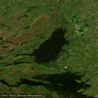
Lough Mask
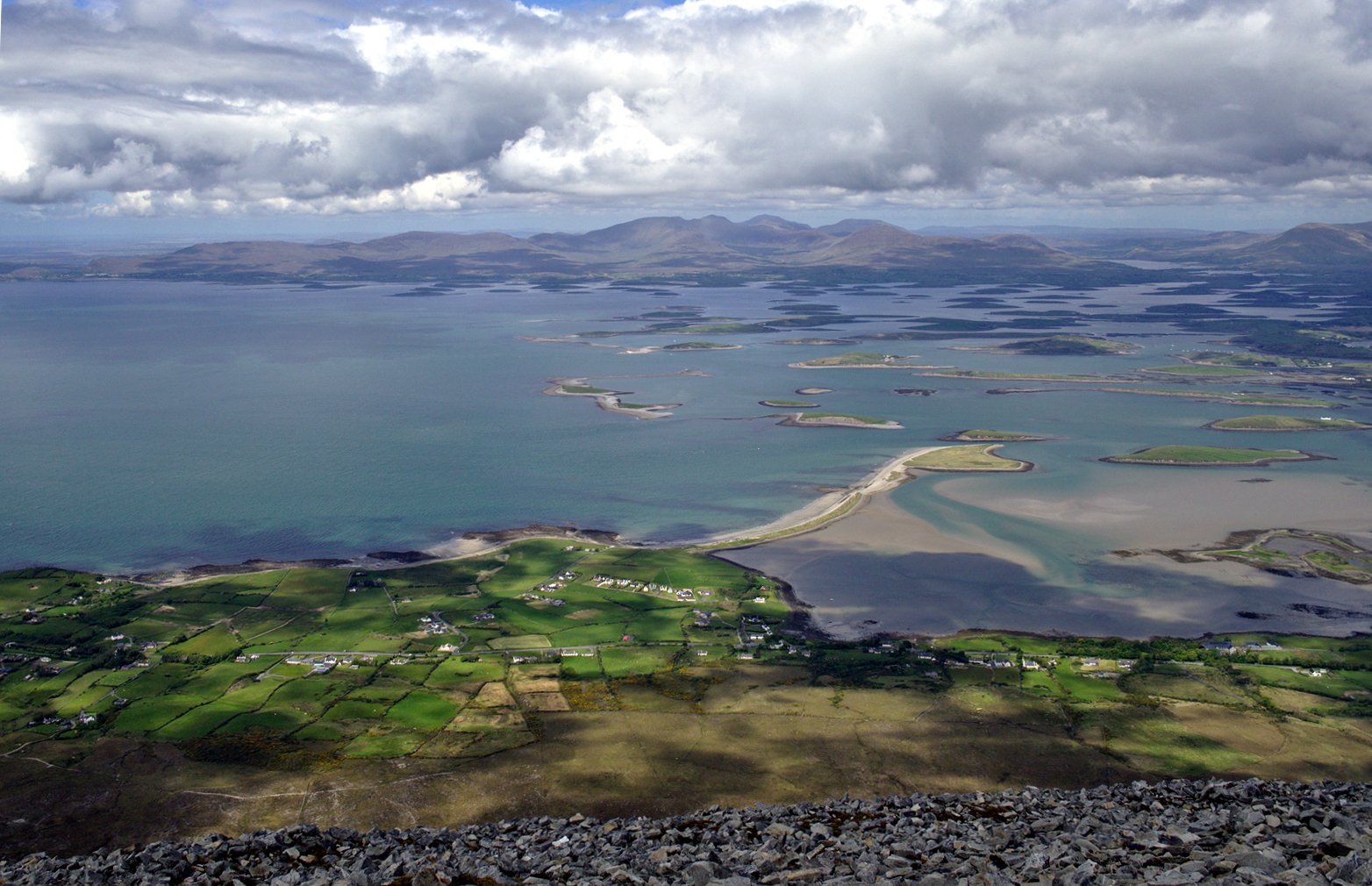
Clew Bay
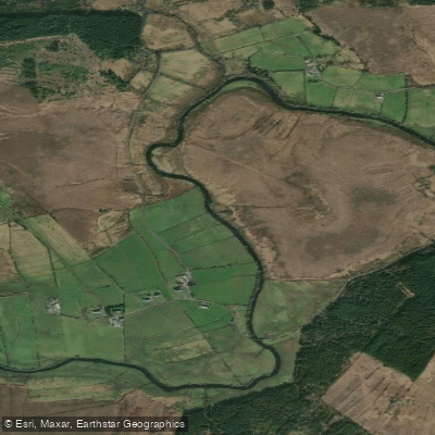
Deel [Crossmolina]

Suck
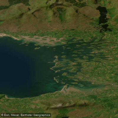
Inner Clew Bay
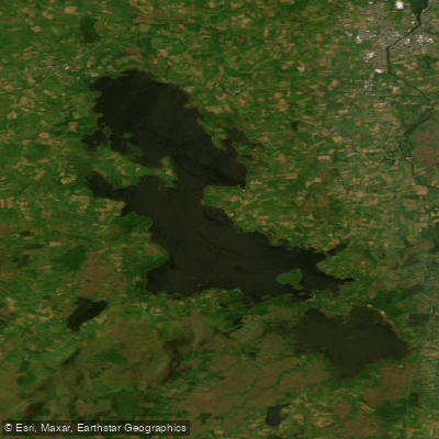
Lough Conn
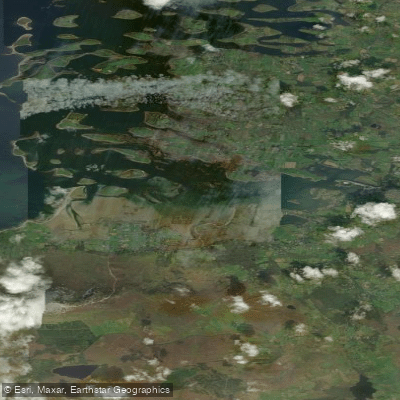
Westport Bay
Bunowen [Louisburgh]
Explore Mayo waters
Top paddling waters
No waters available right now.
Popular Cities
Loading popular cities...
Explore near Erriff 32

Smarter Paddling Starts in the App.
Paddleways gives you everything you need to plan smarter, paddle better, and own every trip from first launch to takeout.