Bunowen [Louisburgh]
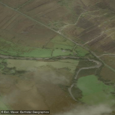
Bunowen [Louisburgh]
- Boat Ramps
- 0
- Access Points
- 0
- Campsites
- 0
The Bunowen River rises in the Sheefry Hills in south County Mayo and flows approximately 21 kilometres through peatland and rough pasture before passing through the town of Louisburgh and emptying into Clew Bay at Carrowmore Beach. The river is a classic western Irish spate river, meaning water levels are closely tied to rainfall, and conditions can change quickly. The lower reaches from Louisburgh to the sea are deep and sluggish in character, while upstream sections offer faster water with pools and glides interspersed with riffles.
Wild Atlantic Leisure, based on Bridge Street in Louisburgh, offers river rafting and kayak hire on the Bunowen, confirming that recreational paddling takes place on the river. The river is freely accessible from multiple points within Louisburgh, and free on-street parking is available in the town centre, with larger car parks at nearby beaches. Louisburgh is located 22 kilometres south of Westport on the R335, and Bus Éireann route 450 connects the two towns.
The river corridor passes through a landscape of peat and pasture, with the waters running clear and reflecting the Atlantic sky. The catchment overlaps with the Mweelrea/Sheeffry/Erriff Complex Special Area of Conservation, which supports Atlantic salmon, freshwater pearl mussel, and otters. Paddlers should be aware that the Bunowen supplies the Louisburgh public water supply and has been identified as a deteriorated water body with documented water quality concerns, including issues related to agricultural land use in the catchment.
Louisburgh offers a range of accommodation including B&Bs, guesthouses, and self-catering cottages, along with pubs and local shops. The river mouth sits close to Bertra, Carrowmore, and Old Head beaches. Roonagh Pier, approximately 7 kilometres west of Louisburgh, operates passenger ferries to Clare Island and Inishturk.
Water access, boat ramps & amenities
Learn how to get on Bunowen [Louisburgh]. Uncover great paddling access points, boat ramps, and all the facilities you need for an unforgettable day on the water. Some locations shown may border or include private property. Always check property boundaries and applicable regulations before visiting. PaddleWays's Public & Private Land layer can help you plan your access with confidence.
Paddle smarter with real-time insights
Whether you're en route and conditions shift or you're looking for the best spot based on current flows, we enable you to make informed decisions on the fly.







Co. Mayo licenses and regulations
No licenses or regulations available for Co. Mayo.
Find Places to Paddle

Over 400,000 Places to Paddle
Every user gets free access to launch points, boat ramps, and public property parcels.


Water and weather conditions (10 day forecast)
See the best times to paddle Bunowen [Louisburgh] and check the forecast before you go.
No forecast data available.
Paddling near Bunowen [Louisburgh]

Lough Corrib
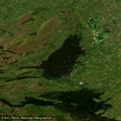
Lough Mask
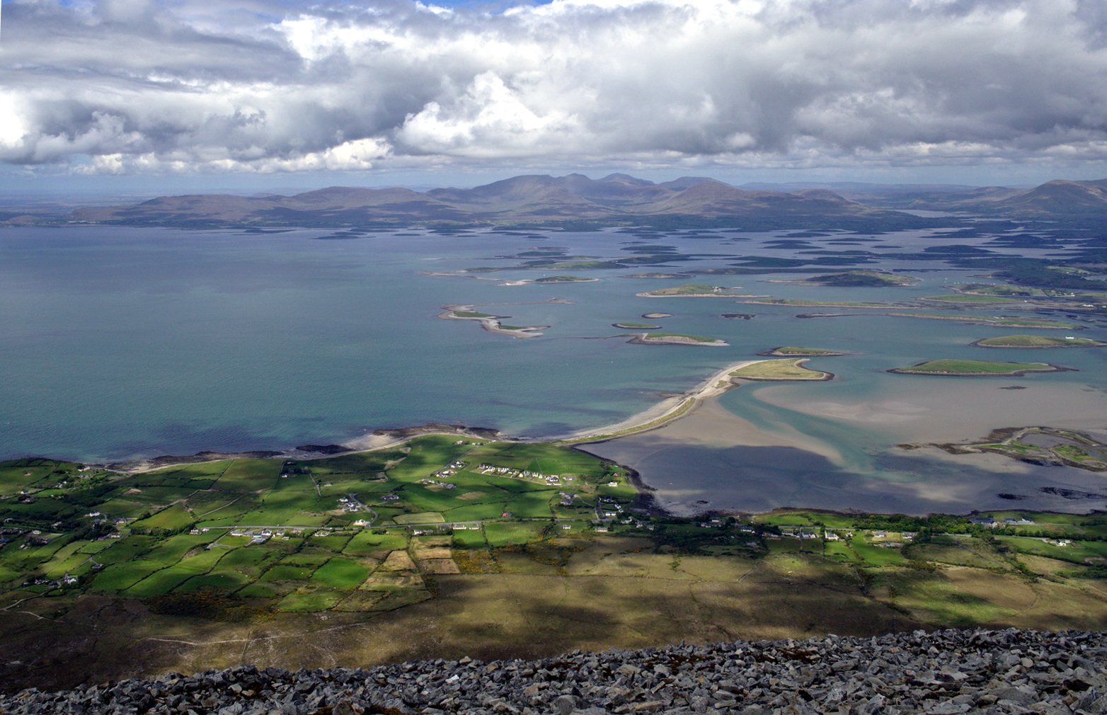
Clew Bay
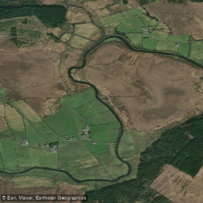
Deel [Crossmolina]

Suck
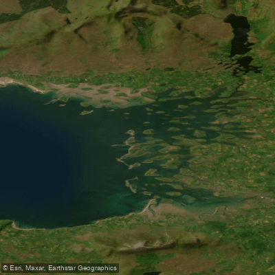
Inner Clew Bay
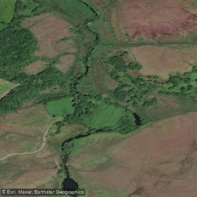
Erriff 32
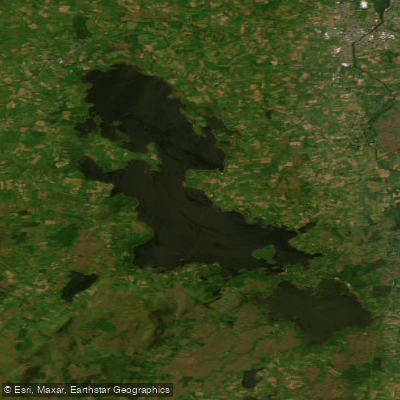
Lough Conn
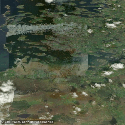
Westport Bay
Explore Mayo waters
Top paddling waters
No waters available right now.
Popular Cities
Loading popular cities...
Explore near Bunowen [Louisburgh]
Nearby waters
More in Co. Mayo

Smarter Paddling Starts in the App.
Paddleways gives you everything you need to plan smarter, paddle better, and own every trip from first launch to takeout.