Outer Tralee Bay
- Saltwater
- Bay
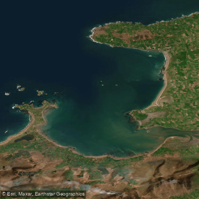
Outer Tralee Bay
- Saltwater
- Bay
- Sq. miles
- 83
- Boat Ramps
- 0
- Access Points
- 0
- Campsites
- 0
Outer Tralee Bay is a coastal water body in County Kerry, Ireland, forming the open marine section of the larger Tralee Bay complex. It stretches from Kerry Head across to the northern shore near Castlegregory, encompassing a significant area of the Atlantic coastline. The bay is part of the Tralee Bay Complex Special Protection Area, indicating its ecological importance. For paddlers, the bay's open nature means significant exposure to Atlantic winds and swells, creating conditions that can range from calm to challenging depending on weather. The fetch across the bay can be considerable, making wind direction and forecast critical for trip planning. Fenit Strand is identified as a popular location for kayaking within the Outer Tralee Bay area, providing a potential access point. The bathymetry data indicates deeper waters in the outer bay, contrasting with the shallower transitional waters of the inner bay and Lee Estuary. Subtidal beds of Zostera marina (seagrass) are recorded from Kilshannig Point to off the shore at Castlegregory and at Scraggane Point, which are features of interest for paddlers exploring the underwater environment. The area is also noted as a shellfish area. Given its coastal nature, tidal currents will be a primary consideration. Paddlers should be aware of other maritime traffic, especially near Fenit, which is a noted sailing location. There are no indicated restrictions specific to paddling, but the area's designation as an SPA implies paddlers should minimize disturbance to wildlife.
Water access, boat ramps & amenities
Learn how to get on Outer Tralee Bay. Uncover great paddling access points, boat ramps, and all the facilities you need for an unforgettable day on the water. Some locations shown may border or include private property. Always check property boundaries and applicable regulations before visiting. PaddleWays's Public & Private Land layer can help you plan your access with confidence.
Paddle smarter with real-time insights
Whether you're en route and conditions shift or you're looking for the best spot based on current flows, we enable you to make informed decisions on the fly.







Co. Kerry licenses and regulations
No licenses or regulations available for Co. Kerry.
Find Places to Paddle

Over 400,000 Places to Paddle
Every user gets free access to launch points, boat ramps, and public property parcels.


Tides, wind & water conditions (10 day forecast)
On open water, wind and tide matter as much as the weather. See the best times to paddle Outer Tralee Bay and check the marine forecast before you launch.
Loading tide predictions…
Paddling near Outer Tralee Bay
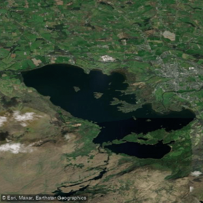
Lough Leane
Caragh
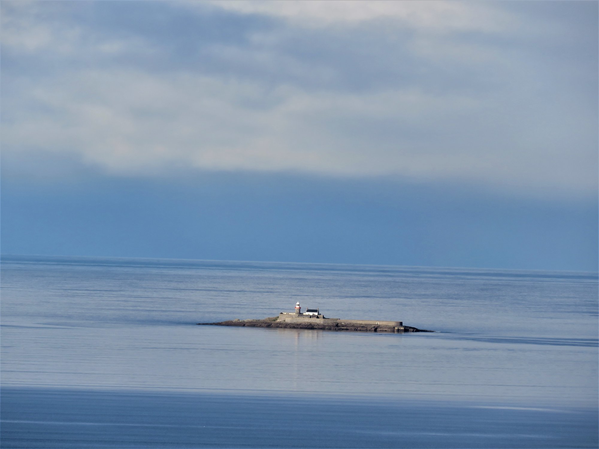
Tralee Bay
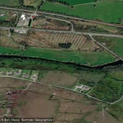
Flesk [Kerry]
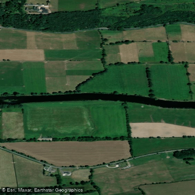
Blackwater [Munster]
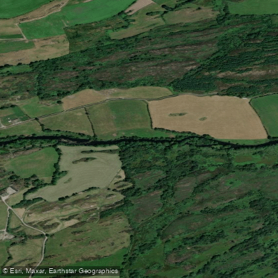
Lee [Cork]
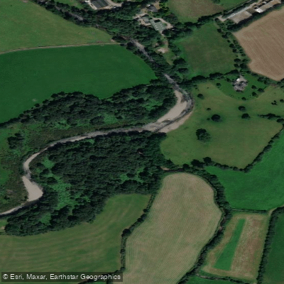
Gaddagh
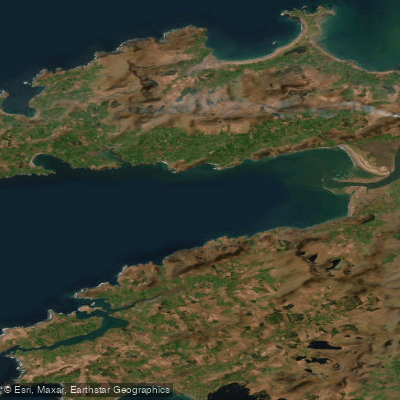
Dingle Bay - Bá an Daingin
Behy [Kerry]
Explore Kerry waters
Top paddling waters
No waters available right now.
Popular Cities
Loading popular cities...
Explore near Outer Tralee Bay

Smarter Paddling Starts in the App.
Paddleways gives you everything you need to plan smarter, paddle better, and own every trip from first launch to takeout.