Tralee Bay
- Saltwater
- Bay
Tralee Bay
- Saltwater
- Bay
- Sq. miles
- 79
- Boat Ramps
- 0
- Access Points
- 0
- Campsites
- 0
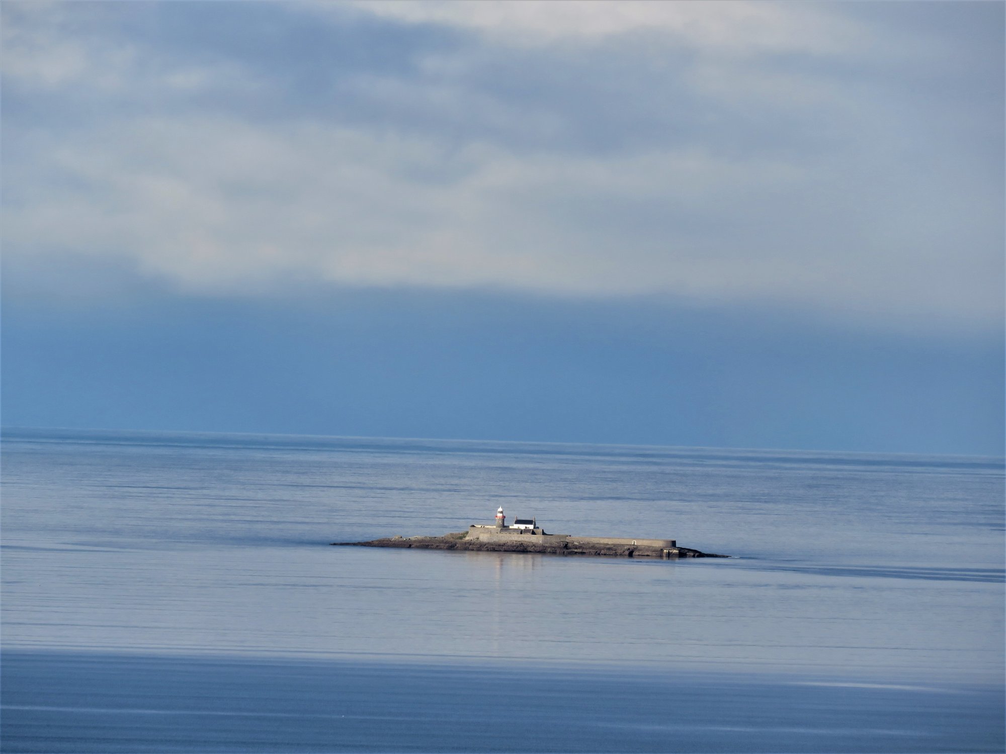
Tralee Bay is a broad, sheltered coastal bay on the north Kerry coast, situated between the Dingle Peninsula and Kerry Head. The bay is bounded on its western side by the Maharees Peninsula, which provides a degree of protection from the open Atlantic. The southern shore is dominated by Fenit Harbour, a primary hub for marine activity. The water across much of the bay is relatively shallow, creating calmer conditions, particularly during the summer months, which offer perfect paddling conditions. The bay's aesthetic is defined by the dramatic backdrop of the Slieve Mish Mountains and a coastline featuring dramatic red cliffs, sea arches, and caves. The area is part of the Wild Atlantic Way, known for its scenic landscapes. Fenit is the central point for water-based activities, serving as the base for guided sea kayaking tours and other adventures. Key access points for paddlers are Fenit Harbour and the surrounding coastline. The bay's waters are crystal clear. Wildlife sightings can include native birds, dolphins, and whales. The Tralee Bay Wetlands, an 8000-acre reserve stretching from the mountains to the bay, offers a different ecological perspective with potential for bird watching, though this is a separate freshwater/brackish system accessed from land. The historic Fenit Lighthouse and Little Samphire Lighthouse are notable landmarks visible from the water. Coasteering is a popular activity along the dramatic cliff coastline, indicating the presence of rocky shores suitable for advanced exploration. Boat traffic is present, centered on Fenit Harbour and the main shipping channel, and commercial tours like the Fenit Sea Safari operate in the area. For paddlers, the main considerations are the exposure to Atlantic weather, the potential for boat traffic near the harbour, and the use of tides for exploring coastal features. The summer season provides the most reliably calm conditions.
Water access, boat ramps & amenities
Learn how to get on Tralee Bay. Uncover great paddling access points, boat ramps, and all the facilities you need for an unforgettable day on the water. Some locations shown may border or include private property. Always check property boundaries and applicable regulations before visiting. PaddleWays's Public & Private Land layer can help you plan your access with confidence.
Paddle smarter with real-time insights
Whether you're en route and conditions shift or you're looking for the best spot based on current flows, we enable you to make informed decisions on the fly.







Co. Kerry licenses and regulations
No licenses or regulations available for Co. Kerry.
Find Places to Paddle

Over 400,000 Places to Paddle
Every user gets free access to launch points, boat ramps, and public property parcels.


Tides, wind & water conditions (10 day forecast)
On open water, wind and tide matter as much as the weather. See the best times to paddle Tralee Bay and check the marine forecast before you launch.
Loading tide predictions…
Paddling near Tralee Bay
Lough Leane
Caragh
Flesk [Kerry]
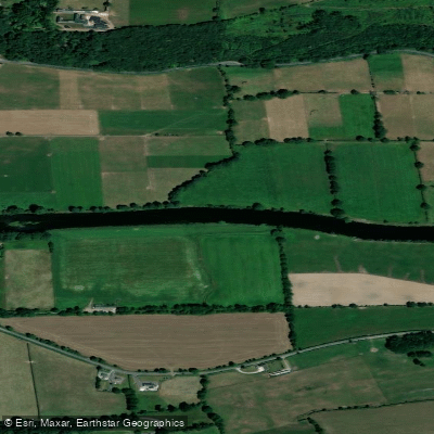
Blackwater [Munster]
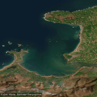
Outer Tralee Bay
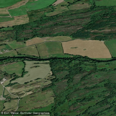
Lee [Cork]
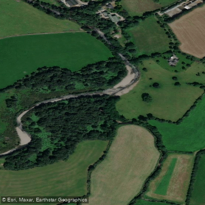
Gaddagh
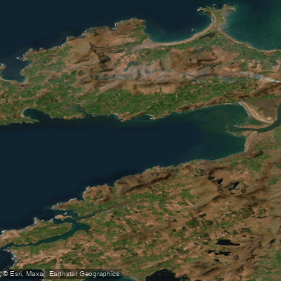
Dingle Bay - Bá an Daingin
Behy [Kerry]
Explore Kerry waters
Top paddling waters
No waters available right now.
Popular Cities
Loading popular cities...
Explore near Tralee Bay

Smarter Paddling Starts in the App.
Paddleways gives you everything you need to plan smarter, paddle better, and own every trip from first launch to takeout.