Gulladoo Lough
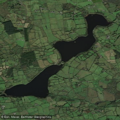
Gulladoo Lough
- Boat Ramps
- 0
- Access Points
- 0
- Campsites
- 0
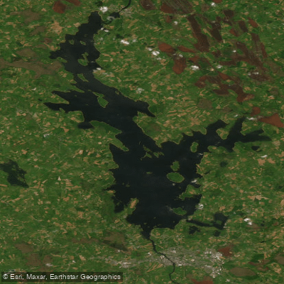
Gulladoo Lough is located near Carrigallen in County Leitrim, along the border between Leitrim and Cavan, and forms part of the greater River Erne system. The lake exists in two connected sections — Upper and Lower Gulladoo — separated by a bridge and amenity area managed by Leitrim County Council. The surrounding landscape consists of rolling drumlins and native trees typical of the Irish midlands drumlin belt.
The two sections are connected by a channel running under a bridge at the amenity area between them. Paddlers considering passage between the upper and lower lakes should be aware that this manoeuvre requires extreme caution and is only possible depending on water levels. A boat can be launched from the western shore of the upper lake via a gravel roadway extending approximately 200 metres, with car parking available at that point, again subject to water levels. On the lower lake, there is a launch point at the northern shore where the river exits, and this location also includes a facility for wheelchair users.
The lake connects downstream via the Cullies River to a chain of satellite loughs — Beaghamore, Tully, and Gortermone — located approximately 500 metres southwest of Gulladoo. These are linked by the Cullies river system, and access between them by water is possible depending on water levels. Cullies Lake lies downstream and northeast of Gulladoo, with bank access on its southern shoreline.
The water supports populations of pike, bream, roach, hybrids, tench, and perch, which indicates a productive, well-vegetated lake environment. The banks are described as comfortable in places, and there is a jetty near the outflow into the Cullies River on the lower lake. The area around the lake is suitable for birdwatching and general nature observation given the surrounding vegetation and relatively undisturbed shoreline in parts.
Access to the site from Carrigallen is straightforward: from the main street, turn toward Arvagh and after approximately 1.7 miles turn left following signs for the Gulladoo amenity. The lower lake is accessible from the roadside, and the upper lake is reached by continuing along and taking the first right past the village to the car park.
Water access, boat ramps & amenities
Learn how to get on Gulladoo Lough. Uncover great paddling access points, boat ramps, and all the facilities you need for an unforgettable day on the water. Some locations shown may border or include private property. Always check property boundaries and applicable regulations before visiting. PaddleWays's Public & Private Land layer can help you plan your access with confidence.
Paddle smarter with real-time insights
Whether you're en route and conditions shift or you're looking for the best spot based on current flows, we enable you to make informed decisions on the fly.







Co. Leitrim licenses and regulations
No licenses or regulations available for Co. Leitrim.
Find Places to Paddle

Over 400,000 Places to Paddle
Every user gets free access to launch points, boat ramps, and public property parcels.


Water and weather conditions (10 day forecast)
See the best times to paddle Gulladoo Lough and check the forecast before you go.
No forecast data available.
Paddling near Gulladoo Lough

Inny [Shannon]
Erne
Outer Dundalk Bay
Erne (Lough) (Upper)
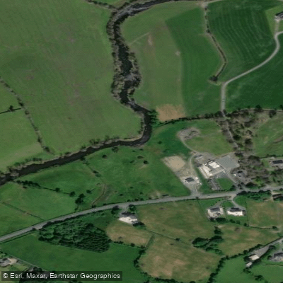
Annalee
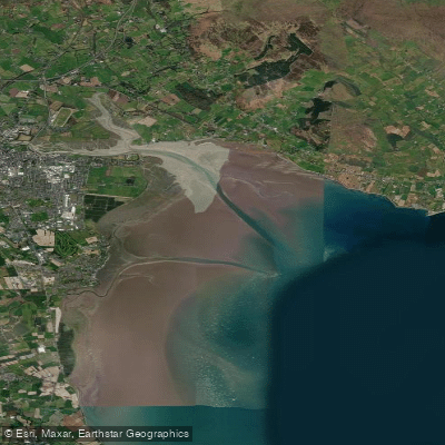
Inner Dundalk Bay

Shannon [Upper]
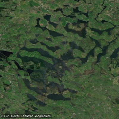
Lough Oughter
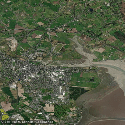
Castletown Estuary
Lough Ree
Explore Leitrim waters
Top paddling waters
No waters available right now.
Popular Cities
Loading popular cities...
Explore near Gulladoo Lough

Smarter Paddling Starts in the App.
Paddleways gives you everything you need to plan smarter, paddle better, and own every trip from first launch to takeout.