Killala Bay
- Saltwater
- Bay
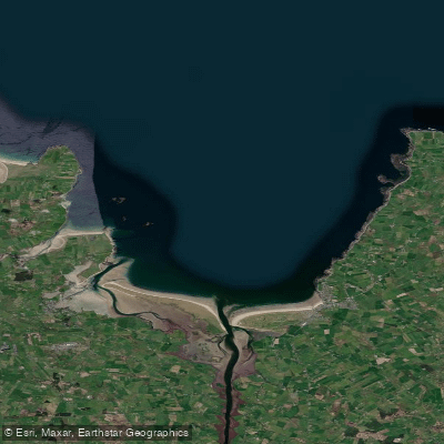
Killala Bay
- Saltwater
- Bay
- Sq. miles
- 31
- Boat Ramps
- 0
- Access Points
- 0
- Campsites
- 0
Killala Bay is a coastal bay on the north Mayo coast, forming a wide, open expanse of saltwater. The bay's waters are noted for their crystal-clear quality and host a variety of sea life, including seals and dolphins. For paddlers, the bay itself is an exposed marine environment, offering open-water touring opportunities between points like Enniscrone in County Sligo, the village of Killala, and The Quay in Ballina. A notable feature within the bay is Bartra Island, which serves as a destination for foraging and exploration. The coastal area includes vast sand dunes, golden sand strands like Ross Strand and Lacken Strand, and deserted coves. A significant new underwater feature is the planned artificial reef created by the deliberate sinking of the MV Shingle, a 60-meter vessel, which will be of interest to paddlers passing over the site.
Key access points for launching and taking out include The Quay in Ballina, which offers a sheltered, tidal environment suitable for learning. From here, paddlers can access the lower reaches of the River Moy, which flows into the bay, and under favorable high tide conditions, can paddle upriver under bridges into Ballina town. Enniscrone Pier in County Sligo is another launch site, providing a contained harbour area that offers shelter from certain wind directions, with the open bay and beach adjacent for more exposed conditions. The village of Killala itself, with its small pier, serves as another potential access point. The bay is exposed to wind and swell from the Atlantic, with fetch across the open water. The area is used for various watersports, including surfing, which indicates the presence of surf zones, particularly at beaches like Enniscrone. Boat traffic should be anticipated, especially near the shipping channel used for the MV Shingle operation. The area's exposure necessitates careful weather and tide planning. A local operator is open for bookings year-round, with full operation from April to October.
Water access, boat ramps & amenities
Learn how to get on Killala Bay. Uncover great paddling access points, boat ramps, and all the facilities you need for an unforgettable day on the water. Some locations shown may border or include private property. Always check property boundaries and applicable regulations before visiting. PaddleWays's Public & Private Land layer can help you plan your access with confidence.
Paddle smarter with real-time insights
Whether you're en route and conditions shift or you're looking for the best spot based on current flows, we enable you to make informed decisions on the fly.







Co. Mayo licenses and regulations
No licenses or regulations available for Co. Mayo.
Find Places to Paddle

Over 400,000 Places to Paddle
Every user gets free access to launch points, boat ramps, and public property parcels.


Tides, wind & water conditions (10 day forecast)
On open water, wind and tide matter as much as the weather. See the best times to paddle Killala Bay and check the marine forecast before you launch.
Loading tide predictions…
Paddling near Killala Bay
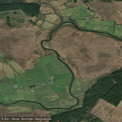
Deel [Crossmolina]
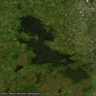
Lough Conn
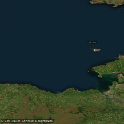
Donegal Bay Southern

Suck
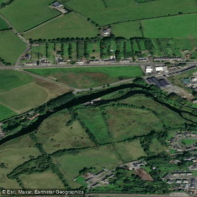
Boyle

Shannon [Upper]
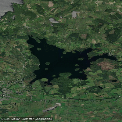
Lough Key
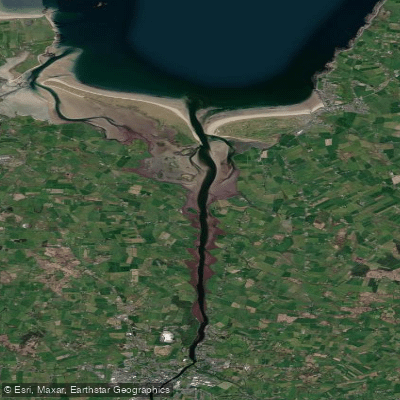
Moy Estuary

Lough Corrib
Explore Mayo waters
Top paddling waters
No waters available right now.
Popular Cities
Loading popular cities...
Explore near Killala Bay

Smarter Paddling Starts in the App.
Paddleways gives you everything you need to plan smarter, paddle better, and own every trip from first launch to takeout.