Lough Conn
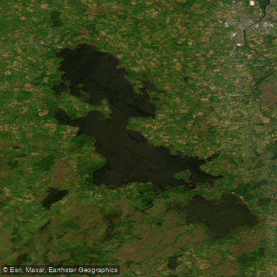
Lough Conn
- Boat Ramps
- 0
- Access Points
- 0
- Campsites
- 0
Lough Conn is a large lake in County Mayo, in the west of Ireland, covering approximately 48 square kilometres, making it Ireland's seventh largest lake. It sits at a surface elevation of 9 metres and drains southward via Lough Cullin into the Atlantic Ocean through the River Moy. The lake's catchment area extends to over 416 square kilometres, and the surrounding landscape includes the prominent bulk of Mount Nephin to the east, which provides a distinctive backdrop visible from much of the water.
The main access points for paddlers are the villages of Pontoon, Crossmolina, and Foxford, all reachable by car. Pontoon sits at the narrow channel connecting Lough Conn to Lough Cullin to the south, and it is possible to paddle under Pontoon Bridge to access Lough Cullin from there. A launch point is also available opposite Healy's Hotel at Pontoon. The lake is freely accessible with no admission fee, and parking is available at various points along the shoreline, including designated lay-bys along the scenic drive and near the Enniscoe House estate.
The lake is a noted habitat for birds, and paddlers have described the northern shore in particular as a bird paradise. The ruins of Errew Abbey, a medieval priory, are located on the lake's shores and represent a point of historical and cultural interest. The lake's waters are described as clear and clean.
Given the lake's considerable size — roughly 48 square kilometres — paddlers should be prepared for open-water conditions. The lake is exposed to Atlantic weather systems, and conditions can change. Fishing activity is heavy on the lake, particularly during the mayfly and dapping seasons in spring, and during autumn salmon runs, so paddlers should be aware of boat traffic from anglers and ghillies operating motorised craft. Boat hire is available at the lake.
The lake is described as suitable for beginners as well as more experienced paddlers, with the broader North Mayo region offering more challenging sea kayaking options for those seeking advanced conditions. Public toilets are available at the main lay-by near Pontoon. The nearest larger towns for supplies and services are Ballina, approximately 15 kilometres away, and Castlebar, accessible via the R310.
Water access, boat ramps & amenities
Learn how to get on Lough Conn. Uncover great paddling access points, boat ramps, and all the facilities you need for an unforgettable day on the water. Some locations shown may border or include private property. Always check property boundaries and applicable regulations before visiting. PaddleWays's Public & Private Land layer can help you plan your access with confidence.
Paddle smarter with real-time insights
Whether you're en route and conditions shift or you're looking for the best spot based on current flows, we enable you to make informed decisions on the fly.







Co. Mayo licenses and regulations
No licenses or regulations available for Co. Mayo.
Find Places to Paddle

Over 400,000 Places to Paddle
Every user gets free access to launch points, boat ramps, and public property parcels.


Water and weather conditions (10 day forecast)
See the best times to paddle Lough Conn and check the forecast before you go.
Pontoon
All Flow Stations
Paddling near Lough Conn
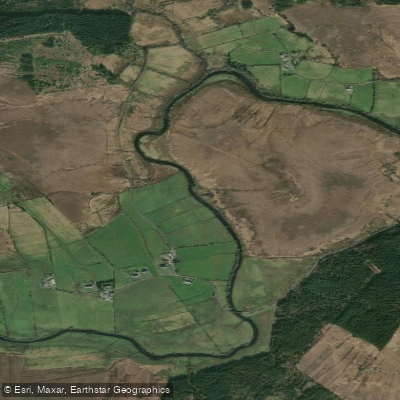
Deel [Crossmolina]
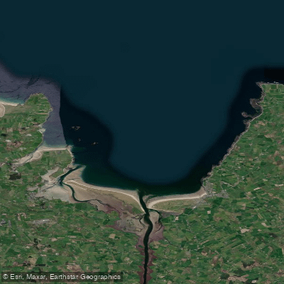
Killala Bay

Suck

Lough Corrib
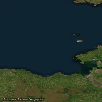
Donegal Bay Southern
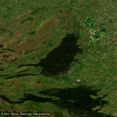
Lough Mask
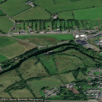
Boyle
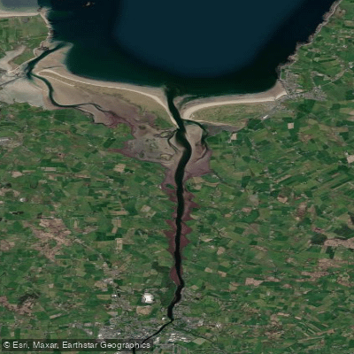
Moy Estuary

Shannon [Upper]
Explore Mayo waters
Top paddling waters
No waters available right now.
Popular Cities
Loading popular cities...
Explore near Lough Conn

Smarter Paddling Starts in the App.
Paddleways gives you everything you need to plan smarter, paddle better, and own every trip from first launch to takeout.