Moy Estuary
- Saltwater
- Estuary
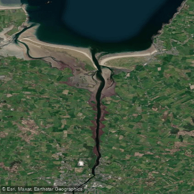
Moy Estuary
- Saltwater
- Estuary
- Sq. miles
- 2.9
- Boat Ramps
- 0
- Access Points
- 0
- Campsites
- 0
The Moy Estuary is a coastal estuary on the River Moy in County Mayo, Ireland, flowing into the Atlantic Ocean. The primary access point for paddlers is Ballina Quay, located on the eastern side of the river. This quay is a key boat access point with visitor moorings and is the starting location for commercial kayaking tours and paddleboarding schools. The quay area is picturesque, quiet, and peaceful, with Belleek Woods and its forest pathways situated directly across the river. A notable sight for paddlers is the wreck of the concrete ship SS Creteboom, which lies abandoned on a sandbank within the estuary. The estuary is also used for seal watching, and trips to Bartra Island are a common charter activity. The water body supports various paddling activities, from relaxed two-hour paddles on the River Moy to more challenging full-day tours along the estuary itself. The area is shared with other boat traffic, including angling charters and a local rowing club that operates between Rosserk and the Cathedral. Paddlers should be prepared for typical estuary conditions, including potential currents, wind exposure, and interaction with other vessels.
Water access, boat ramps & amenities
Learn how to get on Moy Estuary. Uncover great paddling access points, boat ramps, and all the facilities you need for an unforgettable day on the water. Some locations shown may border or include private property. Always check property boundaries and applicable regulations before visiting. PaddleWays's Public & Private Land layer can help you plan your access with confidence.
Paddle smarter with real-time insights
Whether you're en route and conditions shift or you're looking for the best spot based on current flows, we enable you to make informed decisions on the fly.







Co. Mayo licenses and regulations
No licenses or regulations available for Co. Mayo.
Find Places to Paddle

Over 400,000 Places to Paddle
Every user gets free access to launch points, boat ramps, and public property parcels.


Tides, wind & water conditions (10 day forecast)
On open water, wind and tide matter as much as the weather. See the best times to paddle Moy Estuary and check the marine forecast before you launch.
Loading tide predictions…
Paddling near Moy Estuary
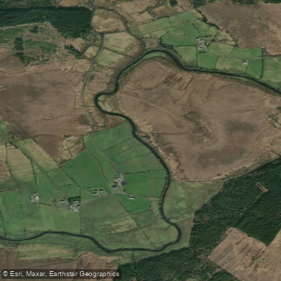
Deel [Crossmolina]
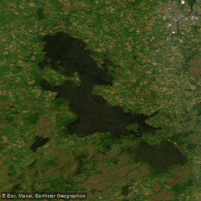
Lough Conn
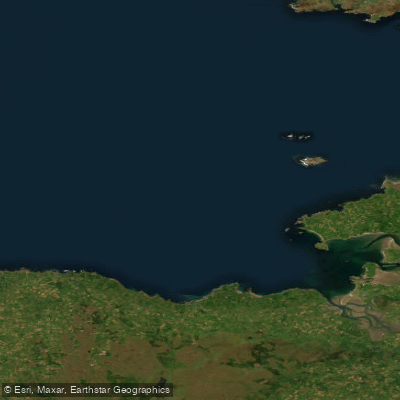
Donegal Bay Southern

Suck
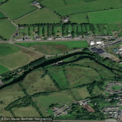
Boyle
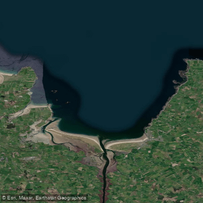
Killala Bay

Shannon [Upper]
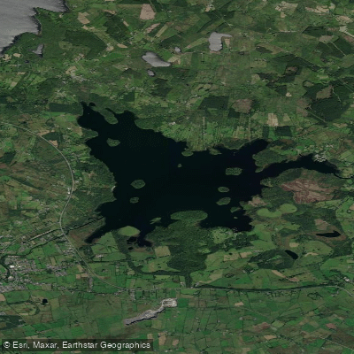
Lough Key

Lough Corrib
Explore Mayo waters
Top paddling waters
No waters available right now.
Popular Cities
Loading popular cities...
Explore near Moy Estuary

Smarter Paddling Starts in the App.
Paddleways gives you everything you need to plan smarter, paddle better, and own every trip from first launch to takeout.