Paddling in Co. Mayo
- Lakes
- 559
- Rivers
- 1,982
- Access
- 3
- Boat Ramps
- 6
- Shops
- 2
Mayo sits on Ireland's Atlantic edge, where the landscape swings between mountain, bog, and a coastline that's been carved into bays, fjords, and island-scattered inlets.
The paddling here is dominated by the sea — specifically the wild, rewarding stretch of Atlantic coast that runs from Killary Fjord in the south to Clew Bay and out to Achill Island.
Inland, a chain of large limestone loughs fills the eastern half of the county. Between those two worlds, a handful of rivers connect the uplands to the coast. Killary Fjord is the anchor of the sea paddling scene in the south of the county.
It runs 16 kilometres and drops to over 45 metres at its deepest, with Mweelrea — Connacht's highest mountain at 814 metres — rising off the northern shore.
Guided trips run April through October, and the scale of the place tends to surprise people who come expecting a sheltered inlet and find something closer to a Norwegian fjord.
Clew Bay is a different kind of experience — shallower, more complex, threaded with some 365 islands. Croagh Patrick frames the whole scene from the south.
The bay rewards careful navigation and local knowledge; the Blueway network here provides mapped routes, safety information, and links to equipment hire.
Keem Bay on Achill Island and Old Head near Louisburgh are the other Blueway locations, each offering a different character of Atlantic coast.
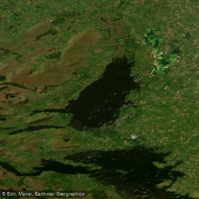
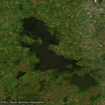
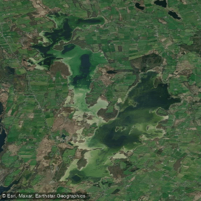
Inland, Lough Conn and Lough Mask are the big waters — broad, exposed loughs that demand respect when the wind picks up, which it does often and without much warning in Mayo.
Lough Carra and Furnace Lough are quieter options in the same general area, better suited to a relaxed day on the water.
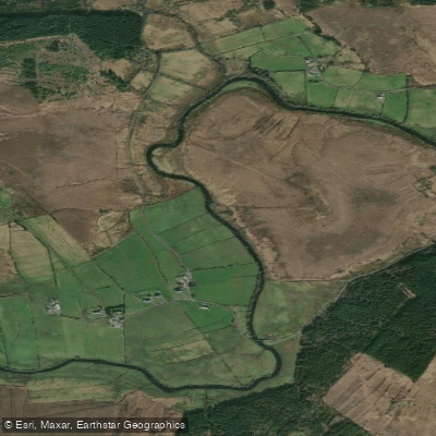
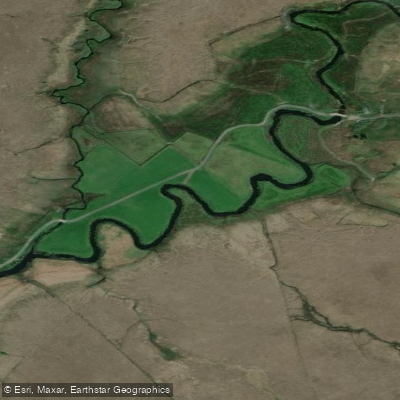
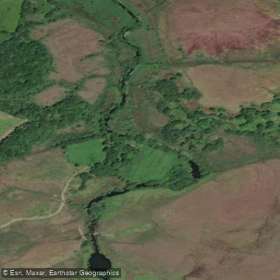
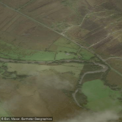
The rivers here are mostly short and spate-dependent — the Erriff and the Newport River among them — running fast after rain and dropping off quickly in dry stretches.
They're worth watching when conditions are right, but Mayo's rivers aren't the main event the way the coast and loughs are. If there's a thread running through paddling in Mayo, it's that the Atlantic sets the terms.
The coast is genuinely exposed, the weather changes fast, and the rewards — seals, sea stacks, the occasional sunfish — come to people who've done their homework before launching.


Paddle smarter with real-time insights
Whether you're en route and conditions shift or you're looking for the best spot based on current flows, we enable you to make informed decisions on the fly.







Co. Mayo licenses and regulations
Explore Mayo waters
Top paddling waters
Popular Cities
Loading popular cities...

Smarter Paddling Starts in the App.
Paddleways gives you everything you need to plan smarter, paddle better, and own every trip from first launch to takeout.