Deel [Crossmolina]
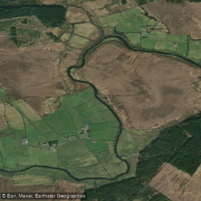
Deel [Crossmolina]
- Boat Ramps
- 0
- Access Points
- 0
- Campsites
- 0
The River Deel near Crossmolina in County Mayo, Ireland, is a 45-kilometre river that rises in the Nephin Beg mountains and flows through moorland and pastures before passing through the town of Crossmolina and entering the northern end of Lough Conn. It drains a catchment of approximately 63 square kilometres and is the largest tributary of the River Moy system. The river's character shifts considerably along its length, with more remote and lively conditions in the upper reaches and calmer water in the lower stretches approaching Lough Conn.
Kayaking on the Deel has grown in popularity in recent years, with paddlers exploring the river both upstream from Crossmolina and in the lower reaches near Lough Conn. The river has been used as a venue for river safety and rescue training courses, suggesting it offers suitable conditions for skills development when water levels are adequate. Paddlers and local clubs have noted that higher water levels following heavy rainfall produce the best conditions for a river run, indicating the Deel is level-dependent and most suitable after significant precipitation.
The lower reaches near the shore of Lough Conn pass by historically significant ruins, including Castle Gore and Deel Castle, both dating to the 16th century. The last structure on the site was built in 1790, damaged during the 1798 rebellion, and ultimately burned during the Civil War in 1922.
The river supports notable biodiversity, including rare white-clawed crayfish and freshwater pearl mussels, both of which are sensitive indicator species. The presence of these species reflects the river's ecological importance, though water quality concerns have been identified in certain sub-catchments, particularly related to phosphorus and ammonia runoff from peat bogs and forestry on peat. Paddlers should be aware that the river flows through working agricultural and peat landscape, which influences water quality in places.
The river also supports salmon and trout fishing, which is a significant activity along its length. Paddlers sharing the water with anglers should be mindful of this, particularly during fishing seasons.
Water access, boat ramps & amenities
Learn how to get on Deel [Crossmolina]. Uncover great paddling access points, boat ramps, and all the facilities you need for an unforgettable day on the water. Some locations shown may border or include private property. Always check property boundaries and applicable regulations before visiting. PaddleWays's Public & Private Land layer can help you plan your access with confidence.
Paddle smarter with real-time insights
Whether you're en route and conditions shift or you're looking for the best spot based on current flows, we enable you to make informed decisions on the fly.







Co. Mayo licenses and regulations
No licenses or regulations available for Co. Mayo.
Find Places to Paddle

Over 400,000 Places to Paddle
Every user gets free access to launch points, boat ramps, and public property parcels.


Water and weather conditions (10 day forecast)
See the best times to paddle Deel [Crossmolina] and check the forecast before you go.
Ballycarroon
All Flow Stations
Paddling near Deel [Crossmolina]
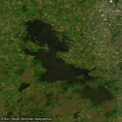
Lough Conn
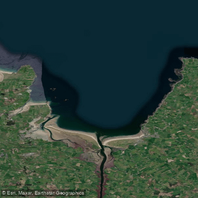
Killala Bay

Suck

Lough Corrib
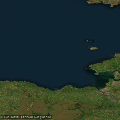
Donegal Bay Southern
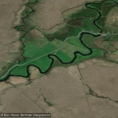
Owenmore [Mayo]
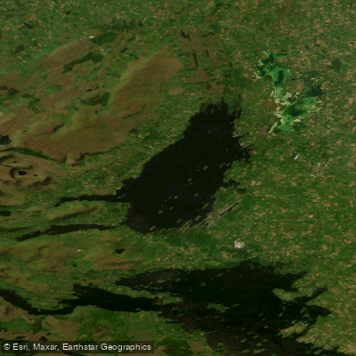
Lough Mask
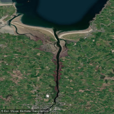
Moy Estuary
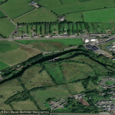
Boyle
Explore Mayo waters
Top paddling waters
No waters available right now.
Popular Cities
Loading popular cities...
Explore near Deel [Crossmolina]
Nearby waters
More in Co. Mayo

Smarter Paddling Starts in the App.
Paddleways gives you everything you need to plan smarter, paddle better, and own every trip from first launch to takeout.