Colligan Estuary
- Saltwater
- Estuary
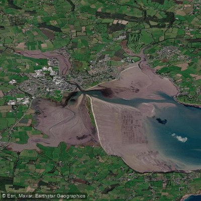
Colligan Estuary
- Saltwater
- Estuary
- Sq. miles
- 3.9
- Boat Ramps
- 0
- Access Points
- 1
- Campsites
- 1
The Colligan Estuary is a tidal estuary located in County Waterford, Ireland, forming part of Dungarvan Harbour where the River Colligan broadens and enters the sea. The estuary is characterized by tidal flats and is flanked by the town of Dungarvan on one side and the area of Abbeyside on the opposite shore. A notable geographical feature is a railway causeway constructed across the estuary, which now forms part of the Waterford Greenway, a pedestrian and cycle path. This causeway and another at Barnawee were significant engineering projects due to the harsh terrain. The estuary extends inland at least as far as Ballyneety Bridge. The water body is part of the Dungarvan Harbour Special Protection Area, indicating its ecological importance. For paddlers, the primary access point is from Dungarvan Harbour itself, where the estuary meets the sea. The area is subject to tidal influence, and paddlers must be aware of the tidal currents, especially when navigating the broader harbour area before entering the more confined estuary. The presence of the causeway may influence water flow and create specific paddling conditions. The estuary is overlooked by The Park Hotel Dungarvan, which sits on its shores, and the wider area offers views of the Waterford coastline. Given its status as a protected area, paddlers should be mindful of wildlife and adhere to any regulations designed to conserve the habitat. The historical railway infrastructure, now repurposed as the Greenway, adds a cultural element to the landscape visible from the water.
Water access, boat ramps & amenities
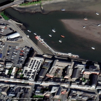
Learn how to get on Colligan Estuary. Uncover great paddling access points, boat ramps, and all the facilities you need for an unforgettable day on the water. Some locations shown may border or include private property. Always check property boundaries and applicable regulations before visiting. PaddleWays's Public & Private Land layer can help you plan your access with confidence.
Paddle smarter with real-time insights
Whether you're en route and conditions shift or you're looking for the best spot based on current flows, we enable you to make informed decisions on the fly.







Co. Waterford licenses and regulations
No licenses or regulations available for Co. Waterford.
Find Places to Paddle

Over 400,000 Places to Paddle
Every user gets free access to launch points, boat ramps, and public property parcels.


Tides, wind & water conditions (10 day forecast)
On open water, wind and tide matter as much as the weather. See the best times to paddle Colligan Estuary and check the marine forecast before you launch.
Loading tide predictions…
Paddling near Colligan Estuary
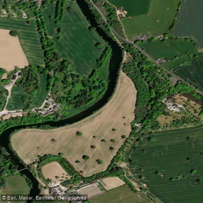
Suir
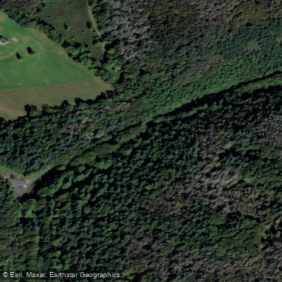
Colligan
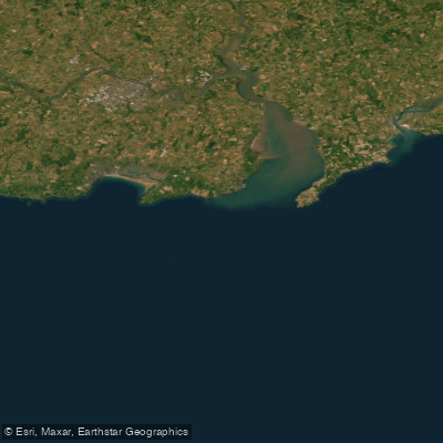
Eastern Celtic Sea (HAs 13;17)
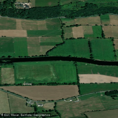
Blackwater [Munster]
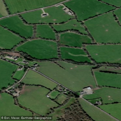
Mahon
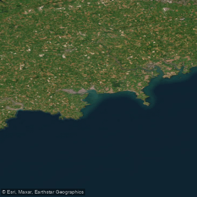
Western Celtic Sea (HAs 18;19;20)
Nier
Clodiagh [Portlaw]
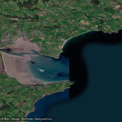
Dungarvan Harbour

Barrow
Explore Waterford waters
Top paddling waters
No waters available right now.
Popular Cities
Loading popular cities...
Explore near Colligan Estuary

Smarter Paddling Starts in the App.
Paddleways gives you everything you need to plan smarter, paddle better, and own every trip from first launch to takeout.