Lene
Lene
- Boat Ramps
- 0
- Access Points
- 0
- Campsites
- 0
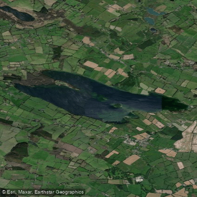
Lough Lene (Irish: Loch Léinn) is a glacial lake situated in north County Westmeath, Ireland, between the villages of Castlepollard, Collinstown, and Fore. The lake covers a surface area of 5 km² (1.9 sq mi) and sits at an elevation of 97 m (318 ft). Its glacial origins give it notable water clarity and quality — it was among the first freshwater lakes in Ireland to receive a Blue Flag designation for pollution-free water.
The primary the Cut, located approximately 2 km north of the Collinstown crossroads on the east end of the lake. A slipway is available at this location, making it a practical put-in for paddlers. Dressing rooms and picnic areas are also available at the Cut, providing basic amenities for those spending time on the water.
The lake contains three islands — Nun's Island, Castle Island, and Turgesius Island — which offer natural waypoints for paddling routes. Turgesius Island lies approximately one mile from the slipway at the Cut, a distance commonly used as a reference point by swimmers training on the lake. A 750-metre swim trail marked by large buoys was established along the North Shore in 2022, and a separate designated bathing area with additional buoys exists nearby. Paddlers should be aware of these marked zones and the regular presence of swimmers, particularly in summer months, as local triathlon clubs and swimming groups train and hold events on the lake.
Water temperatures in summer average around 17°C. The lake has frozen in notable winters, including 1951, 1982, and January and December 2010, which gives some indication of the range of winter conditions. Sailing and windsurfing are also practiced on the lake, so paddlers should expect shared use of the water, particularly during warmer months.
The lake's coordinates are 53°39′53″N 7°14′13″W, placing it in a rural part of the Irish Midlands. Its water clarity is a defining characteristic, making it visually distinctive compared to many other lakes in the region.
Water access, boat ramps & amenities
Learn how to get on Lene. Uncover great paddling access points, boat ramps, and all the facilities you need for an unforgettable day on the water. Some locations shown may border or include private property. Always check property boundaries and applicable regulations before visiting. PaddleWays's Public & Private Land layer can help you plan your access with confidence.
Paddle smarter with real-time insights
Whether you're en route and conditions shift or you're looking for the best spot based on current flows, we enable you to make informed decisions on the fly.







Co. Westmeath licenses and regulations
No licenses or regulations available for Co. Westmeath.
Find Places to Paddle

Over 400,000 Places to Paddle
Every user gets free access to launch points, boat ramps, and public property parcels.


Water and weather conditions (10 day forecast)
See the best times to paddle Lene and check the forecast before you go.
No forecast data available.
Paddling near Lene

Inny [Shannon]
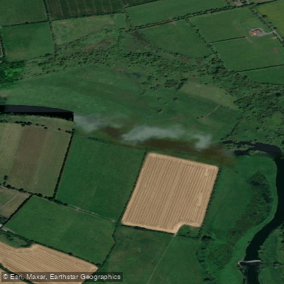
Boyne
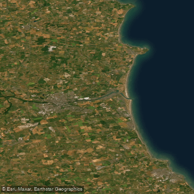
Boyne Estuary
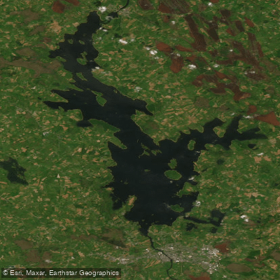
Lough Ree

Shannon [Upper]
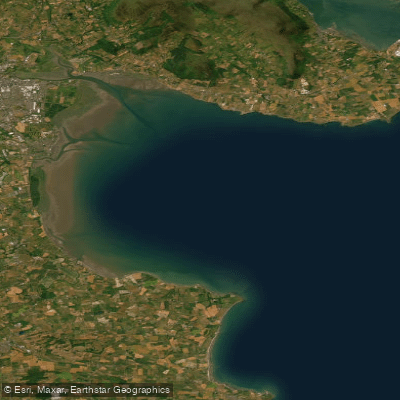
Outer Dundalk Bay
Erne
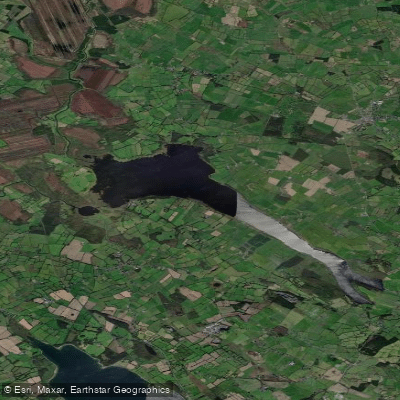
Lough Derravaragh
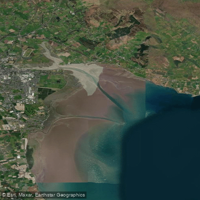
Inner Dundalk Bay

Barrow
Explore Westmeath waters
Top paddling waters
No waters available right now.
Popular Cities
Loading popular cities...
Explore near Lene

Smarter Paddling Starts in the App.
Paddleways gives you everything you need to plan smarter, paddle better, and own every trip from first launch to takeout.