Owel ( Lough )
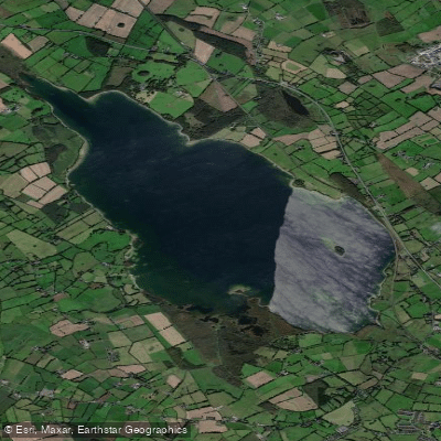
Owel ( Lough )
- Boat Ramps
- 0
- Access Points
- 0
- Campsites
- 0
Lough Owel (Irish: Loch Uail) is a large glacial lake in County Westmeath, situated approximately 3–4 kilometres north of Mullingar in the Irish Midlands. The lake covers a surface area of 10.22 square kilometres (roughly 2,500 acres), stretches about 6 kilometres in length and 3 kilometres in width, and reaches a maximum depth of 21 metres. It sits at an elevation of 97 metres and is notable for its exceptional water clarity, with visibility reported at over 6 metres on bright days. The lake is spring-fed, calcareous, and classified as mesotrophic, contributing to its high water quality — it also serves as the water supply reservoir for Mullingar.
The primary access points are located on the southern end of the lake. Tullaghan offers a slipway, car parking, and boat berthage, and is signposted from the old Mullingar–Longford road (the old N4). Mullally's Boat House, also on the southern shore, provides a car park, a green park area, a gradual sloping shoreline, and safe mooring. Hire boats are available at Mullally's. Mullingar Sailing Club is also situated on the lake and has a clubhouse, hard standing, and a launching slipway.
The lake contains six islands, four of which are prominent: Church Island (the largest, featuring the ruins of St. Loman's Oratory), Srudarra Island, Lady's Island, and Carrickphilbin Island. Paddlers have noted routes from the southern car park out to Lady's Island as a natural destination. The lake's historical and ecclesiastical associations with St. Loman add cultural interest to island exploration.
Lough Owel is primarily managed as a trout fishery by Inland Fisheries Ireland, and anglers are active on the water throughout the open season (1 March to 12 October). Paddlers should be aware of boat traffic, particularly motorised hire and angling boats. The lake is a designated Ramsar Wetland site (designated 7 June 1996), reflecting its ecological significance. Water from Lough Owel feeds the Royal Canal, which connects Dublin to the River Shannon.
The lake's depth and open expanse mean it can be exposed to wind, which paddlers should factor into trip planning. The surrounding landscape is typical of the Irish Midlands, with the lake's clear water and island features providing a varied paddling environment.
Water access, boat ramps & amenities
Learn how to get on Owel ( Lough ). Uncover great paddling access points, boat ramps, and all the facilities you need for an unforgettable day on the water. Some locations shown may border or include private property. Always check property boundaries and applicable regulations before visiting. PaddleWays's Public & Private Land layer can help you plan your access with confidence.
Paddle smarter with real-time insights
Whether you're en route and conditions shift or you're looking for the best spot based on current flows, we enable you to make informed decisions on the fly.







Co. Westmeath licenses and regulations
No licenses or regulations available for Co. Westmeath.
Find Places to Paddle

Over 400,000 Places to Paddle
Every user gets free access to launch points, boat ramps, and public property parcels.


Water and weather conditions (10 day forecast)
See the best times to paddle Owel ( Lough ) and check the forecast before you go.
No forecast data available.
Paddling near Owel ( Lough )

Inny [Shannon]
Boyne
Boyne Estuary
Lough Ree

Barrow
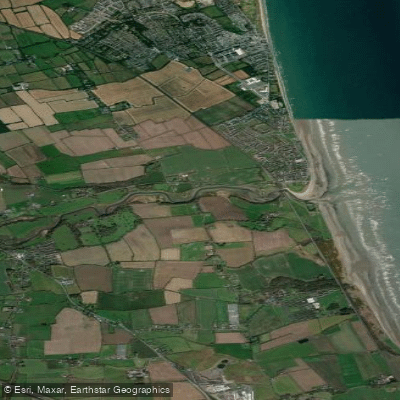
Nanny Estuary

Shannon [Upper]
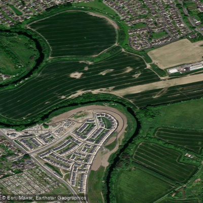
Liffey
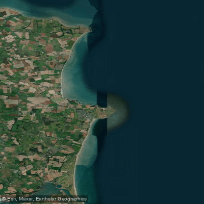
Louth Coast (HA 06)
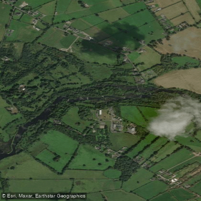
Shannon [Lower]
Explore Westmeath waters
Top paddling waters
No waters available right now.
Popular Cities
Loading popular cities...
Explore near Owel ( Lough )

Smarter Paddling Starts in the App.
Paddleways gives you everything you need to plan smarter, paddle better, and own every trip from first launch to takeout.