Keteldiep
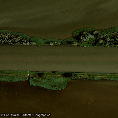
Keteldiep
- Boat Ramps
- 0
- Access Points
- 0
- Campsites
- 0
The Keteldiep is a waterway in Overijssel, Netherlands, located where the IJssel River flows into the Ketelmeer. It is characterized by a landscape of sandbanks and islands, including Keteleiland, Kattenplaat, Ketelplaat, Kamperplaat, and Ramspolplaat, which were artificially created or naturally formed during the construction of Dutch delta works. This area is focused on nature development and serves as a habitat for thousands of waterbirds. The paddling experience involves navigating through shallow waters between these landforms, requiring respect for the environment and awareness of variable water depths, which can challenge even experienced canoeists. The overall character is that of an adventurous, open-water route through a unique, engineered landscape where nature has taken hold.
Access to the Keteldiep requires a significant initial paddle. There are three primary launch points, each involving a journey of 2 to 3 kilometers before reaching the main area. These are the trailer ramp at Ramspol, located south of the Ramspolbrug with ample parking; Schokkerstrand near Schokkerhaven for access to the northern part; and Ketelhaven for a southern approach. A typical route through the Keteldiep itself covers approximately 15 kilometers, resulting in a total trip distance of 20 to 25 kilometers when including the journey to and from the launch site. The area is not a protected navigation channel, and paddlers should be prepared for exposure to the elements, though some shelter can be found behind the islands. The route is suitable for a substantial day trip, with the specific experience heavily dependent on weather conditions and water levels.
Water access, boat ramps & amenities
Learn how to get on Keteldiep. Uncover great paddling access points, boat ramps, and all the facilities you need for an unforgettable day on the water. Some locations shown may border or include private property. Always check property boundaries and applicable regulations before visiting. PaddleWays's Public & Private Land layer can help you plan your access with confidence.
Paddle smarter with real-time insights
Whether you're en route and conditions shift or you're looking for the best spot based on current flows, we enable you to make informed decisions on the fly.







Flevoland licenses and regulations
No licenses or regulations available for Flevoland.
Find Places to Paddle

Over 400,000 Places to Paddle
Every user gets free access to launch points, boat ramps, and public property parcels.


Water and weather conditions (10 day forecast)
See the best times to paddle Keteldiep and check the forecast before you go.
No forecast data available.
Paddling near Keteldiep
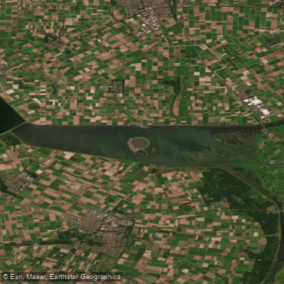
Ketelmeer
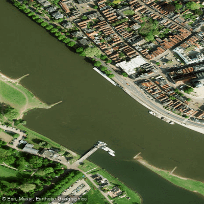
Geldersche IJssel
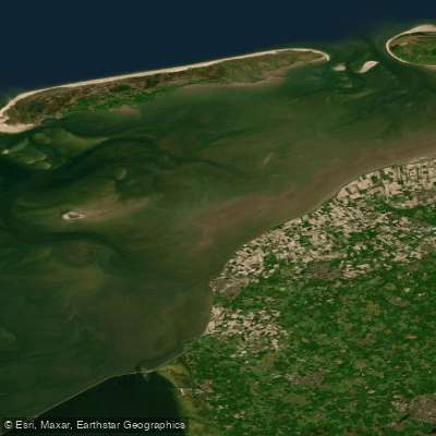
Waddenzee
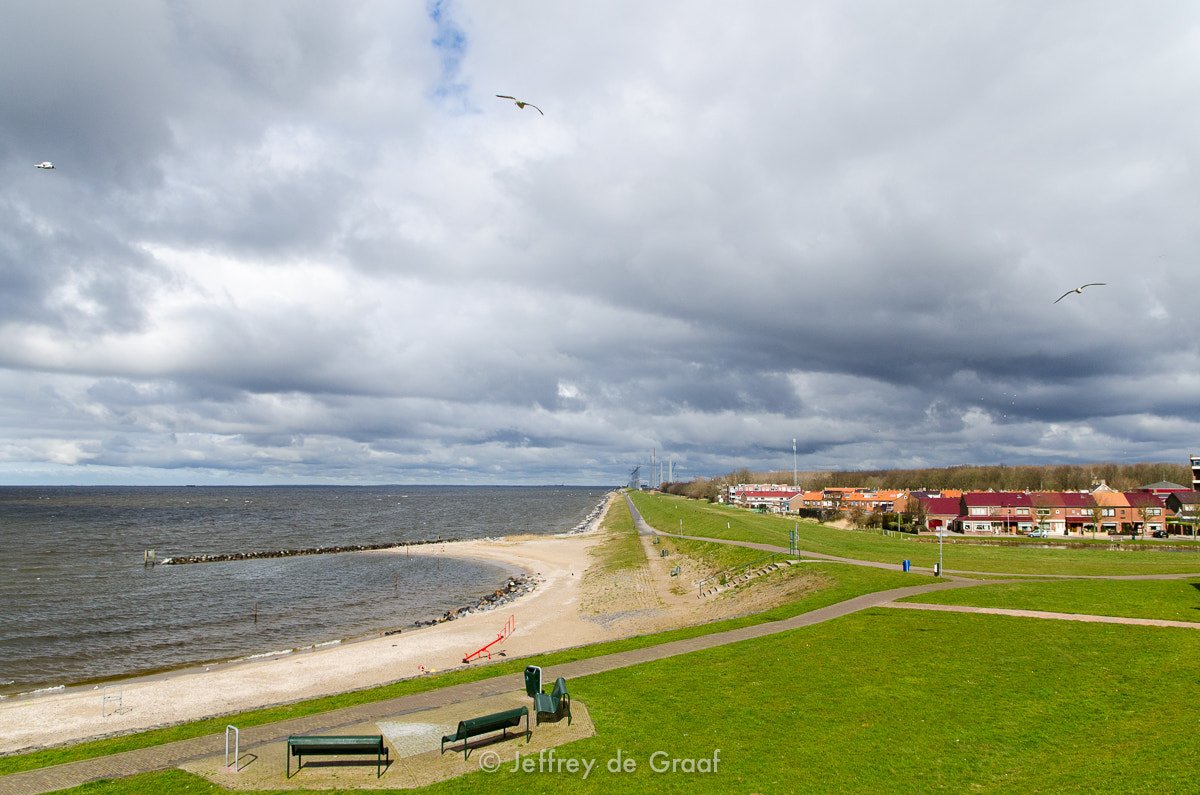
IJsselmeer
Overijsselse Vecht
Waddenzee vastelandskust
Hoogeveensche Vaart
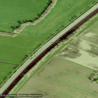
Drentsche Hoofdvaart
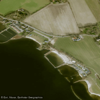
Lutjestrand.
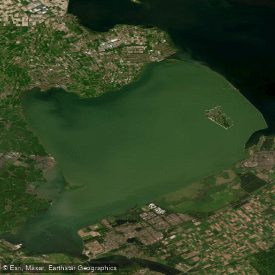
Markermeer
Explore Flevoland waters
Top paddling waters
No waters available right now.
Popular Cities
Loading popular cities...
Explore near Keteldiep

Smarter Paddling Starts in the App.
Paddleways gives you everything you need to plan smarter, paddle better, and own every trip from first launch to takeout.