Linde
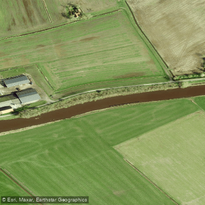
Linde
- Boat Ramps
- 0
- Access Points
- 2
- Campsites
- 0
The Linde is a river in the Netherlands with origins as a glacier river that once flowed toward the former Zuiderzee. Its official source, established during land consolidation in the 1960s, is a ditch near Tronde, though the river historically originated near Oosterwolde. The ditch at the source lies behind a weir and is heavily overgrown, making it impractical to paddle. With sufficient water levels, it is possible to reach the source ditch by kayak, though several portages are required along the way.
The river has historical significance as a transport route for willows and timber from Noordwolde. The most scenic stretch is the Lindevallei, where nature reserves line both banks and a wide variety of plants grow along the shoreline. A bicycle path runs alongside the river in this section, meaning there is no road traffic noise to interrupt the quiet. The winding stretch downstream of the Kontermansbrug is also considered particularly attractive.
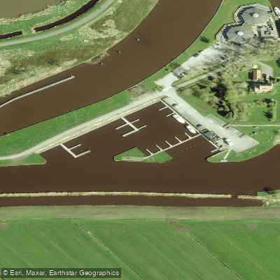
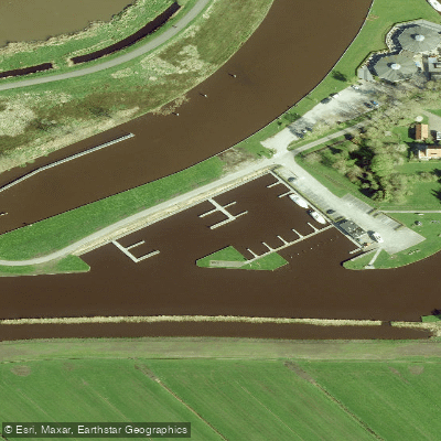
Along the route, paddlers pass several notable features. After a small marina near the N353 bridge and the railroad and highway bridges, a groundwater level meter is visible on the bank. Further along, the Kontermansbrug bridge marks the transition into the winding section. A white bridge appears in the distance beyond it, and just past that bridge there is a barrier designed to catch aquatic vegetation. A narrow passage on the left side allows kayaks to pass through. At the junction with the side canal Noordwoldervaart, there is an additional point of interest.
Kayak piers exist along the route, though access to them can become difficult in late summer. The lower section of the Linde, past Kuinre, can be paddled as a round trip of approximately 29 km. Paddling in the Netherlands is generally free on all waterways unless otherwise indicated, and no specific permit requirement applies to the Linde.
Water levels affect accessibility, particularly for reaching the upper stretches near the source. Late summer can present challenges with low water and overgrowth at the kayak piers, so paddlers planning to explore the upper river should take seasonal water levels into account when timing their trip.
Water access, boat ramps & amenities
Learn how to get on Linde. Uncover great paddling access points, boat ramps, and all the facilities you need for an unforgettable day on the water. Some locations shown may border or include private property. Always check property boundaries and applicable regulations before visiting. PaddleWays's Public & Private Land layer can help you plan your access with confidence.
Paddle smarter with real-time insights
Whether you're en route and conditions shift or you're looking for the best spot based on current flows, we enable you to make informed decisions on the fly.







Friesland licenses and regulations
No licenses or regulations available for Friesland.
Find Places to Paddle

Over 400,000 Places to Paddle
Every user gets free access to launch points, boat ramps, and public property parcels.


Water and weather conditions (10 day forecast)
See the best times to paddle Linde and check the forecast before you go.
No forecast data available.
Paddling near Linde
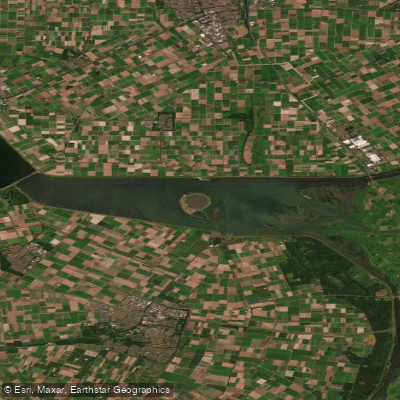
Ketelmeer
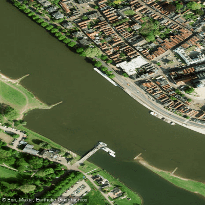
Geldersche IJssel
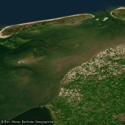
Waddenzee
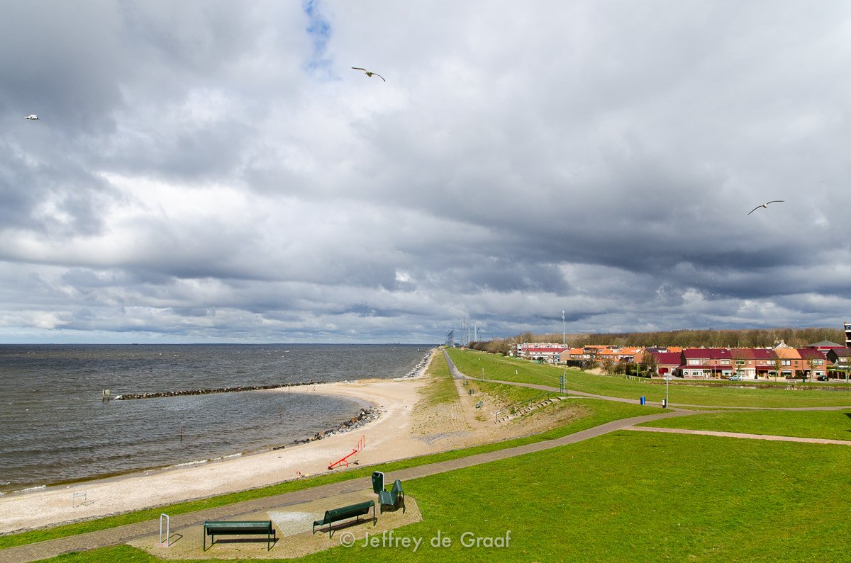
IJsselmeer
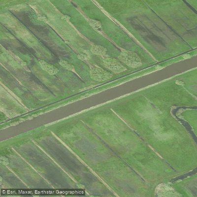
Kuinder of Tjonger
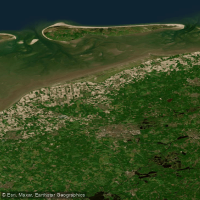
Waddenzee vastelandskust
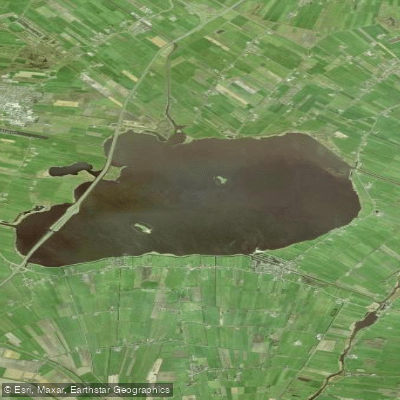
Tsjûkemar
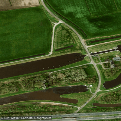
Hoogeveensche Vaart
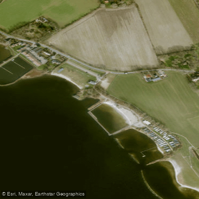
Lutjestrand.
Drentsche Hoofdvaart
Explore Friesland waters
Top paddling waters
No waters available right now.
Popular Cities
Loading popular cities...
Explore near Linde

Smarter Paddling Starts in the App.
Paddleways gives you everything you need to plan smarter, paddle better, and own every trip from first launch to takeout.