Zoommeer
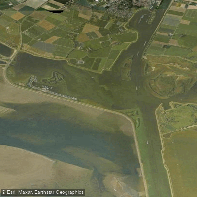
Zoommeer
- Boat Ramps
- 0
- Access Points
- 1
- Campsites
- 0
The Zoommeer is a freshwater lake situated in eastern Zeeland, lying south of Tholen and west of Bergen op Zoom. It occupies the site of the historically drowned land of Reimerswaal and covers a protected area of 1,053 hectares, designated under the Natura 2000 network.
The lake was formed through the construction of two major water management structures: the Oesterdam and the Markiezaatskade. It forms part of the Scheldt-Rhine Canal, a tide-free shipping corridor connecting the ports of Antwerp and Rotterdam, as well as routes extending into Germany. This canal is rated for vessels up to CEMT class VIb, meaning paddlers should be aware of significant commercial shipping traffic on and around the lake. On the western side, the Bergse Diepsluis connects the Zoommeer to the Oosterschelde, though this passage is rated only CEMT class 0. The Theodorushaven in Bergen op Zoom is accessible via the Burgemeester Peterssluis for vessels up to CEMT class V. The lake also connects directly to the Krammer/Volkerak via the Scheldt-Rhine Canal.
A persistent and significant water quality concern for paddlers is the recurring growth of blue-green algae (cyanobacteria), which has been problematic for years. Blue-green algae can pose serious health risks to humans and animals through skin contact or ingestion, and paddlers should check local advisories before any outing on the Zoommeer.
Given the lake's role as part of an active international shipping route, paddlers need to exercise considerable caution regarding large vessel traffic. The combination of commercial shipping, the scale of the waterway, and ongoing water quality issues makes this a technically and safety-conscious destination rather than a straightforward recreational paddle.
Water access, boat ramps & amenities
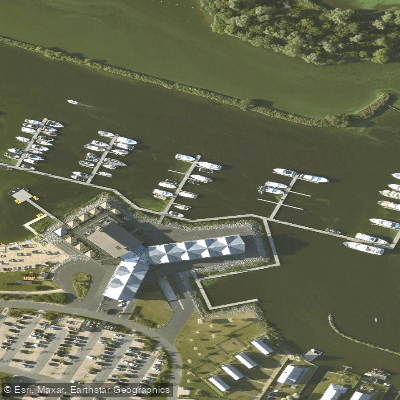
Learn how to get on Zoommeer. Uncover great paddling access points, boat ramps, and all the facilities you need for an unforgettable day on the water. Some locations shown may border or include private property. Always check property boundaries and applicable regulations before visiting. PaddleWays's Public & Private Land layer can help you plan your access with confidence.
Paddle smarter with real-time insights
Whether you're en route and conditions shift or you're looking for the best spot based on current flows, we enable you to make informed decisions on the fly.







North Brabant licenses and regulations
No licenses or regulations available for North Brabant.
Find Places to Paddle

Over 400,000 Places to Paddle
Every user gets free access to launch points, boat ramps, and public property parcels.


Water and weather conditions (10 day forecast)
See the best times to paddle Zoommeer and check the forecast before you go.
No forecast data available.
Paddling near Zoommeer
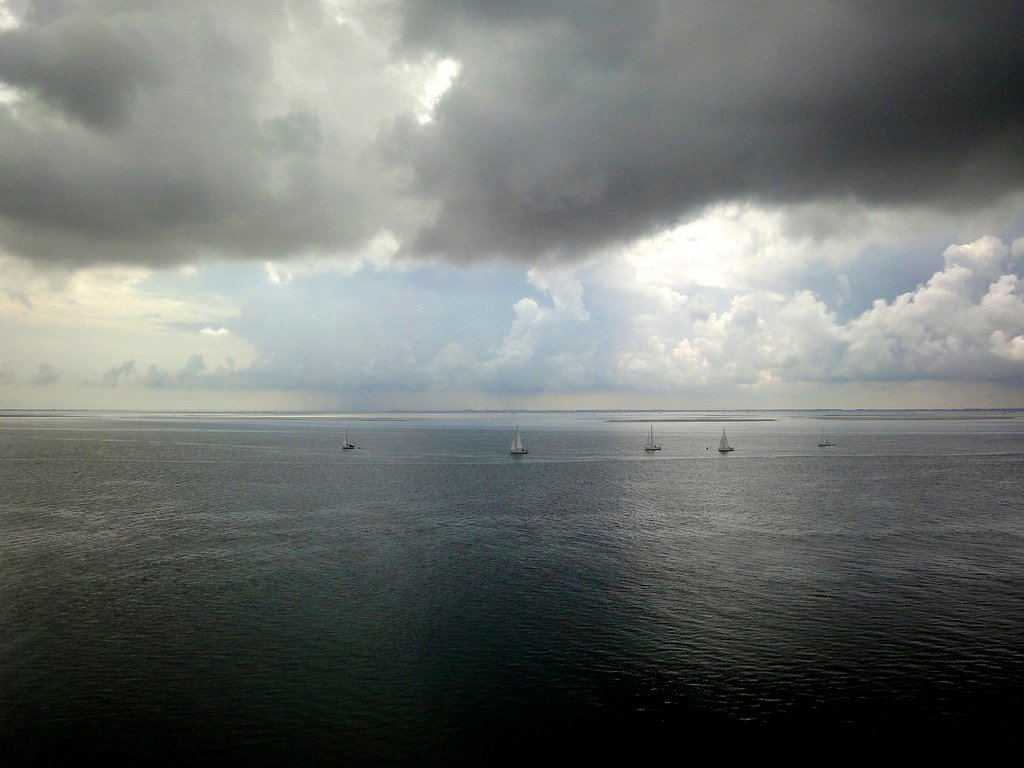
Oosterschelde
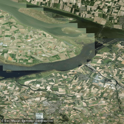
Volkerak
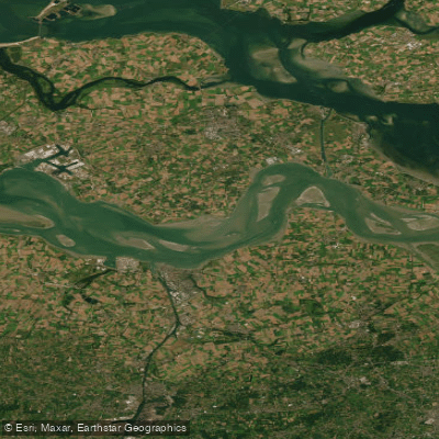
Westerschelde
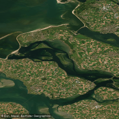
Grevelingenmeer
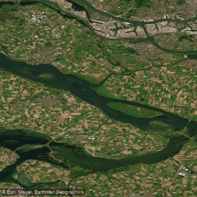
Haringvliet
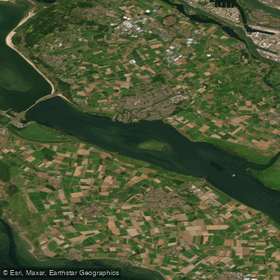
Haringvliet-west
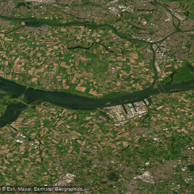
Hollandsch Diep
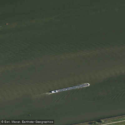
Hollandsch Diep
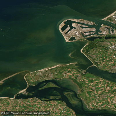
Noordelijke Deltakust (kustwater)
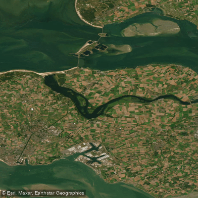
Veerse Meer
Explore North Brabant waters
Top paddling waters
No waters available right now.
Popular Cities
Loading popular cities...
Explore near Zoommeer
Access points
Nearby waters
More in North Brabant

Smarter Paddling Starts in the App.
Paddleways gives you everything you need to plan smarter, paddle better, and own every trip from first launch to takeout.