Oostelijke Schutsloot
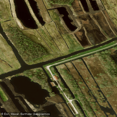
Oostelijke Schutsloot
- Boat Ramps
- 0
- Access Points
- 0
- Campsites
- 0
The Oostelijke Schutsloot is a waterway located within the De Wieden area of the Weerribben-Wieden National Park in the province of Overijssel. This region is characterized by a landscape formed by historical peat excavations, resulting in a network of twisting canals, ditches, and mysterious marshes rather than straight, linear waterways. A primary paddling route here is the designated Kanoroute Belt-Schutsloot, which is approximately 12 kilometers long and forms a loop. The recommended access point for this route is the parking area on Belterweg 12 in the village of Belt-Schutsloot, which serves as both the start and end point. The route begins by passing through the quiet, idyllic village of Belt-Schutsloot, known for its thatched-roof farmhouses and gardens colorful with flowers that border the water.
From there, the route leads paddlers through a varied environment of narrow channels largely lined with reeds. The water is calm and well-suited for beginners. The scenery is adorned with numerous water lilies, which are abundant throughout the area, particularly in the ponds. The overall atmosphere is one of quiet, natural beauty, with wildlife such as dragonflies, frogs, and waterbirds present, though they can be shy. It is possible to become disoriented in this network of waterways, so staying on the marked route is advised. The area is part of a national park, and paddling offers a way to explore a landscape that is difficult to access on foot. The route is officially marked and maintained, with a revised guidebook available describing the tour. Parking at the main access point is free.
Water access, boat ramps & amenities
Learn how to get on Oostelijke Schutsloot. Uncover great paddling access points, boat ramps, and all the facilities you need for an unforgettable day on the water. Some locations shown may border or include private property. Always check property boundaries and applicable regulations before visiting. PaddleWays's Public & Private Land layer can help you plan your access with confidence.
Paddle smarter with real-time insights
Whether you're en route and conditions shift or you're looking for the best spot based on current flows, we enable you to make informed decisions on the fly.







Overijssel licenses and regulations
No licenses or regulations available for Overijssel.
Find Places to Paddle

Over 400,000 Places to Paddle
Every user gets free access to launch points, boat ramps, and public property parcels.


Water and weather conditions (10 day forecast)
See the best times to paddle Oostelijke Schutsloot and check the forecast before you go.
No forecast data available.
Paddling near Oostelijke Schutsloot
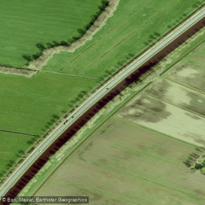
Drentsche Hoofdvaart
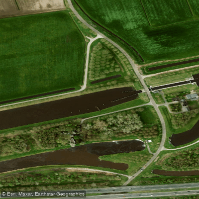
Hoogeveensche Vaart
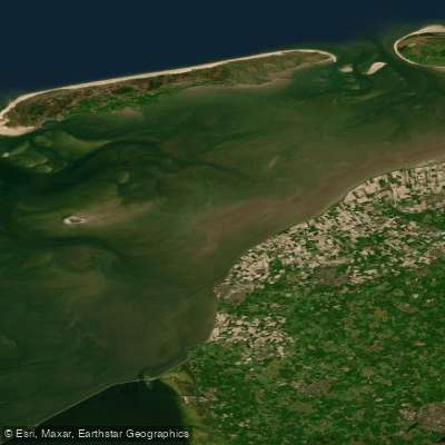
Waddenzee
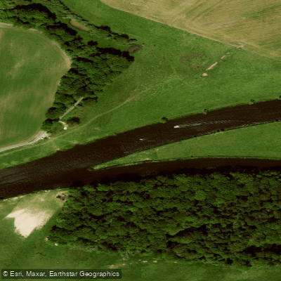
Overijsselse Vecht
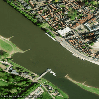
Geldersche IJssel
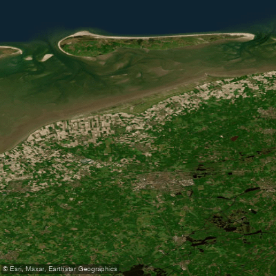
Waddenzee vastelandskust
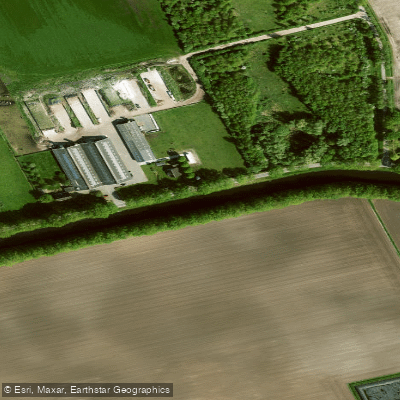
Verlengde Hoogeveensche Vaart
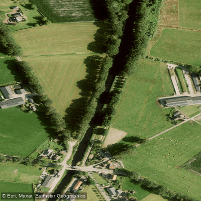
Overijssels Kanaal
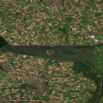
Ketelmeer
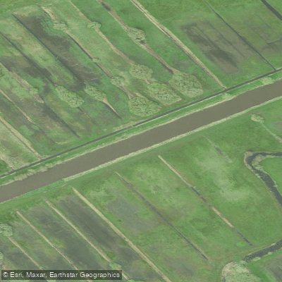
Kuinder of Tjonger
Explore Overijssel waters
Top paddling waters
No waters available right now.
Popular Cities
Loading popular cities...
Explore near Oostelijke Schutsloot

Smarter Paddling Starts in the App.
Paddleways gives you everything you need to plan smarter, paddle better, and own every trip from first launch to takeout.