Otheensche Kreek
Otheensche Kreek
- Boat Ramps
- 0
- Access Points
- 2
- Campsites
- 0
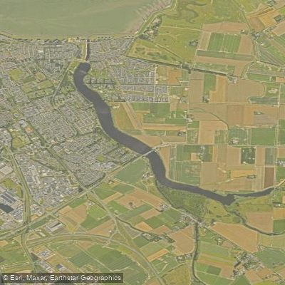
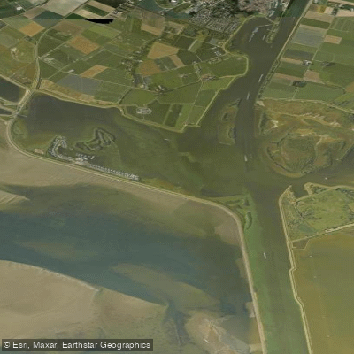
The Otheensche Kreek is a creek system located in Zeeuws-Vlaanderen, in the province of Zeeland in the southwestern Netherlands. The mouth of the creek lies on the east side of Terneuzen, and approximately one kilometer inland it divides into two tributaries: a southern branch running toward Axel and an eastern branch running south through Zaamslag. A large portion of this creek system remains navigable by water, and paddlers can travel many kilometers inland without interruption along its branching channels.
The creek's geography reflects a remarkable geological and historical story. The surrounding area of more than 1,350 hectares was reclaimed from the sea in a single operation in 1650, when the creek was dammed to create the Zaamslagpolder. Because the entire creek system was closed off at once, sediment supply from the sea was cut off simultaneously, preserving the original tidal relief almost intact. This is why so many of the creeks in the area have remained waterable to this day.
Terneuzen is noted as a base for nature canoe trails that extend up the Otheense Kreek, making it a recognized paddling destination within the broader Zeeland region. The creek is also a popular fishing spot, with Northern Pike, Common Carp, Round goby, and European perch among the species recorded there. Anglers fish from both the bank and from paddle boards, so paddlers should expect to share the water with fishing activity.
The creek has been highlighted as a particularly worthwhile destination at sunset, when the sky over the water takes on shades of orange, pink, and red. The Geopark Schelde Delta includes the Otheense Kreek among its geosites, accessible via the Kraagdijk in Terneuzen, reflecting its significance as a landscape of preserved tidal creek morphology within the delta region. Nearby comparable waterways in Zeeland include the Axelse Kreek, Molenkreek, and Berriekreek, which may be of interest to paddlers looking to extend their time in the area.
Water access, boat ramps & amenities
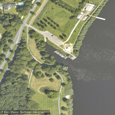
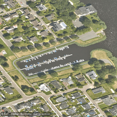
Learn how to get on Otheensche Kreek. Uncover great paddling access points, boat ramps, and all the facilities you need for an unforgettable day on the water. Some locations shown may border or include private property. Always check property boundaries and applicable regulations before visiting. PaddleWays's Public & Private Land layer can help you plan your access with confidence.
Paddle smarter with real-time insights
Whether you're en route and conditions shift or you're looking for the best spot based on current flows, we enable you to make informed decisions on the fly.







Zeeland licenses and regulations
No licenses or regulations available for Zeeland.
Find Places to Paddle

Over 400,000 Places to Paddle
Every user gets free access to launch points, boat ramps, and public property parcels.


Water and weather conditions (10 day forecast)
See the best times to paddle Otheensche Kreek and check the forecast before you go.
No forecast data available.
Paddling near Otheensche Kreek
Oosterschelde
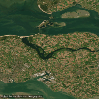
Veerse Meer
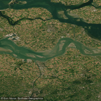
Westerschelde
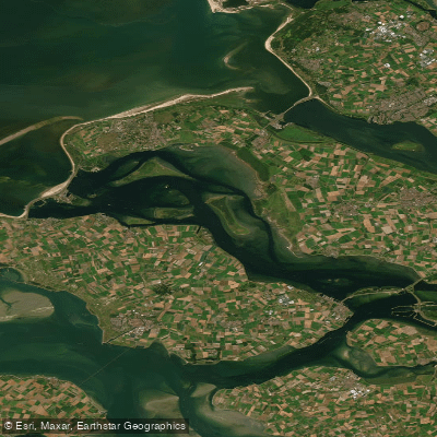
Grevelingenmeer
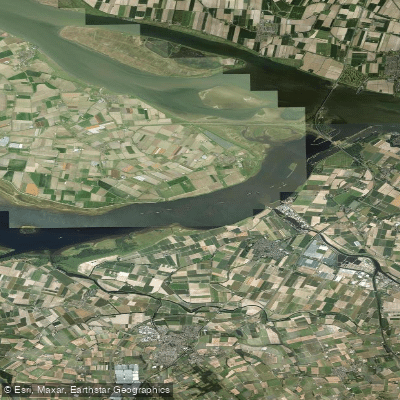
Volkerak
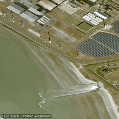
Kaloot
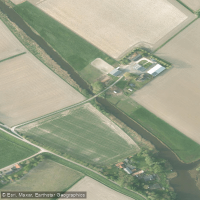
Voorste Kreek
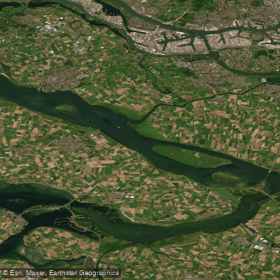
Haringvliet
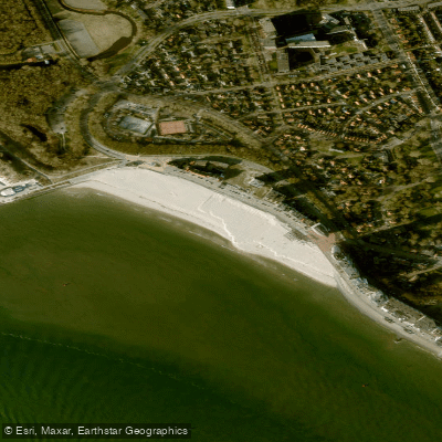
Badstrand
Zoommeer
Explore Zeeland waters
Top paddling waters
No waters available right now.
Popular Cities
Loading popular cities...
Explore near Otheensche Kreek
Access points
Nearby waters
More in Zeeland

Smarter Paddling Starts in the App.
Paddleways gives you everything you need to plan smarter, paddle better, and own every trip from first launch to takeout.