Hōteo River
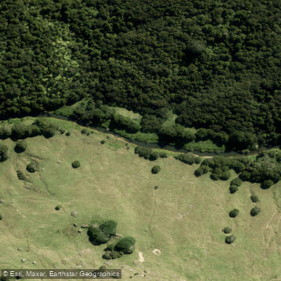
Hōteo River
- Boat Ramps
- 0
- Access Points
- 0
- Campsites
- 0
The Hōteo River flows southwest through the Wayby Valley in the Auckland Region of New Zealand, forming at the confluence of the Whangaripo and Waiteitei streams before emptying into the southern lobe of the Kaipara Harbour near the town of Glorit. Including the Waiteitei Stream, the system extends approximately 68 km in total length, with an average gradient of around 0.7 m/km including the tidal section.
The lower reaches of the river are tidal, and paddling conditions in this section are strongly influenced by tidal cycles. A common put-in is at the Mangakura Boat Club, located near where State Highway 16 crosses the river close to Mangakura. From this point, paddlers typically head upstream on the incoming tide, covering around 6 km one way before turning back as the tide reverses. Timing a departure to coincide with an incoming tide — often mid-morning — allows paddlers to ride the tide up and return with the outgoing flow. The lower tidal section is calm with no rapids, making it accessible to novice paddlers.
Two features mark the upper limit of tidal navigation: the Tarakihi Rapids and the Paraua Rapids, located approximately 7.6 km above the bridge near Mangakura. These rapids exist only at low tide and effectively block upstream motor boat navigation at that point. Willow trunks remaining from a past clearing programme may present obstacles at higher flow levels below the Hoteo confluence.
The riparian landscape along the lower river includes Kowhai trees, small baches (holiday cottages), and farmland with willows and farm drains in the upper catchment. The upper catchment is described as hilly with scrub in the gullies and isolated patches of bush. The lower reaches are popular with whitebaiters and recreational fishermen, so paddlers should expect to share the water with anglers. The river also hosts an annual raft race.
The area is roughly 55 to 80 minutes north of Auckland via State Highway 16, or about 20 to 25 minutes south of Wellsford, making it a practical day trip from the city. At least one commercial outfitter, Wild West Kayaking, operates guided and self-guided canoe and kayak trips from the Mangakura Boat Club.
Water access, boat ramps & amenities
Learn how to get on Hōteo River. Uncover great paddling access points, boat ramps, and all the facilities you need for an unforgettable day on the water. Some locations shown may border or include private property. Always check property boundaries and applicable regulations before visiting. PaddleWays's Public & Private Land layer can help you plan your access with confidence.
Paddle smarter with real-time insights
Whether you're en route and conditions shift or you're looking for the best spot based on current flows, we enable you to make informed decisions on the fly.







Auckland licenses and regulations
No licenses or regulations available for Auckland.
Find Places to Paddle

Over 400,000 Places to Paddle
Every user gets free access to launch points, boat ramps, and public property parcels.


Water and weather conditions (10 day forecast)
See the best times to paddle Hōteo River and check the forecast before you go.
No forecast data available.
Paddling near Hōteo River
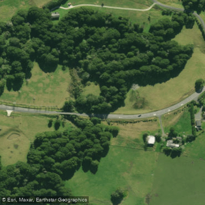
Hakaru River
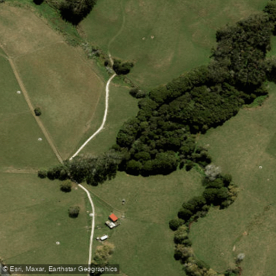
Waiteitei Stream
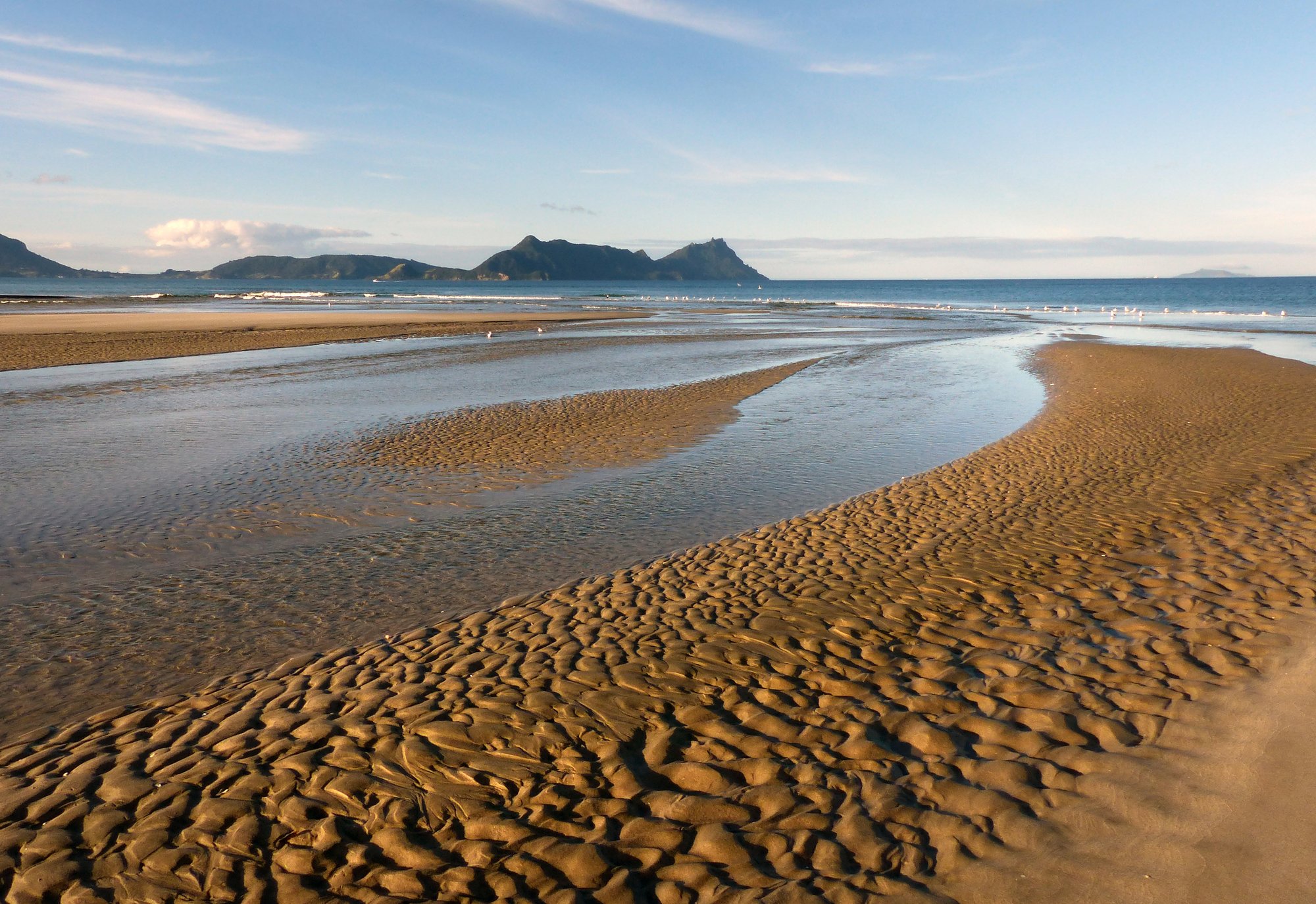
Bream Bay
Arapaoa River
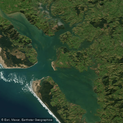
Kaipara Harbour
Wairoa River
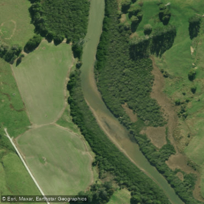
Kaiwaka River
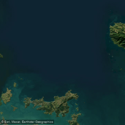
Hauraki Gulf / Tīkapa Moana
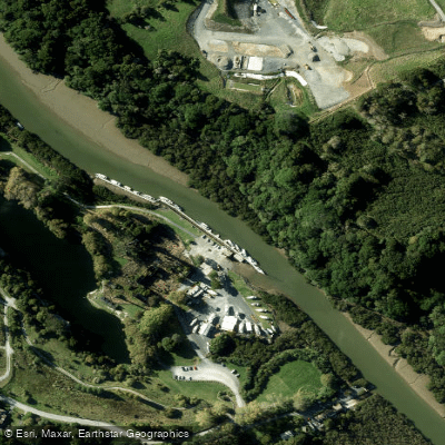
Mahurangi River
Explore Auckland waters
Top paddling waters
No waters available right now.
Popular Cities
Loading popular cities...
Explore near Hōteo River

Smarter Paddling Starts in the App.
Paddleways gives you everything you need to plan smarter, paddle better, and own every trip from first launch to takeout.