Bream Bay
- Saltwater
- Bay
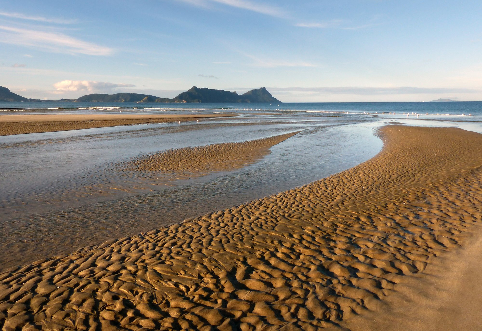
Bream Bay
- Saltwater
- Bay
- Sq. miles
- 84
- Boat Ramps
- 0
- Access Points
- 0
- Campsites
- 0
Bream Bay is a 22-kilometer coastal bay on Northland's east coast, stretching from Marsden Point in the north to Bream Tail near Langs Beach in the south. It faces the Pacific Ocean, offering a long, sweeping sandy coastline with a generally open easterly aspect, which can generate significant wind fetch and swell. The bay's waters are pristine, with turquoise and teal colors, and views extend to offshore islands like the Hen and Chickens. For paddlers, the primary access points and sheltered paddling environments are found within its estuaries. The Ruakaka Estuary, accessible from locations like Princes Street, provides a calm, mangrove-lined route suitable for kayaking and stand-up paddleboarding, with a recommended route paddling upriver to the bridge at Bream Bay College, an 8-kilometer return trip taking about 1.5 hours. The Pataua Estuary, accessed from Pataua South, is another tidal waterway suitable for launching kayaks. Paddling in these estuaries is heavily influenced by the tide. The Ruakaka River mouth is hazardous to cross on foot and should only be attempted at low tide; for paddlers, a high tide provides fuller, clearer water for exploring. A local guide recommends low tide for ecotours focused on shorebirds, but any tide is suitable. The broader, open waters of Bream Bay itself are exposed to ocean conditions and are popular with powerboats and fishing vessels, with significant marine traffic from the Marsden Cove Marina, which has 24-hour boat ramp access. Paddlers should be cautious of boat traffic, especially around the marina and harbor channels. The area enjoys a subtropical climate with warm summers and mild winters, making it suitable for year-round paddling, though summer months see lifeguard patrols on some beaches like Ruakaka. Wildlife includes kingfishers, oyster catchers, and various migratory shorebirds, particularly within the Ruakaka Estuary wildlife sanctuary, where paddlers should avoid disturbing fenced nesting areas. Facilities are limited directly at launch points, but the nearby towns of Ruakaka and Waipu offer services, and kayak rentals are available locally.
Water access, boat ramps & amenities
Learn how to get on Bream Bay. Uncover great paddling access points, boat ramps, and all the facilities you need for an unforgettable day on the water. Some locations shown may border or include private property. Always check property boundaries and applicable regulations before visiting. PaddleWays's Public & Private Land layer can help you plan your access with confidence.
Paddle smarter with real-time insights
Whether you're en route and conditions shift or you're looking for the best spot based on current flows, we enable you to make informed decisions on the fly.







Northland licenses and regulations
No licenses or regulations available for Northland.
Find Places to Paddle

Over 400,000 Places to Paddle
Every user gets free access to launch points, boat ramps, and public property parcels.


Tides, wind & water conditions (10 day forecast)
On open water, wind and tide matter as much as the weather. See the best times to paddle Bream Bay and check the marine forecast before you launch.
Loading tide predictions…
Paddling near Bream Bay
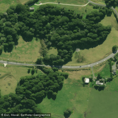
Hakaru River
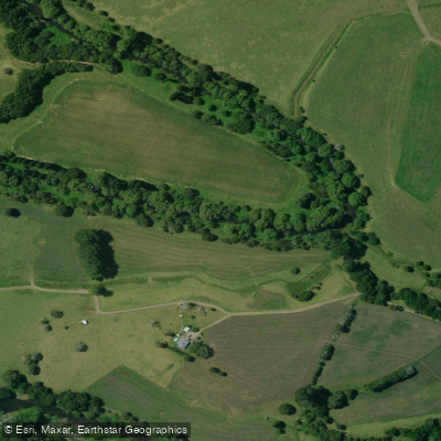
Mangakahia River
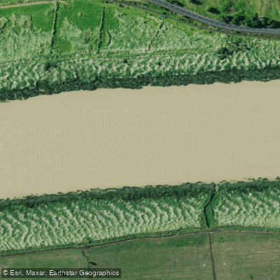
Wairoa River
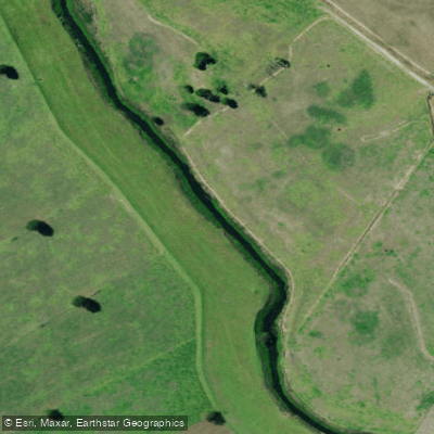
Kaihu River
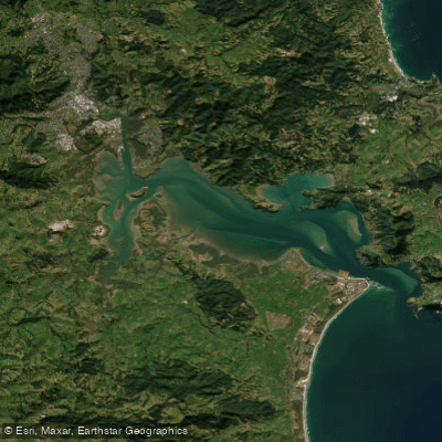
Whangārei Harbour
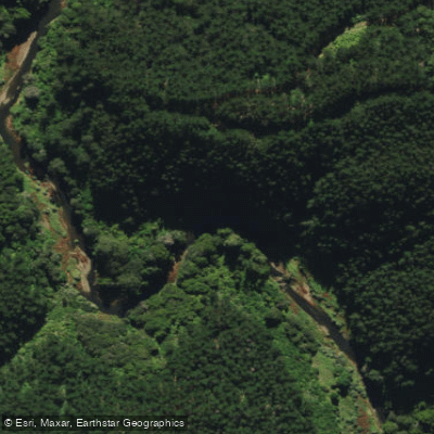
Ngunguru River
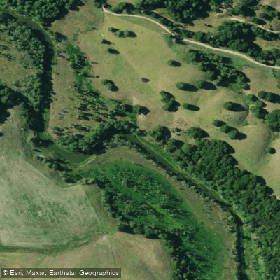
Manganui River
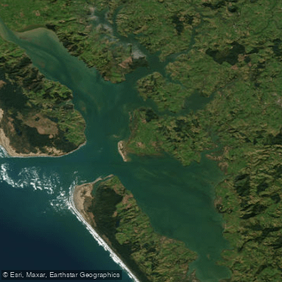
Kaipara Harbour
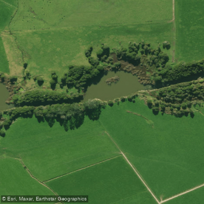
Wairua River
Explore Northland waters
Top paddling waters
No waters available right now.
Popular Cities
Loading popular cities...
Explore near Bream Bay

Smarter Paddling Starts in the App.
Paddleways gives you everything you need to plan smarter, paddle better, and own every trip from first launch to takeout.