Mahurangi River
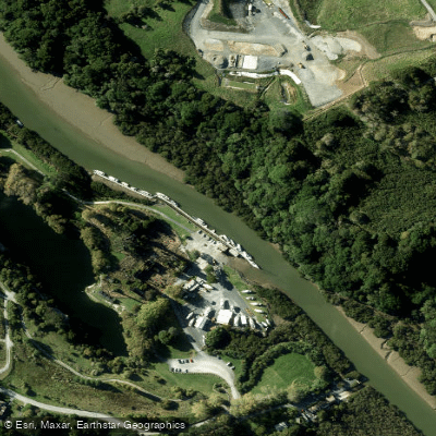
Mahurangi River
- Boat Ramps
- 0
- Access Points
- 0
- Campsites
- 0
The Mahurangi River flows through the town of Warkworth in the Auckland Region of northern New Zealand, running approximately 15 kilometres from Warkworth down to Mahurangi Harbour, which opens into the outer Hauraki Gulf. The lower portion of the river is a tidal estuary, with depths ranging from around 50 centimetres at the channel entrance to approximately 150 centimetres further upstream. At low tide, the river near Warkworth can almost completely dry out, making tidal timing critical for planning any paddle up to the town.
Sullivan's Bay in Mahurangi Regional Park is a primary launch point, offering access both into the harbour and up the river toward Warkworth. Scotts Landing, on the north side of the harbour, provides another access point with a boat ramp. The Warkworth town basin features a wharf with a floating pontoon structure, giving paddlers a destination with direct access to cafes, restaurants, and shops along the Riverbank Walkway.
The river and harbour sit within Mahurangi Regional Park, which encompasses numerous small bays, beaches, and islands. Paddlers should stay clear of the main channels, as this is an active boating area with commercial and recreational vessel traffic. Two boatyards operate on the river, one near the old cement works ruins and another closer to Warkworth.
From Sullivan's Bay, paddlers can head out to Big Bay, which has no vehicle access and is typically uncrowded, or turn south toward Te Muri Beach, also within the park and road-inaccessible. Lagoon Bay offers an opportunity to paddle into a shallow tidal lagoon at high tide, though careful navigation is required to avoid grounding. The harbour also provides a base for more experienced paddlers to venture into Kawau Bay and reach destinations such as Motuora Island.
Winter days with calm conditions and clear skies are noted as particularly good for paddling the harbour, with low sun creating distinctive light on the water. A 3-day guided kayak expedition operating in summer months (January through March) covers the broader coastal area, including sea caves, rock gardens, and historic shipwrecks. The river itself carries significant historical weight as the original transport link for the Warkworth settlement, with ruins of an 1884 portland cement works still visible on the riverbank near the marina.
Water access, boat ramps & amenities
Learn how to get on Mahurangi River. Uncover great paddling access points, boat ramps, and all the facilities you need for an unforgettable day on the water. Some locations shown may border or include private property. Always check property boundaries and applicable regulations before visiting. PaddleWays's Public & Private Land layer can help you plan your access with confidence.
Paddle smarter with real-time insights
Whether you're en route and conditions shift or you're looking for the best spot based on current flows, we enable you to make informed decisions on the fly.







Auckland licenses and regulations
No licenses or regulations available for Auckland.
Find Places to Paddle

Over 400,000 Places to Paddle
Every user gets free access to launch points, boat ramps, and public property parcels.


Water and weather conditions (10 day forecast)
See the best times to paddle Mahurangi River and check the forecast before you go.
No forecast data available.
Paddling near Mahurangi River
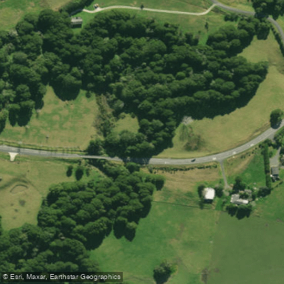
Hakaru River
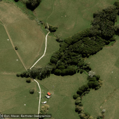
Waiteitei Stream
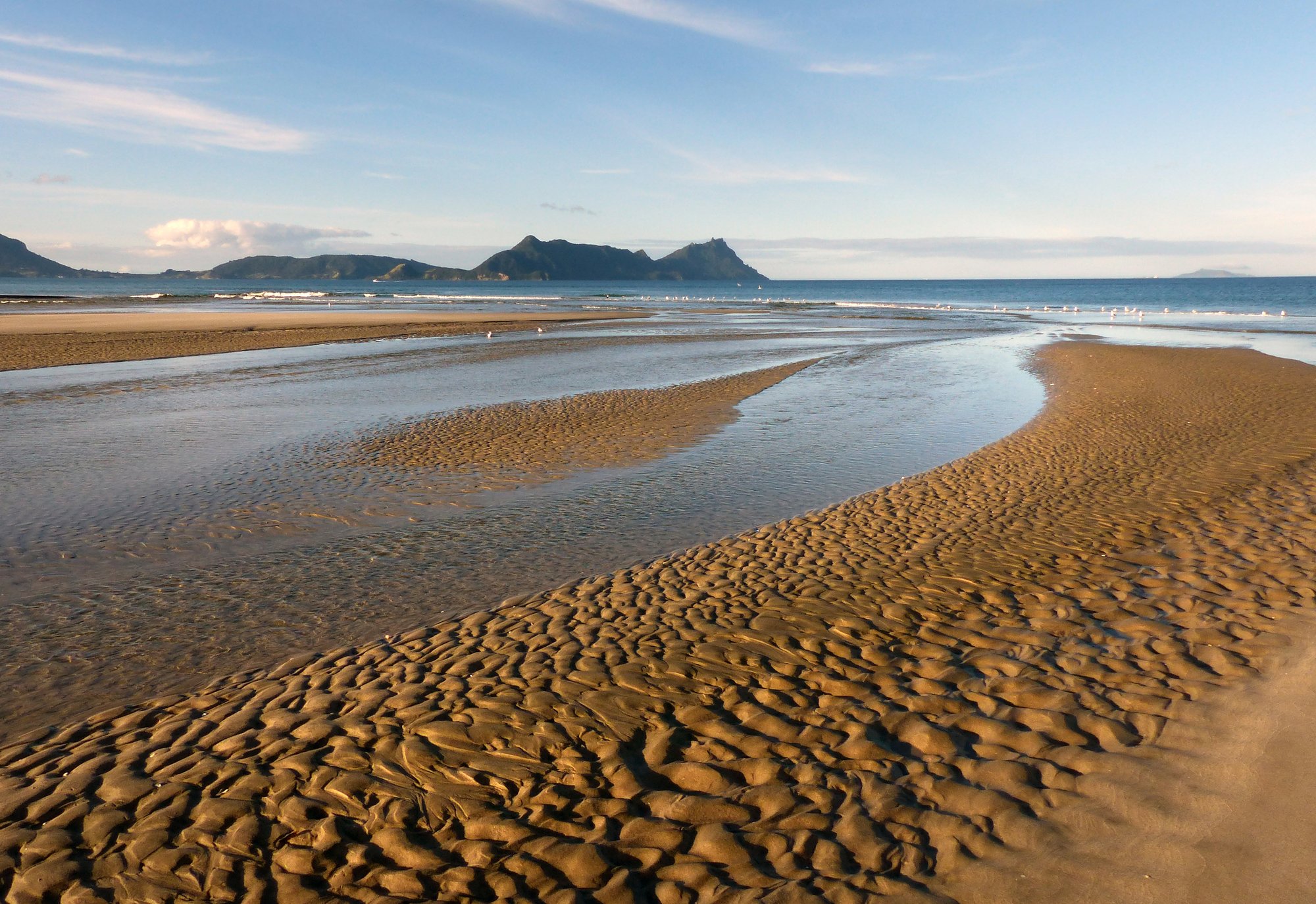
Bream Bay
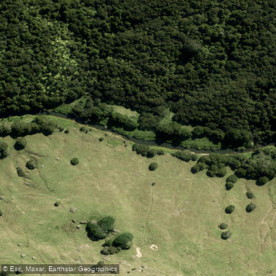
Hōteo River
Arapaoa River
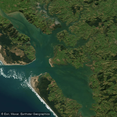
Kaipara Harbour
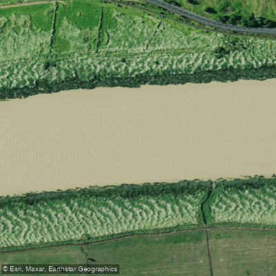
Wairoa River
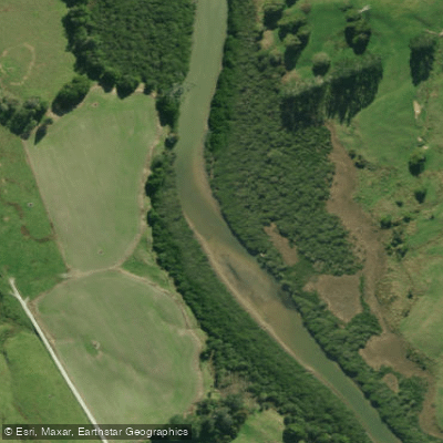
Kaiwaka River
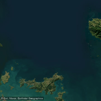
Hauraki Gulf / Tīkapa Moana
Explore Auckland waters
Top paddling waters
No waters available right now.
Popular Cities
Loading popular cities...
Explore near Mahurangi River

Smarter Paddling Starts in the App.
Paddleways gives you everything you need to plan smarter, paddle better, and own every trip from first launch to takeout.