Waiteitei Stream
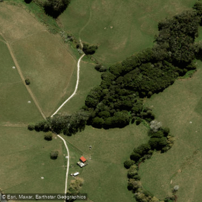
Waiteitei Stream
- Boat Ramps
- 0
- Access Points
- 0
- Campsites
- 0
The Waiteitei Stream is a 16-kilometre waterway located in the Northland/Auckland region of New Zealand, forming part of the broader Hoteo River system that drains into Kaipara Harbour. The stream flows through hilly farmland terrain, with willows lining much of the upper catchment and numerous farm drains feeding into it — a character similar to the neighbouring Hakaru River area. The lower tidal section near Mount Auckland contrasts with the upper reaches, featuring deep green bush and kowhai trees that add colour when in flower.
The stream is technically canoeable from the Waiteitei area, but significant practical obstacles limit its appeal for paddlers. Log jams are a persistent and serious hazard, particularly below the Main Road Bridge, where numerous snags also present difficulties. Above the Main Road, the current is sluggish and log jams are severe, meaning paddling is seldom undertaken in that section. Below the Main Road, there are easy rapids near the railway tunnel graded at approximately Grade I+. The Tarakihi and Paraua Rapids exist only at low tide, which is an important tidal consideration for anyone planning a trip on the lower reaches.
The overall recreational value of the Waiteitei Stream for paddling is rated as insignificant. The combination of a slight current, frequent log jams, and snags makes it an unattractive option compared to other waterways in the region. Jet boats can navigate beyond the Tarakihi and Paraua rapids on a high tide but are stopped by logs and snags approximately 10 kilometres above those rapids, giving some indication of the density of woody debris in the channel.
The stream does see a degree of use given its proximity to Auckland City. The upper catchment is predominantly agricultural, with patches of isolated bush in the gullies below the Main Road. Water in the stream is noted as discoloured. Paddlers considering this waterway should be aware that tidal conditions significantly affect navigability on the lower reaches, and that log jams throughout the system present ongoing safety concerns regardless of water level.
Water access, boat ramps & amenities
Learn how to get on Waiteitei Stream. Uncover great paddling access points, boat ramps, and all the facilities you need for an unforgettable day on the water. Some locations shown may border or include private property. Always check property boundaries and applicable regulations before visiting. PaddleWays's Public & Private Land layer can help you plan your access with confidence.
Paddle smarter with real-time insights
Whether you're en route and conditions shift or you're looking for the best spot based on current flows, we enable you to make informed decisions on the fly.







Auckland licenses and regulations
No licenses or regulations available for Auckland.
Find Places to Paddle

Over 400,000 Places to Paddle
Every user gets free access to launch points, boat ramps, and public property parcels.


Water and weather conditions (10 day forecast)
See the best times to paddle Waiteitei Stream and check the forecast before you go.
No forecast data available.
Paddling near Waiteitei Stream
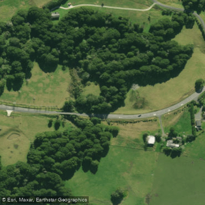
Hakaru River
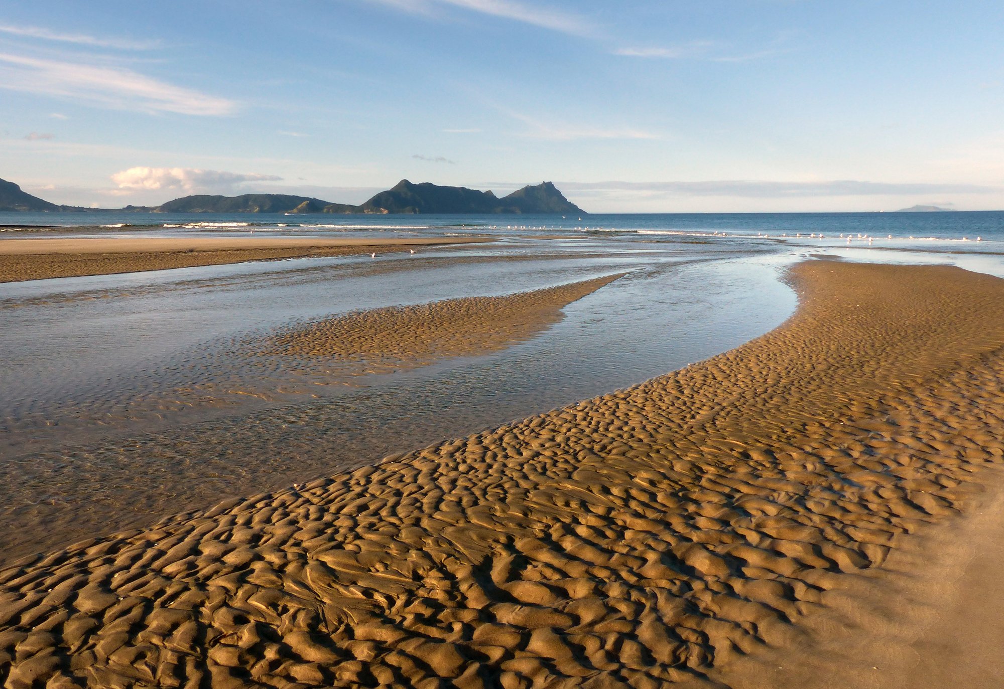
Bream Bay
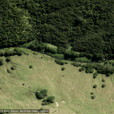
Hōteo River
Arapaoa River
Kaipara Harbour
Wairoa River
Kaiwaka River
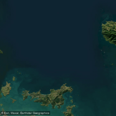
Hauraki Gulf / Tīkapa Moana
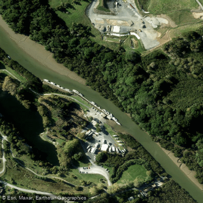
Mahurangi River
Explore Auckland waters
Top paddling waters
No waters available right now.
Popular Cities
Loading popular cities...
Explore near Waiteitei Stream

Smarter Paddling Starts in the App.
Paddleways gives you everything you need to plan smarter, paddle better, and own every trip from first launch to takeout.