Hakaru River
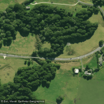
Hakaru River
- Boat Ramps
- 0
- Access Points
- 0
- Campsites
- 0
The Hakaru River flows south through the township of Hakaru, joining the Topuni River and then the Oruawharo River, both of which are tidal arms of the Kaipara Harbour. The river runs approximately 30 kilometres in total length (including the Topuni River), with an average gradient of 1:471, or roughly 2.1 metres per kilometre, making it an essentially flat waterway.
The river is canoeable from the Hakaru Bridge, where paddlers can put in and travel downstream through meandering hill country. The gradient is minimal and there are few rapids, rating the river at Grade 1. The lower section near the Main Road becomes tidal, and the Topuni River is navigable by small power craft and jet boats to a point just beyond the Main Road. Willows line the river for most of its length, and many have fallen into the stream, creating obstructions that paddlers will need to navigate around. This is the primary hazard on the river.
The surrounding landscape is predominantly farmland with patches of scrub and gorse on the hillsides and in the gullies. In the lower reaches near the Main Road, the character of the river changes as it becomes tidal, with mangroves growing on the muddy banks. There is some local use of the river for swimming around the Hakaru area.
Drift boats and rafts are not used on the river. The overall recreational and scenic value of the Hakaru River has been assessed as uninspiring and insignificant, reflecting its character as a slow, willow-lined agricultural waterway rather than a destination paddling river. Paddlers seeking technical challenge or notable scenery are unlikely to find it here, but the flat Grade 1 water may suit beginners or those looking for a low-key outing in a rural setting.
Water access, boat ramps & amenities
Learn how to get on Hakaru River. Uncover great paddling access points, boat ramps, and all the facilities you need for an unforgettable day on the water. Some locations shown may border or include private property. Always check property boundaries and applicable regulations before visiting. PaddleWays's Public & Private Land layer can help you plan your access with confidence.
Paddle smarter with real-time insights
Whether you're en route and conditions shift or you're looking for the best spot based on current flows, we enable you to make informed decisions on the fly.







Northland licenses and regulations
No licenses or regulations available for Northland.
Find Places to Paddle

Over 400,000 Places to Paddle
Every user gets free access to launch points, boat ramps, and public property parcels.


Water and weather conditions (10 day forecast)
See the best times to paddle Hakaru River and check the forecast before you go.
Hakaru at Topuni Creek Farm
Paddling near Hakaru River
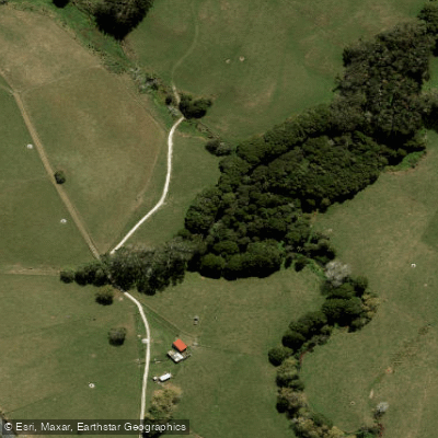
Waiteitei Stream
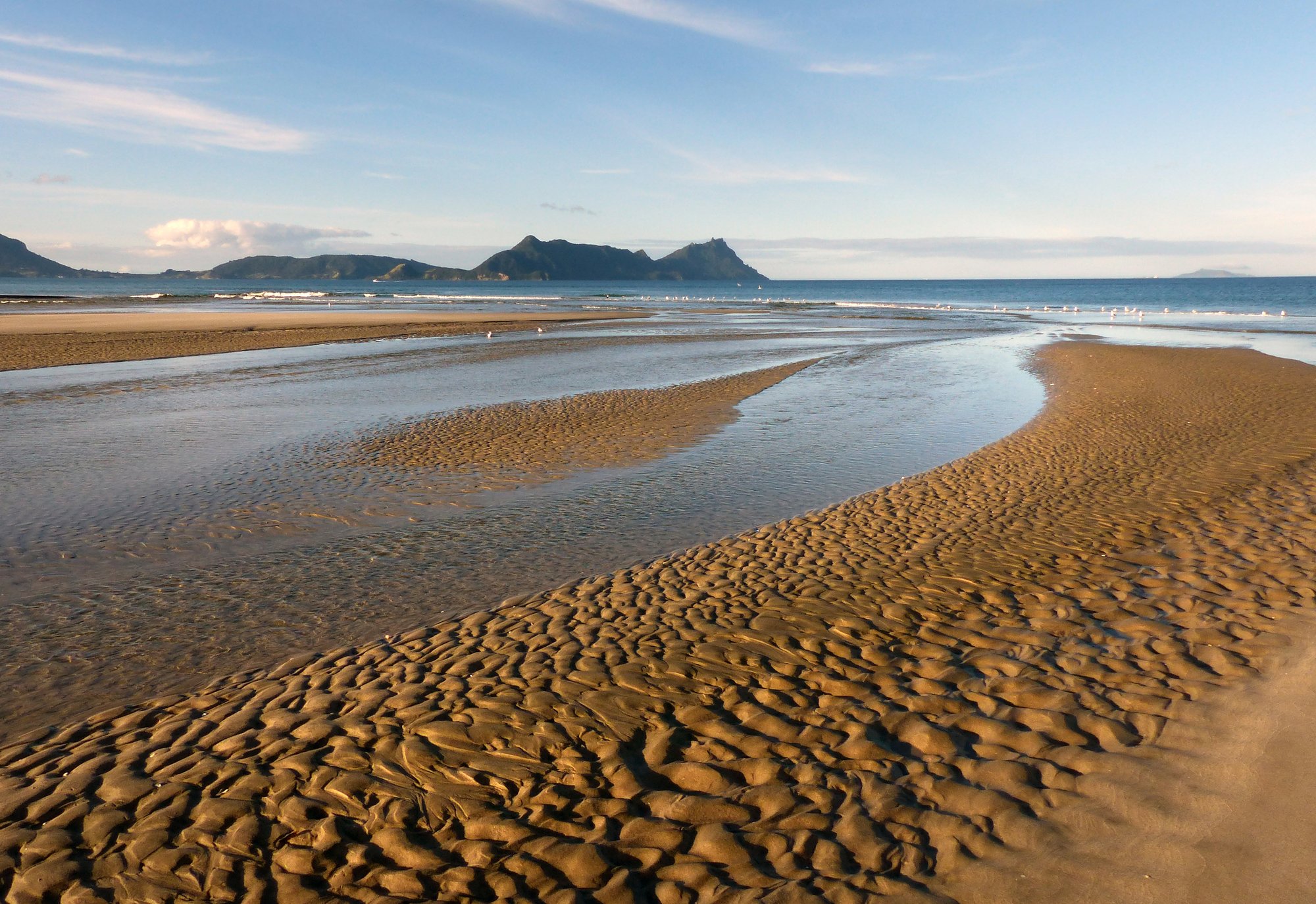
Bream Bay
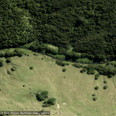
Hōteo River
Arapaoa River
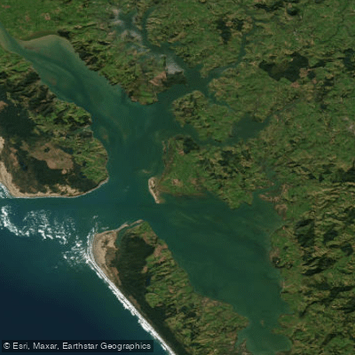
Kaipara Harbour
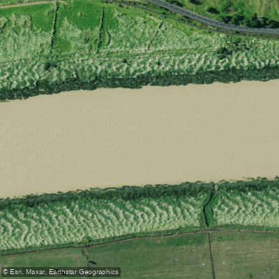
Wairoa River
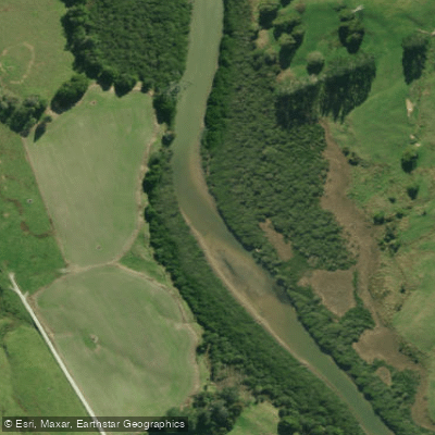
Kaiwaka River
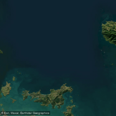
Hauraki Gulf / Tīkapa Moana
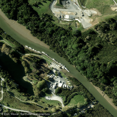
Mahurangi River
Explore Northland waters
Top paddling waters
No waters available right now.
Popular Cities
Loading popular cities...
Explore near Hakaru River

Smarter Paddling Starts in the App.
Paddleways gives you everything you need to plan smarter, paddle better, and own every trip from first launch to takeout.