Kaipara Harbour
- Saltwater
- Harbor
Kaipara Harbour
- Saltwater
- Harbor
- Sq. miles
- 280
- Boat Ramps
- 0
- Access Points
- 0
- Campsites
- 5
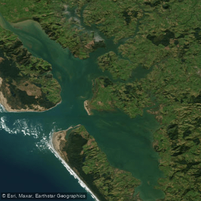
Kaipara Harbour is a vast, shallow estuary complex on the north-western coast of New Zealand's North Island. It is one of the largest harbours in the world, covering 947 square kilometres at high tide, with 409 square kilometres of mudflats and sandbanks exposed at low tide. This extreme tidal range is the dominant feature for paddlers, creating a landscape that transforms dramatically between high and low water. The harbour is a broad, multi-armed system fed by numerous rivers, including the Wairoa and Kaipara Rivers, and opens to the Tasman Sea. Its entrance is guarded by a notoriously dangerous and continually shifting sandbar known as "The Graveyard," which should only be attempted by experienced paddlers with detailed local knowledge and on extremely calm days. Within the harbour, the environment is characterized by rolling hills, picturesque townships, and a maze of tranquil waterways, though it can become tumultuous in windy conditions. The expansive, open water means wind fetch can be significant, and paddlers must be prepared for strong tidal currents, planning trips carefully to work with the tide stages. Access points are numerous around the shoreline, with settlements like Helensville in the south and Dargaville in the north serving as key gateways. Recent infrastructure upgrades, such as a new boat ramp with parking and toilets at an unspecified location, indicate improving facilities for recreational users. The area is rich in Māori and European settler history, particularly related to shipbuilding and kauri forestry. Wildlife includes bird life on the estuaries, and the return of scallop populations has been noted. The harbour offers a sense of remote solitude, especially in the upper reaches around Pahi and Pouto, which feel more like estuary exploring than coastal paddling.
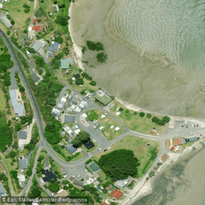
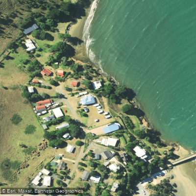
Water access, boat ramps & amenities
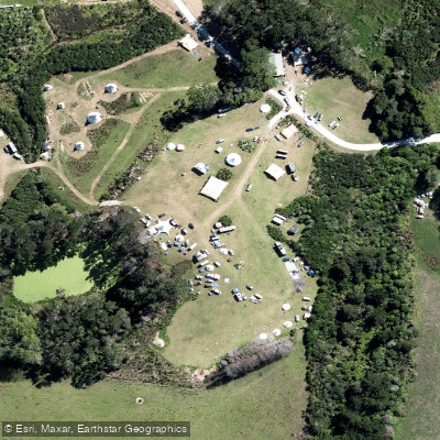
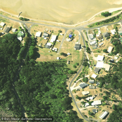
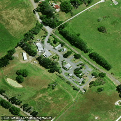
Learn how to get on Kaipara Harbour. Uncover great paddling access points, boat ramps, and all the facilities you need for an unforgettable day on the water. Some locations shown may border or include private property. Always check property boundaries and applicable regulations before visiting. PaddleWays's Public & Private Land layer can help you plan your access with confidence.
Paddle smarter with real-time insights
Whether you're en route and conditions shift or you're looking for the best spot based on current flows, we enable you to make informed decisions on the fly.







Northland licenses and regulations
No licenses or regulations available for Northland.
Find Places to Paddle

Over 400,000 Places to Paddle
Every user gets free access to launch points, boat ramps, and public property parcels.


Tides, wind & water conditions (10 day forecast)
On open water, wind and tide matter as much as the weather. See the best times to paddle Kaipara Harbour and check the marine forecast before you launch.
Loading tide predictions…
Paddling near Kaipara Harbour
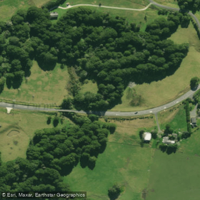
Hakaru River
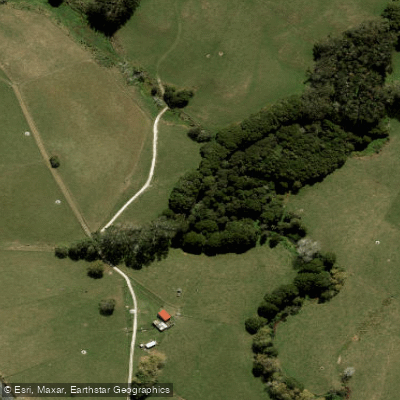
Waiteitei Stream
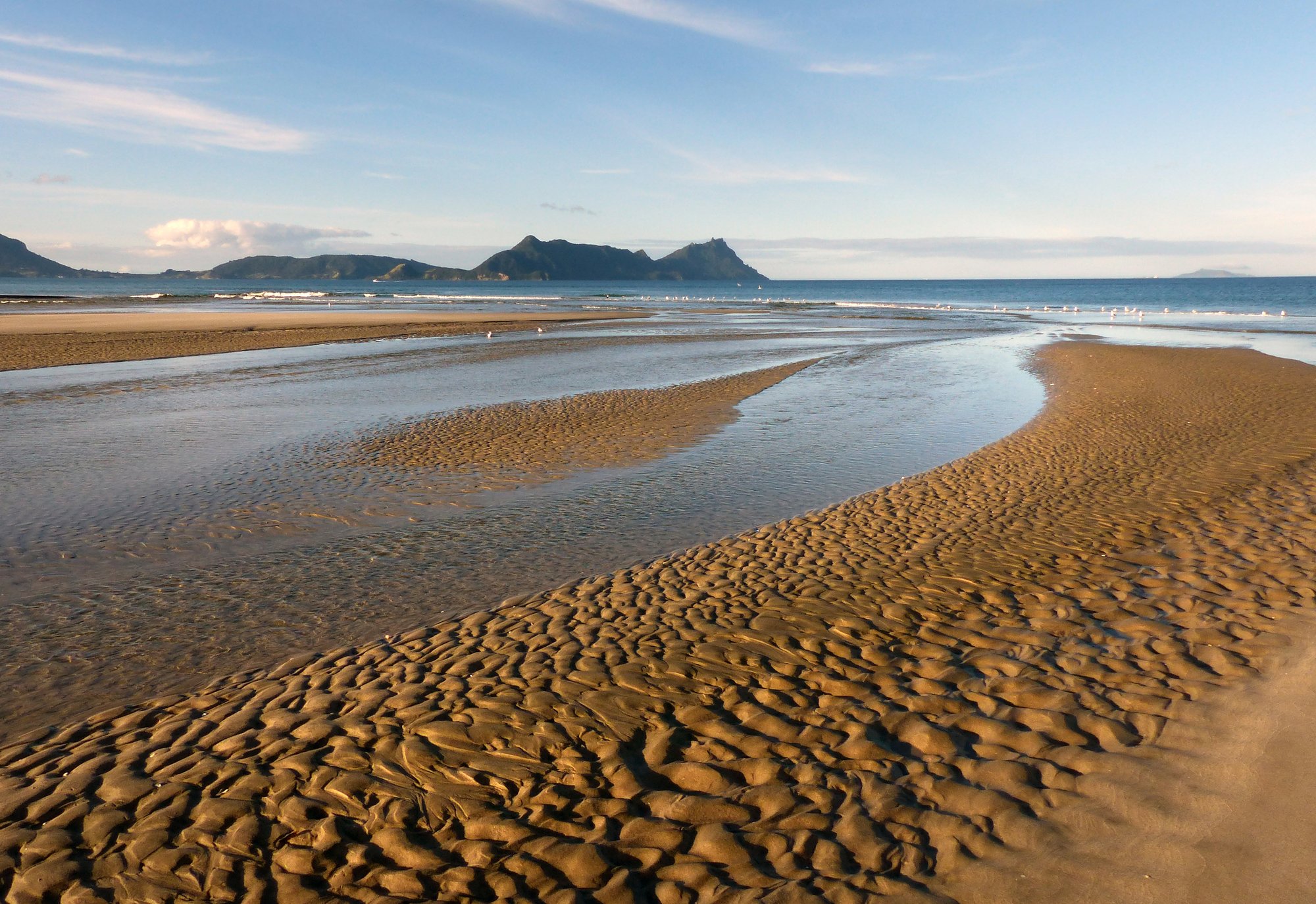
Bream Bay
Hōteo River
Arapaoa River
Wairoa River
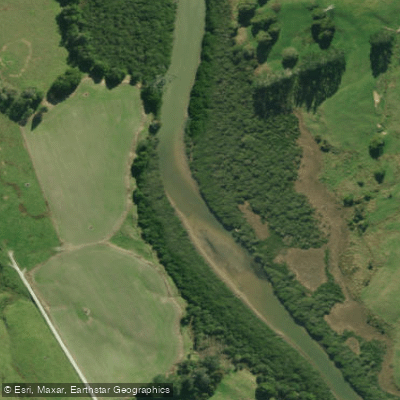
Kaiwaka River
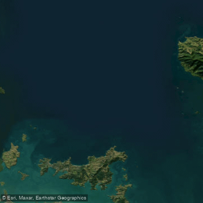
Hauraki Gulf / Tīkapa Moana
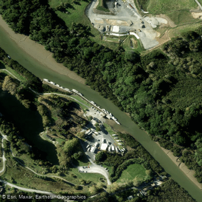
Mahurangi River
Explore Northland waters
Top paddling waters
No waters available right now.
Popular Cities
Loading popular cities...
Explore near Kaipara Harbour

Smarter Paddling Starts in the App.
Paddleways gives you everything you need to plan smarter, paddle better, and own every trip from first launch to takeout.