Lake Rotoiti / Te Roto Kite Ā Ihenga I Ariki Ai Kahu
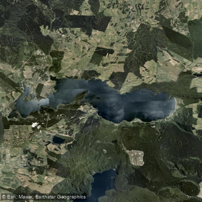
Lake Rotoiti / Te Roto Kite Ā Ihenga I Ariki Ai Kahu
- Boat Ramps
- 5
- Access Points
- 0
- Campsites
- 0
Lake Rotoiti, known in full as Te Rotoiti-kite-a-Īhenga, is a crater lake situated in the Bay of Plenty region of New Zealand's North Island, within the Rotorua Lakes District. The name translates roughly as "The Small Lake Discovered by Īhenga," a reference to the Māori explorer credited with discovering both this lake and the nearby Lake Rotorua. According to legend, Īhenga initially saw only a small portion of the lake and underestimated its size — an impression that gave rise to the name.
The lake sits at an elevation of 279 metres above sea level and covers a surface area of 34.3 square kilometres, stretching approximately 15 kilometres in length and 3.6 kilometres at its widest point. Average depth is 33 metres, with a maximum depth of 100 metres, making it a substantial body of water with meaningful fetch for wind-driven conditions. It is the northwesternmost lake in a chain formed within the Ōkataina Caldera, positioned close to the northern shore of Lake Rotorua, to which it is connected via the Ohau Channel. The lake drains to the Kaituna River, which flows into the Bay of Plenty near Maketu.
The surrounding area includes nearby natural features such as Okere Falls and Kakahi Falls, and the lake is in reasonable proximity to the geothermal activity associated with the broader Rotorua region. Nearby attractions include Hells Gate geothermal area, and the Kaituna River — which exits the lake system — is known for whitewater rafting. Accommodation options exist in the vicinity, including lakefront holiday homes.
Paddlers should be aware that the lake's size and orientation mean it can be exposed to wind, and with a maximum depth of 100 metres, conditions can change meaningfully. The lake's connection to the broader Te Arawa Lakes system gives it cultural significance as one of the lakes under the stewardship of Te Arawa Lakes Trust. Rotorua Regional Airport is approximately 12 kilometres away, making the lake reasonably accessible for visiting paddlers.
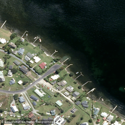
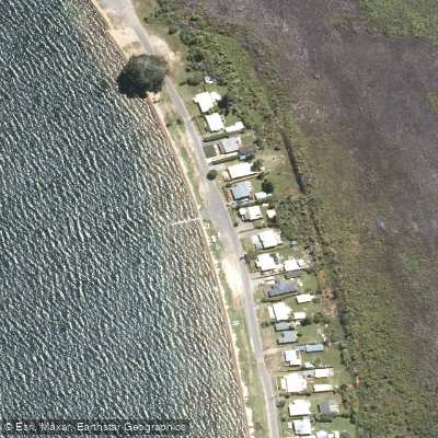
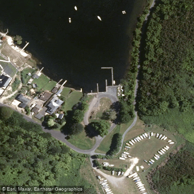
Water access, boat ramps & amenities
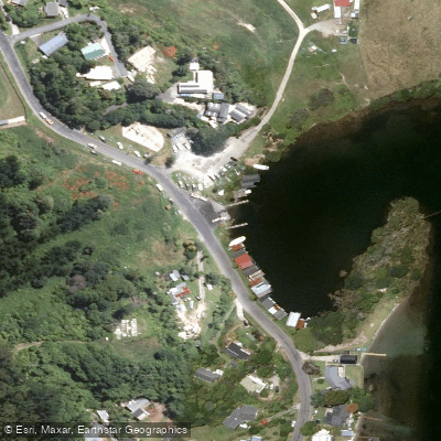
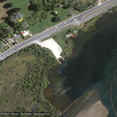
Learn how to get on Lake Rotoiti / Te Roto Kite Ā Ihenga I Ariki Ai Kahu. Uncover great paddling access points, boat ramps, and all the facilities you need for an unforgettable day on the water. Some locations shown may border or include private property. Always check property boundaries and applicable regulations before visiting. PaddleWays's Public & Private Land layer can help you plan your access with confidence.
Paddle smarter with real-time insights
Whether you're en route and conditions shift or you're looking for the best spot based on current flows, we enable you to make informed decisions on the fly.







Bay Of Plenty licenses and regulations
No licenses or regulations available for Bay Of Plenty.
Find Places to Paddle

Over 400,000 Places to Paddle
Every user gets free access to launch points, boat ramps, and public property parcels.


Water and weather conditions (10 day forecast)
See the best times to paddle Lake Rotoiti / Te Roto Kite Ā Ihenga I Ariki Ai Kahu and check the forecast before you go.
No forecast data available.
Paddling near Lake Rotoiti / Te Roto Kite Ā Ihenga I Ariki Ai Kahu
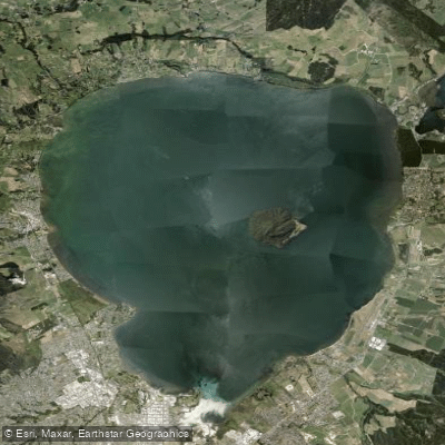
Lake Rotorua / Te Rotorua Nui Ā Kahumatamomoe
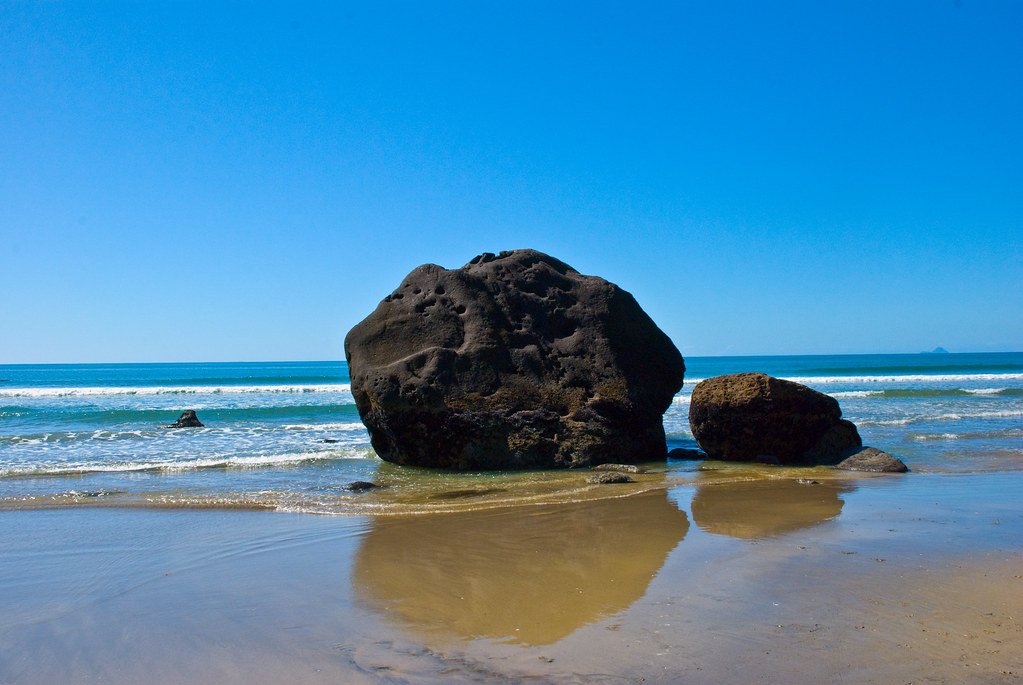
Bay of Plenty
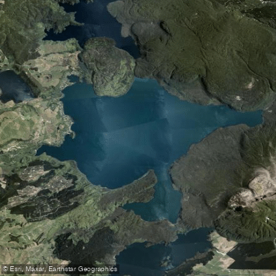
Lake Tarawera
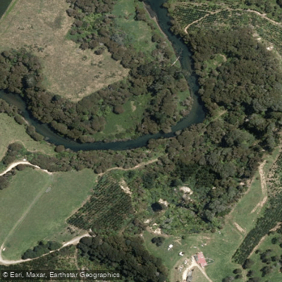
Kaituna River
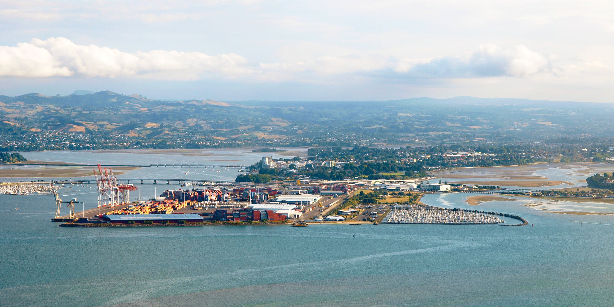
Tauranga Harbour
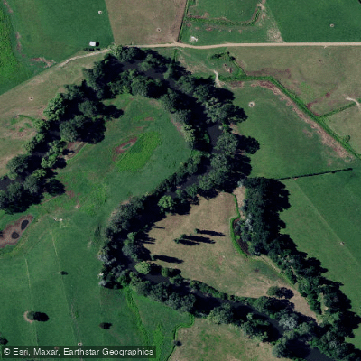
Waihou River
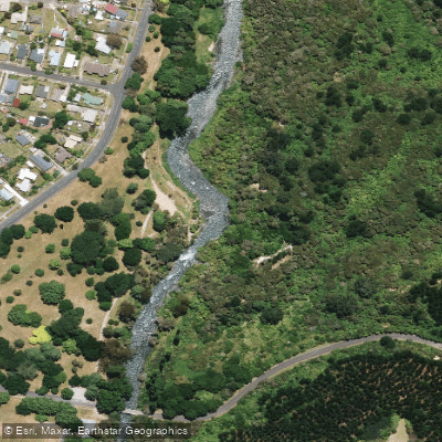
Tarawera River
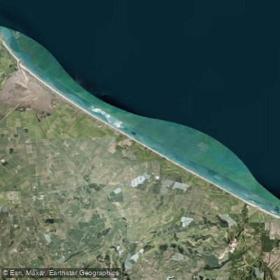
Pukehina Beach
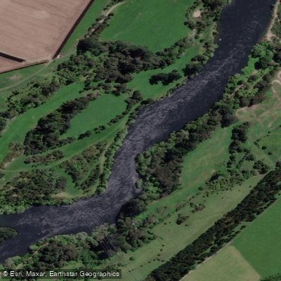
Waikato River
Explore Bay Of Plenty waters
Top paddling waters
No waters available right now.
Popular Cities
Loading popular cities...
Explore near Lake Rotoiti / Te Roto Kite Ā Ihenga I Ariki Ai Kahu
Access points
Nearby waters
More in Bay Of Plenty

Smarter Paddling Starts in the App.
Paddleways gives you everything you need to plan smarter, paddle better, and own every trip from first launch to takeout.