Tarawera River
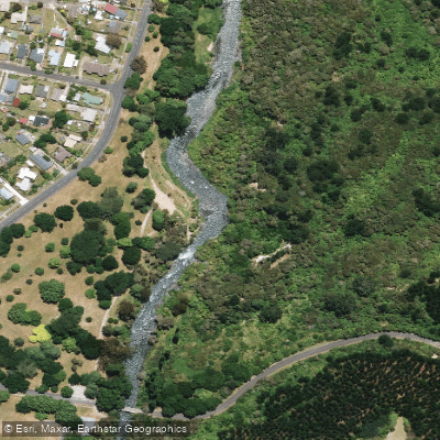
Tarawera River
- Boat Ramps
- 0
- Access Points
- 0
- Campsites
- 1
The Tarawera River originates at the eastern end of Lake Tarawera and flows east through volcanic geology toward the coast, passing through the township of Kawerau in the Bay of Plenty region of New Zealand's North Island. The river offers a range of paddling experiences, from flat water upstream of Kawerau to grade 2-3 rapids through the town itself.
The most notable whitewater section runs for approximately 800 metres alongside Boyce Park and Firmin Field in Kawerau, where a purpose-built canoe slalom course with gates has been established. This is the only purpose-made whitewater slalom course in a New Zealand town, and has hosted major events including the 2013 World Rafting Championships. The course is divided into an upper section, suited to advanced paddlers with a solid whitewater roll, and a lower section offering a more forgiving introduction to moving water. A straight run through the rapids takes under ten minutes, while skilled paddlers can spend around half an hour working the slalom features. The river maintains a good flow year-round.
Access to the slalom course is via River Road and Waterhouse Road in Kawerau, turning onto the dirt road just before the Tarawera Bridge. The top end of the rapid can be accessed from Boyce Park. Parking is available in the tree-lined riverside parks, and toilets and shops are within one kilometre. Bookable accommodation is available at the nearby Firmin Lodge on Waterhouse Street.
Upstream of the rapids, flat water suitable for multi-sport training or recreational paddling can be accessed from Roy Western Park at the end of Poirritt Drive. An experienced paddler can travel approximately 40 minutes upstream from there, with a 20-minute return. This section moves swiftly in places but has no rapids, and offers bush-edged scenery with views of Pūtauaki/Mt Edgecumbe. Paddlers on this stretch should watch for submerged logs and riverside willows.
The river can also be run from approximately 10 kilometres below Tarawera Falls down to Kawerau. The Tarawera Falls themselves drop 65 metres over a sheer cliff into bush-lined rapids, carved into ancient volcanic rock formations. Helmets are recommended on the slalom course, and only paddlers with appropriate skills should attempt the full upper course.
Water access, boat ramps & amenities
Learn how to get on Tarawera River. Uncover great paddling access points, boat ramps, and all the facilities you need for an unforgettable day on the water. Some locations shown may border or include private property. Always check property boundaries and applicable regulations before visiting. PaddleWays's Public & Private Land layer can help you plan your access with confidence.
Paddle smarter with real-time insights
Whether you're en route and conditions shift or you're looking for the best spot based on current flows, we enable you to make informed decisions on the fly.







Bay Of Plenty licenses and regulations
No licenses or regulations available for Bay Of Plenty.
Find Places to Paddle

Over 400,000 Places to Paddle
Every user gets free access to launch points, boat ramps, and public property parcels.


Water and weather conditions (10 day forecast)
See the best times to paddle Tarawera River and check the forecast before you go.
No forecast data available.
Paddling near Tarawera River
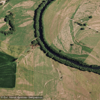
Rangitaiki River
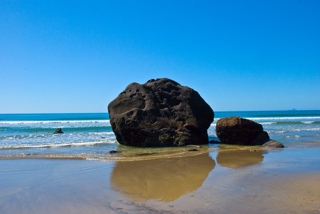
Bay of Plenty
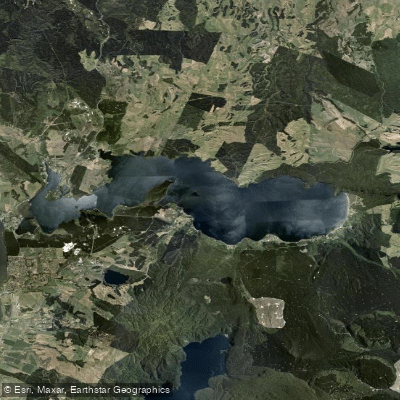
Lake Rotoiti / Te Roto Kite Ā Ihenga I Ariki Ai Kahu
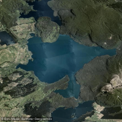
Lake Tarawera
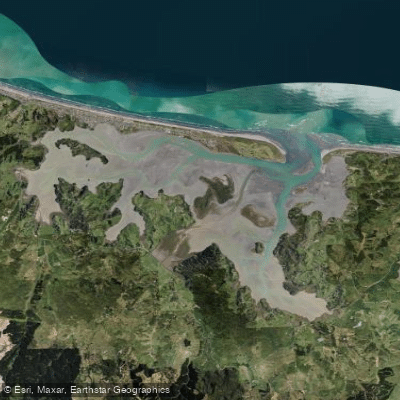
Ōhiwa Harbour
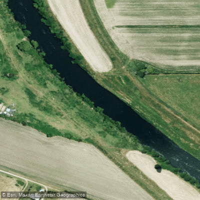
Rangitāiki River
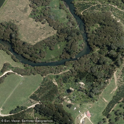
Kaituna River
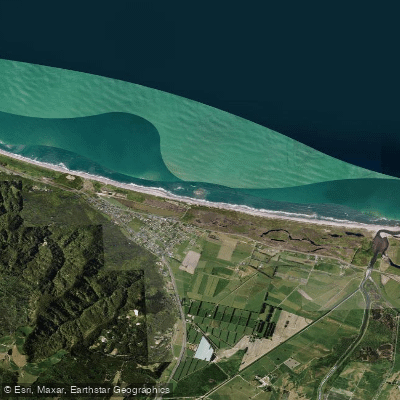
Te Awa a te Atua Beach
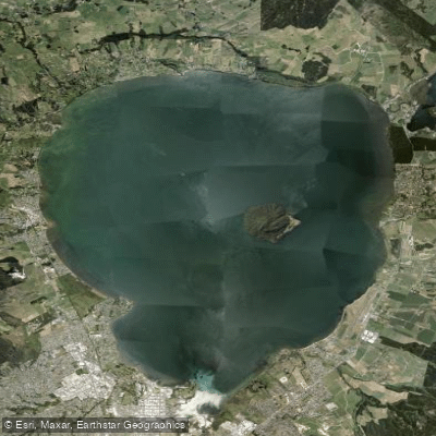
Lake Rotorua / Te Rotorua Nui Ā Kahumatamomoe
Explore Bay Of Plenty waters
Top paddling waters
No waters available right now.
Popular Cities
Loading popular cities...
Explore near Tarawera River
Access points
Nearby waters
More in Bay Of Plenty

Smarter Paddling Starts in the App.
Paddleways gives you everything you need to plan smarter, paddle better, and own every trip from first launch to takeout.