Lake Tarawera
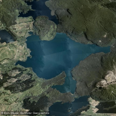
Lake Tarawera
- Boat Ramps
- 4
- Access Points
- 0
- Campsites
- 2
Lake Tarawera is located in the Bay of Plenty region, approximately 17.5 km south of Rotorua via Tarawera Road off SH30. The lake has a surface area of 41 square kilometres, making it one of the larger lakes in the Rotorua district. Its shape is roughly pear-like, with a long narrowing arm extending east to Te Tapahoro Bay, where the Tarawera River exits the lake. The Ariki Arm extends to the south, and Humphries Bay and the Otumutu Lagoon Bay areas lie to the north. Average depth is 50 metres, with a maximum depth of 88 metres. Surface water temperatures range from around 11°C in winter to approximately 22°C in summer. Water quality is noted as excellent.
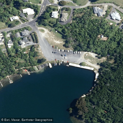
The dominant launch point for most paddlers is the Tarawera Landing on the western shore, which has a café, public toilets, a boat ramp, and a jetty. Additional boat ramps are available on the western side of the lake. Stoney Point Reserve is another noted put-in, described as somewhat more exposed and shallower in approach than the Landing. Access to the eastern outlet area via Kawerau requires a permit from the Kawerau isite Visitor Information Centre (phone: +64 7 323 6300), and overnight parking at the Tarawera Falls Carpark is not permitted. The forest road from Kawerau is closed during hours of darkness and may close in summer when fire risk is high.
A multi-day kayaking circuit is well-established: paddlers commonly cross from the Landing or Stoney Point eastward toward Humphries Bay, continue to the Tarawera Outlet camping ground, and then paddle to Hot Water Beach (Te Rātā Bay) in the Ariki Arm to the south. From the Outlet, a walking track leads to Tarawera Falls. Hot Water Beach features natural geothermal hot pools. The 16 km Tarawera Trail also runs along the lake's edge from the Landing to Hot Water Beach, and paddlers sometimes combine lake travel with sections of this trail.
Dogs are not permitted in DOC-administered areas around the lake, including the Humphries Bay, Tarawera Outlet, and Hot Water Beach campsites. The lake sits in the shadow of Mount Tarawera, the volcano whose 1886 eruption dramatically reshaped the surrounding landscape. Rock paintings are accessible via a short walk from the Landing carpark. The fishing season on the lake opens October 1, which coincides with increased boat traffic.
Water access, boat ramps & amenities
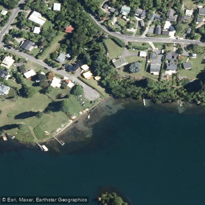
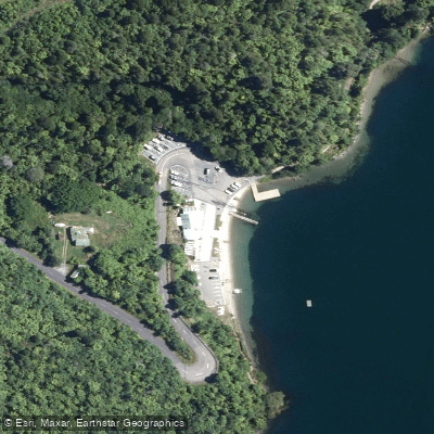
Learn how to get on Lake Tarawera. Uncover great paddling access points, boat ramps, and all the facilities you need for an unforgettable day on the water. Some locations shown may border or include private property. Always check property boundaries and applicable regulations before visiting. PaddleWays's Public & Private Land layer can help you plan your access with confidence.
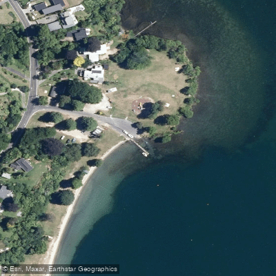
Paddle smarter with real-time insights
Whether you're en route and conditions shift or you're looking for the best spot based on current flows, we enable you to make informed decisions on the fly.







Bay Of Plenty licenses and regulations
No licenses or regulations available for Bay Of Plenty.
Find Places to Paddle

Over 400,000 Places to Paddle
Every user gets free access to launch points, boat ramps, and public property parcels.


Water and weather conditions (10 day forecast)
See the best times to paddle Lake Tarawera and check the forecast before you go.
No forecast data available.
Paddling near Lake Tarawera
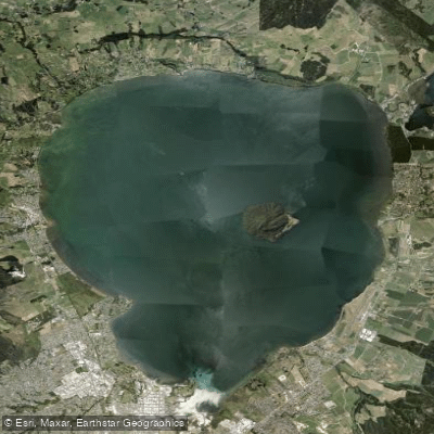
Lake Rotorua / Te Rotorua Nui Ā Kahumatamomoe
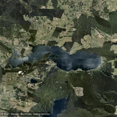
Lake Rotoiti / Te Roto Kite Ā Ihenga I Ariki Ai Kahu
Bay of Plenty
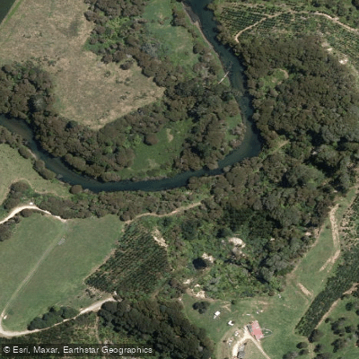
Kaituna River
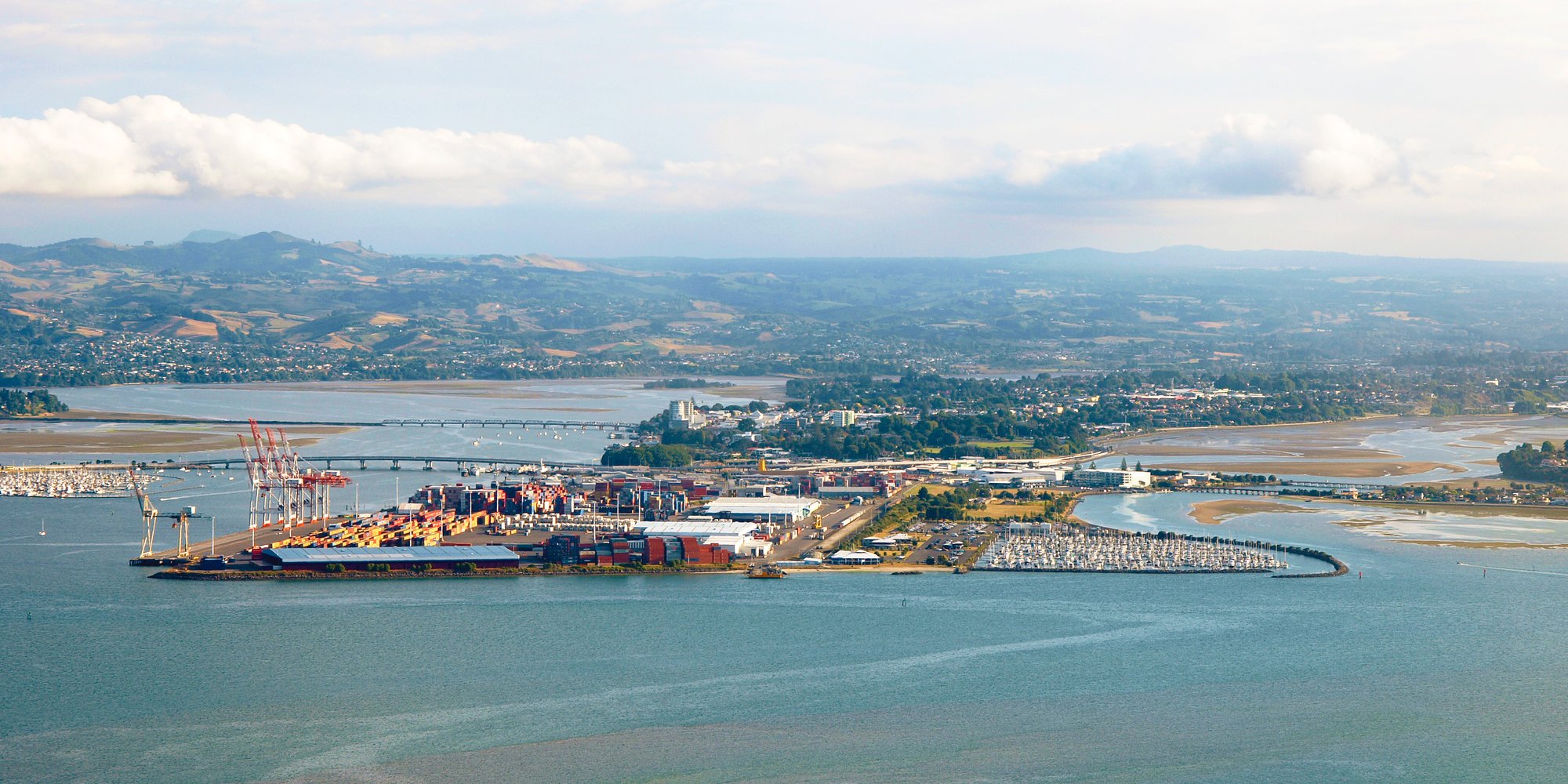
Tauranga Harbour
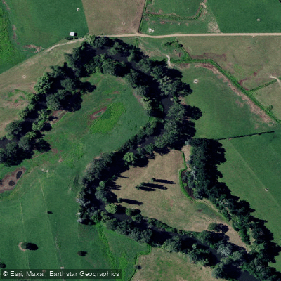
Waihou River
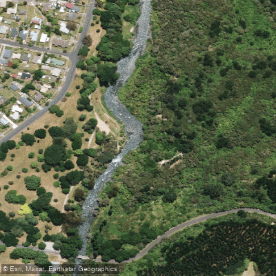
Tarawera River
Pukehina Beach
Waikato River
Explore Bay Of Plenty waters
Top paddling waters
No waters available right now.
Popular Cities
Loading popular cities...
Explore near Lake Tarawera
Access points
Nearby waters
More in Bay Of Plenty

Smarter Paddling Starts in the App.
Paddleways gives you everything you need to plan smarter, paddle better, and own every trip from first launch to takeout.