Ashburton River/Hakatere
Ashburton River/Hakatere
- Boat Ramps
- 0
- Access Points
- 0
- Campsites
- 1
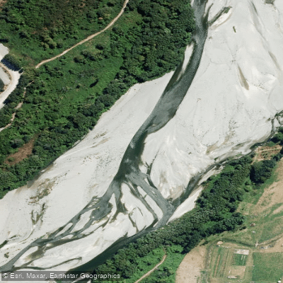
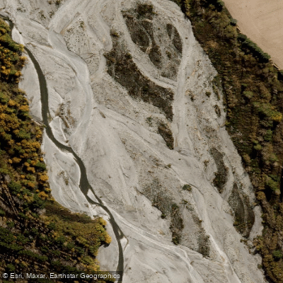
The Ashburton River / Hakatere is a medium-sized gravel-bed braided river in the Canterbury region of New Zealand's South Island, flowing approximately 112 kilometres from the Southern Alps to the Pacific Ocean. The river has two main branches: the North Branch draining the Winterslow, Old Man, and Mt Hutt ranges, and the larger South Branch originating from the Ashburton Glacier below Mount Arrowsmith (2,781 metres). The two branches run roughly parallel across the Canterbury Plains before merging just upstream of the town of Ashburton, about 21 kilometres from the coast.
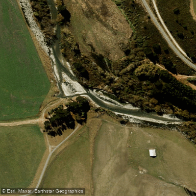
The South Branch offers the most technically demanding paddling, rated Grade III/IV and described as a solid intermediate-to-advanced run. The upper section includes a Grade IV gorge known as the "Gates of Ashvegas," featuring continuous whitewater and a notable chockstone through which paddlers float. The continuous nature of the whitewater demands a competent team at all flows, as a swim could be long and serious. Paddlers wishing to avoid the Grade IV section can put in below the Boundary Creek confluence, though the steep scree and scrub banks may require scouting for a suitable entry point. The run takes approximately 1.5 hours to paddle at moderate flows. A known hazard exists near the takeout: a fence line spanning the channel approximately 200 metres above the takeout, which may be partially submerged at higher flows but presents a real risk at lower water. Paddlers are advised to scout this feature before committing to the final stretch.
The river catchment supports around 14 native fish species, including the threatened Canterbury mudfish, as well as koura (freshwater crayfish) and approximately 48 native bird species. Nationally threatened species present include wrybill, banded dotterel, pied stilt, and black-billed gull — the latter making the river an Important Bird Area as designated by BirdLife International. The river mouth at Hakatere is noted for its dramatic character and is a significant ecological and cultural area for Ngāi Tahu, for whom the waterways hold cultural, spiritual, and historical importance.
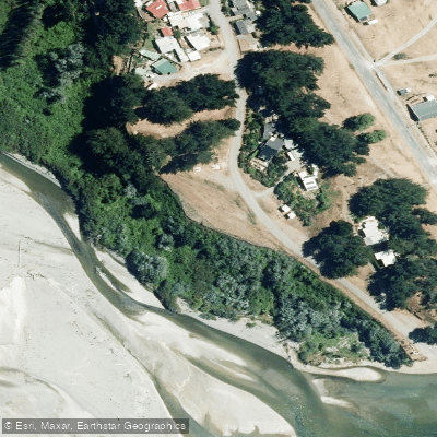
Downstream near the coast, the Ashburton–Hakatere River Trail follows the north bank of the river for 19 kilometres from Ashburton to the river mouth, with multiple road-end access points along the way, which may be useful for paddlers planning flatwater or lower-gradient sections closer to the sea.
Water access, boat ramps & amenities
Learn how to get on Ashburton River/Hakatere. Uncover great paddling access points, boat ramps, and all the facilities you need for an unforgettable day on the water. Some locations shown may border or include private property. Always check property boundaries and applicable regulations before visiting. PaddleWays's Public & Private Land layer can help you plan your access with confidence.
Paddle smarter with real-time insights
Whether you're en route and conditions shift or you're looking for the best spot based on current flows, we enable you to make informed decisions on the fly.







Canterbury licenses and regulations
No licenses or regulations available for Canterbury.
Find Places to Paddle

Over 400,000 Places to Paddle
Every user gets free access to launch points, boat ramps, and public property parcels.


Water and weather conditions (10 day forecast)
See the best times to paddle Ashburton River/Hakatere and check the forecast before you go.
Ashburton River At Sh1 Bridge
Paddling near Ashburton River/Hakatere
Ashburton River North Branch
South Branch Ashburton River / Hakatere
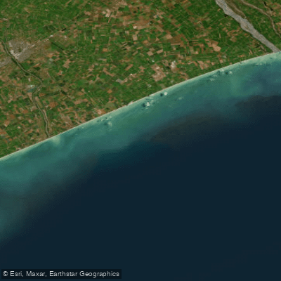
Canterbury Bight
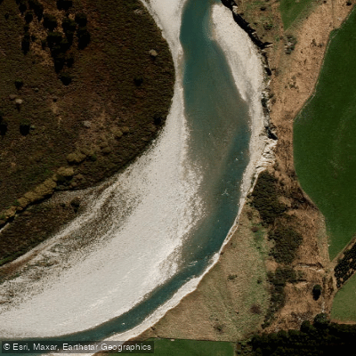
Rangitata River
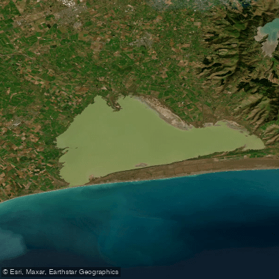
Lake Ellesmere / Te Waihora
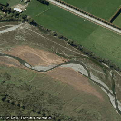
Selwyn River / Waikirikiri
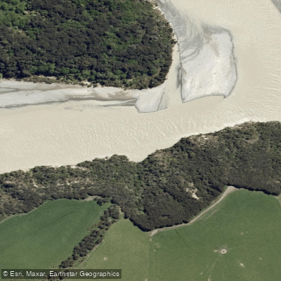
Waimakariri River
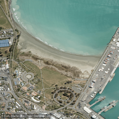
Caroline Bay Beach
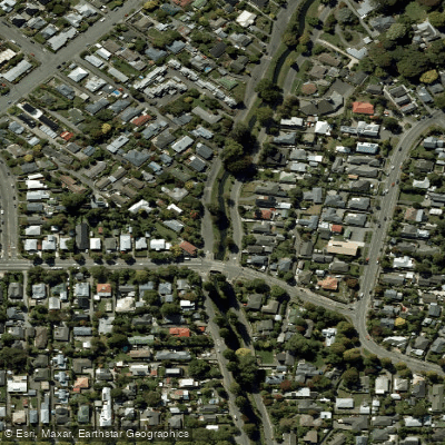
Ōpāwaho / Heathcote River
Explore Canterbury waters
Top paddling waters
No waters available right now.
Popular Cities
Loading popular cities...
Explore near Ashburton River/Hakatere

Smarter Paddling Starts in the App.
Paddleways gives you everything you need to plan smarter, paddle better, and own every trip from first launch to takeout.