Rangitata River
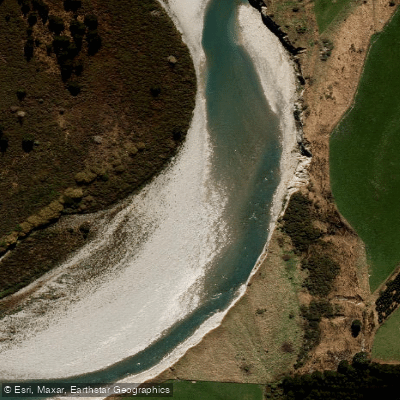
Rangitata River
- Boat Ramps
- 0
- Access Points
- 0
- Campsites
- 0
The Rangitata River in Canterbury, South Island, New Zealand offers two distinctly different paddling experiences depending on which section is run. The lower section is a Grade 2+ beginner-intermediate run that is used regularly by the Peel Forest Outdoor Centre for school camps and kayak instruction courses. It is wide, braided, and gravel-bedded, with rapids that are mostly fun, bouncy wave trains. The terrain offers expansive views of the Southern Alps, and there are multiple options for put-ins and take-outs depending on available time. A put-in near coordinates -43.765020, 171.234040 and take-out near -43.913432, 171.270738 are documented for this section. The lower section is considered suitable at any flow that is not flooding, though it is not recommended as a first-time run for complete beginners.
The Rangitata Gorge is an entirely different proposition, rated Class IV to IV+ (and described by commercial operators as Grade 4/5). The standard gorge run covers approximately 5.9 miles with an average gradient of 44 feet per mile between miles 3.25 and 4.75. Flows range from around 30 cumecs upward. The put-in is accessed via Rangitata Gorge Road near the bottom of the valley, and the take-out is near a powerhouse. The shuttle is approximately 12.6 km and takes around 30 minutes one way on a good dirt road. The gorge is described as tight and twisting, with stark rocky outcrops above churning turquoise water. Those wanting laps can take out on the right directly below the exit pinch and hike back to the top, which is faster than running the full shuttle. The gorge is runnable year-round. Commercial rafting operators on the gorge impose age restrictions (13 and older) and weight minimums (40 kg), and require a reasonable level of fitness and swimming ability.
As with all New Zealand rivers, flows on the Rangitata can fluctuate dramatically, sometimes within minutes to hours. Paddlers should avoid the river when it is running brown or murky, which typically indicates flooding conditions. The river is generally clear and turquoise in normal conditions. The upper Rangitata also sees jet boat traffic used for accessing fishing tributaries, which is worth noting for trip planning purposes.
Water access, boat ramps & amenities
Learn how to get on Rangitata River. Uncover great paddling access points, boat ramps, and all the facilities you need for an unforgettable day on the water. Some locations shown may border or include private property. Always check property boundaries and applicable regulations before visiting. PaddleWays's Public & Private Land layer can help you plan your access with confidence.
Paddle smarter with real-time insights
Whether you're en route and conditions shift or you're looking for the best spot based on current flows, we enable you to make informed decisions on the fly.







Canterbury licenses and regulations
No licenses or regulations available for Canterbury.
Find Places to Paddle

Over 400,000 Places to Paddle
Every user gets free access to launch points, boat ramps, and public property parcels.


Water and weather conditions (10 day forecast)
See the best times to paddle Rangitata River and check the forecast before you go.
Rangitata River At Klondyke
Paddling near Rangitata River
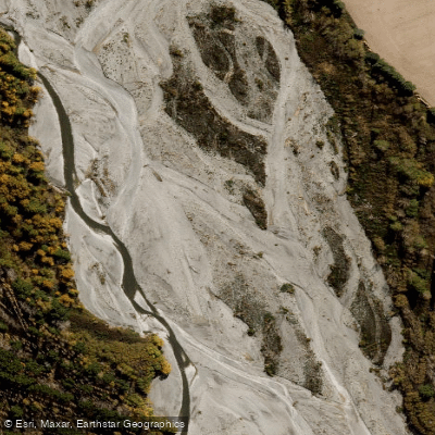
Ashburton River North Branch
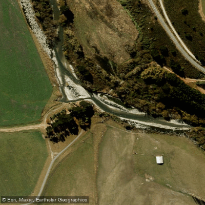
South Branch Ashburton River / Hakatere
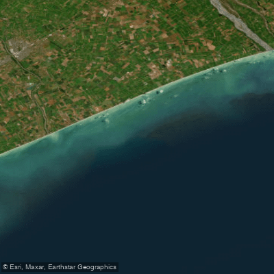
Canterbury Bight
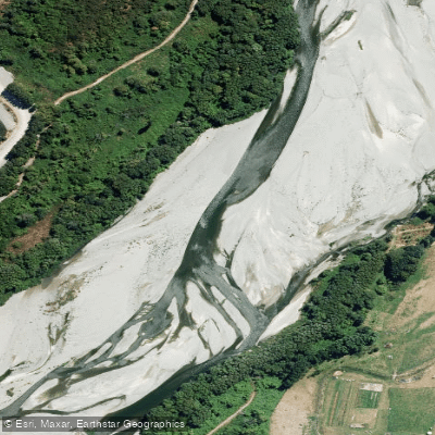
Ashburton River/Hakatere
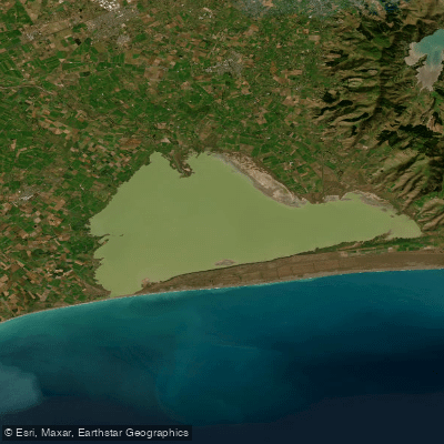
Lake Ellesmere / Te Waihora
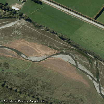
Selwyn River / Waikirikiri
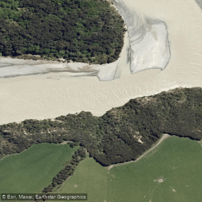
Waimakariri River
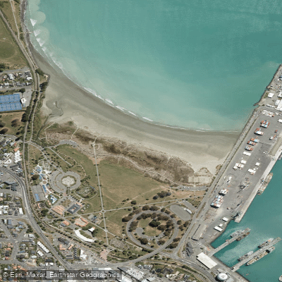
Caroline Bay Beach
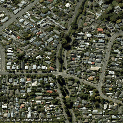
Ōpāwaho / Heathcote River
Explore Canterbury waters
Top paddling waters
No waters available right now.
Popular Cities
Loading popular cities...

Smarter Paddling Starts in the App.
Paddleways gives you everything you need to plan smarter, paddle better, and own every trip from first launch to takeout.