Godley River
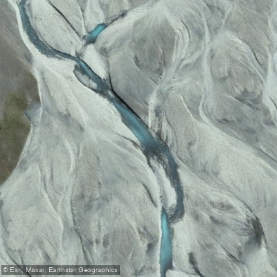
Godley River
- Boat Ramps
- 0
- Access Points
- 0
- Campsites
- 0
The Godley River is an alpine braided river flowing through Canterbury on New Zealand's South Island. It runs approximately 30 kilometres south from its headwaters at the Godley Glacier, which originates near McClure Peak in Aoraki / Mount Cook National Park, before emptying into the northern end of Lake Tekapo. As part of the upper Waitaki catchment, the river ultimately forms part of the headwaters of the Waitaki hydroelectric scheme.
As a glacially fed braided river, the Godley carries the characteristic wide, shallow, multi-channelled form typical of Canterbury's alpine rivers. The upper reaches offer views of glacier lakes, while the lower sections feature the braided channels common to rivers descending from the Southern Alps. The scenery throughout is defined by the surrounding high-country landscape.
The river is documented as a jet boating destination, with the section from McKinnon Stream down to Lake Tekapo being a recognised jet boating route in the Upper Waitaki region. The lower braided channels and the glacier lakes in the upper reaches are noted features of this route. Paddlers should be aware that jet boating activity occurs on this river and plan accordingly, as this represents a significant safety consideration for those in smaller craft.
Water clarity on braided Canterbury rivers can vary, and glacial input means water temperatures are typically cold, consistent with high-country alpine rivers fed by snowmelt and glacier runoff. Flows and clarity can be affected by abstraction activities in the broader Waitaki system, with peak abstraction coinciding with summer irrigation demand months.
Access to the river corridor is associated with Lilybank Station, which sits upstream from Lake Tekapo. The river's remote alpine location means facilities and amenities for paddlers are minimal, and the terrain requires careful logistical planning for any trip.
Water access, boat ramps & amenities
Learn how to get on Godley River. Uncover great paddling access points, boat ramps, and all the facilities you need for an unforgettable day on the water. Some locations shown may border or include private property. Always check property boundaries and applicable regulations before visiting. PaddleWays's Public & Private Land layer can help you plan your access with confidence.
Paddle smarter with real-time insights
Whether you're en route and conditions shift or you're looking for the best spot based on current flows, we enable you to make informed decisions on the fly.







Canterbury licenses and regulations
No licenses or regulations available for Canterbury.
Find Places to Paddle

Over 400,000 Places to Paddle
Every user gets free access to launch points, boat ramps, and public property parcels.


Water and weather conditions (10 day forecast)
See the best times to paddle Godley River and check the forecast before you go.
No forecast data available.
Paddling near Godley River
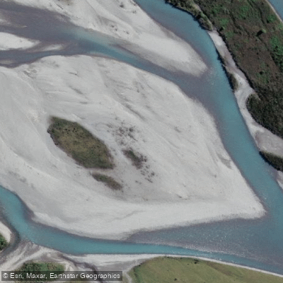
Hokitika River
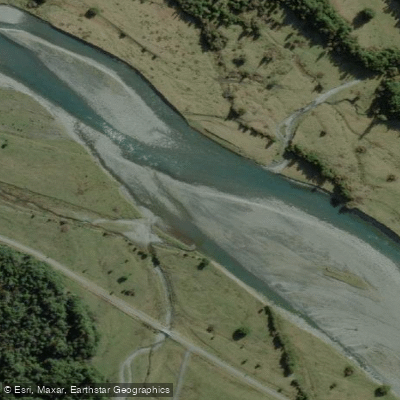
Arahura River
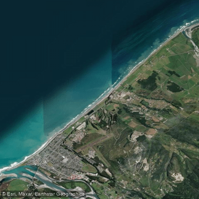
Hokitika Beach
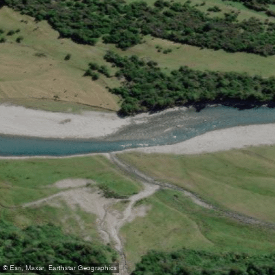
Kokatahi River
Toaroha River
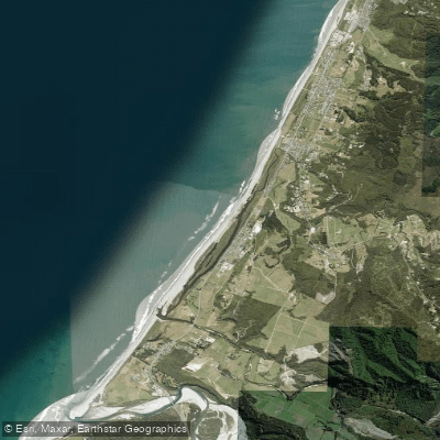
South Beach
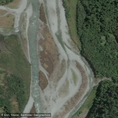
Taipo River
Mikonui River
Kararo Beach
Waitaha River
Explore Canterbury waters
Top paddling waters
No waters available right now.
Popular Cities
Loading popular cities...
Explore near Godley River

Smarter Paddling Starts in the App.
Paddleways gives you everything you need to plan smarter, paddle better, and own every trip from first launch to takeout.