Lake Benmore
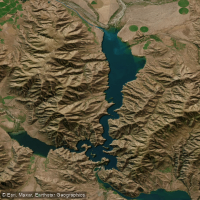
Lake Benmore
- Boat Ramps
- 2
- Access Points
- 0
- Campsites
- 5
Lake Benmore is New Zealand's largest artificial lake, located in the South Island within the Mackenzie, Waimate, and Waitaki Districts of the Canterbury region. Created in the 1960s by the construction of Benmore Dam as part of the Waitaki River hydro-electric scheme, the lake covers approximately 75 km² with a maximum depth of 90 metres and sits at a surface elevation of 362 metres. It consists of two main arms: the Haldon Arm, fed by the Tekapo, Pukaki, Twizel, and Ohau rivers, and the Ahuriri Arm, fed primarily by the Ahuriri River.
The lake is described as Canterbury's most popular recreational lake, offering considerable space for paddlers alongside power boats, yachts, and anglers. During summer holidays and long weekends the lake sees heavy power boat traffic, though by evening these vessels typically return to roadside motor camps, leaving quieter conditions for those on the water. The scenery is characterised by open water, surrounding hills, and side valleys including Shepherds Creek and Falstone Creek.
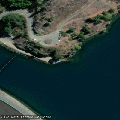
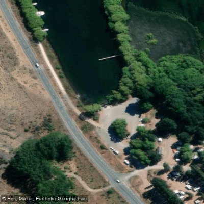
There are several boat launching ramps available. The Benmore Dam ramp is located on the top side of the dam, reached by turning off SH 83 at Otematata and travelling 5 km; the shoreline here is steep and rocky. The Ohau C tailrace and Falstone Creek ramps serve the Waitaki Basin area, with Falstone noted as more sheltered. The Haldon boat harbour is shallow and weedy. From the dam, paddlers can access either the Haldon Arm or the Ahuriri Arm.
A key safety consideration is that lake levels are managed by Meridian Energy for hydro-generation purposes and can change relatively quickly. Access near Meridian's hydro-electricity generation assets is controlled for safety reasons. The Ahuriri Arm can experience very strong winds in both southerly and northwesterly conditions, capable of building a rough sea. Extensive areas of shallow water exist towards the head of the lake and along the eastern shore. A rocky shoal southeast of Whanau Island, marked by poles, requires attention. The western shore and south of Black Forest generally allow close approach to the shoreline.
Anglers generally have access around the lake margins on Crown land managed by LINZ and the Department of Conservation. The Alps to Ocean cycle trail runs parallel to SH 83 along the southern shoreline of the Ahuriri Arm and can assist with access in that area.
Water access, boat ramps & amenities
Learn how to get on Lake Benmore. Uncover great paddling access points, boat ramps, and all the facilities you need for an unforgettable day on the water. Some locations shown may border or include private property. Always check property boundaries and applicable regulations before visiting. PaddleWays's Public & Private Land layer can help you plan your access with confidence.
Paddle smarter with real-time insights
Whether you're en route and conditions shift or you're looking for the best spot based on current flows, we enable you to make informed decisions on the fly.







Canterbury licenses and regulations
No licenses or regulations available for Canterbury.
Find Places to Paddle

Over 400,000 Places to Paddle
Every user gets free access to launch points, boat ramps, and public property parcels.


Water and weather conditions (10 day forecast)
See the best times to paddle Lake Benmore and check the forecast before you go.
No forecast data available.
Paddling near Lake Benmore
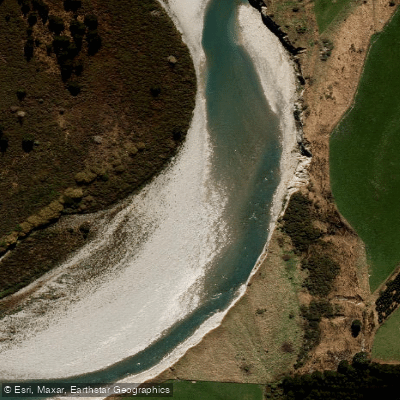
Rangitata River
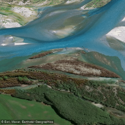
Waitaki River
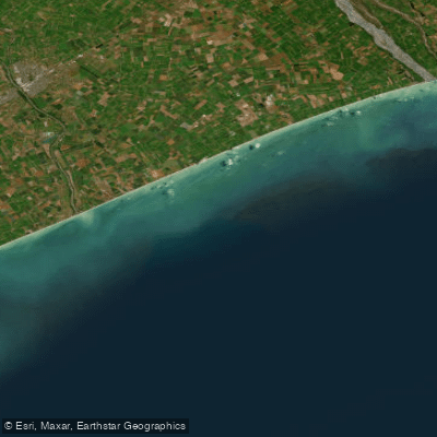
Canterbury Bight
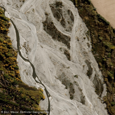
Ashburton River North Branch
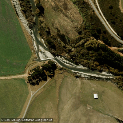
South Branch Ashburton River / Hakatere
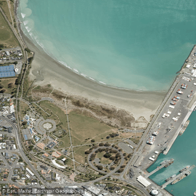
Caroline Bay Beach
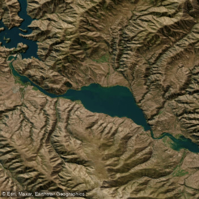
Lake Aviemore
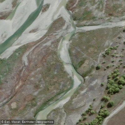
Tekapo River
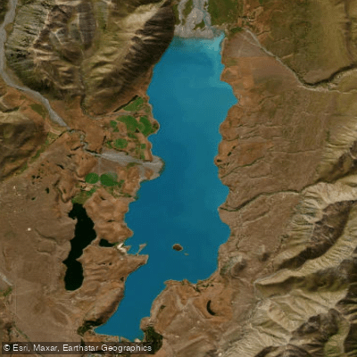
Lake Tekapo / Takapō
Explore Canterbury waters
Top paddling waters
No waters available right now.
Popular Cities
Loading popular cities...
Explore near Lake Benmore
Access points
Nearby waters
More in Canterbury

Smarter Paddling Starts in the App.
Paddleways gives you everything you need to plan smarter, paddle better, and own every trip from first launch to takeout.