Tekapo River
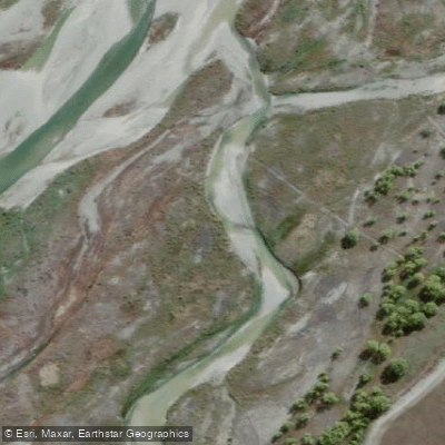
Tekapo River
- Boat Ramps
- 0
- Access Points
- 0
- Campsites
- 0
The Tekapo River in New Zealand operates under unusual conditions that paddlers must understand before planning a trip. Because Lake Tekapo functions as a hydro storage lake, the river's upper reaches are normally dry — water from the lake is diverted through the Tekapo-A power station and into a series of hydro canals rather than flowing down the natural river channel. As a result, the river only runs when the Tekapo dam, located beneath State Highway 8 near the village of Lake Tekapo, is deliberately opened for recreational purposes.
This happens several times a year by prior arrangement, coordinated by the Tekapo White Water Trust, a volunteer organization. When the dam is opened, water flows both down the upper Tekapo River and through the adjacent Tekapo White Water Kayaking Course, which was built in association with the former Electricity Corporation of New Zealand. The white water course is located a short distance behind the village. The upper section of the river, above the Tekapo-A power station, also flows during these release events and terminates at Lake George Scott, which provides a safe exit point for paddlers.
One notable characteristic of this setup is that flow levels can be actively managed throughout the day using the dam controls and gates at the entrance to the white water course. Event organizers may increase flow in stages, meaning the difficulty of the course can change over the course of a single day. Paddlers should be aware that conditions are entirely dependent on scheduled release events and cannot be experienced outside of those arranged dates.
Anyone planning to paddle the Tekapo River or the white water course should check the Tekapo White Water Trust's events schedule well in advance, as access is not available on demand.
Water access, boat ramps & amenities
Learn how to get on Tekapo River. Uncover great paddling access points, boat ramps, and all the facilities you need for an unforgettable day on the water. Some locations shown may border or include private property. Always check property boundaries and applicable regulations before visiting. PaddleWays's Public & Private Land layer can help you plan your access with confidence.
Paddle smarter with real-time insights
Whether you're en route and conditions shift or you're looking for the best spot based on current flows, we enable you to make informed decisions on the fly.







Canterbury licenses and regulations
No licenses or regulations available for Canterbury.
Find Places to Paddle

Over 400,000 Places to Paddle
Every user gets free access to launch points, boat ramps, and public property parcels.


Water and weather conditions (10 day forecast)
See the best times to paddle Tekapo River and check the forecast before you go.
Tekapo River At Downstream Mary Burn Confluence
All Flow Stations
Paddling near Tekapo River
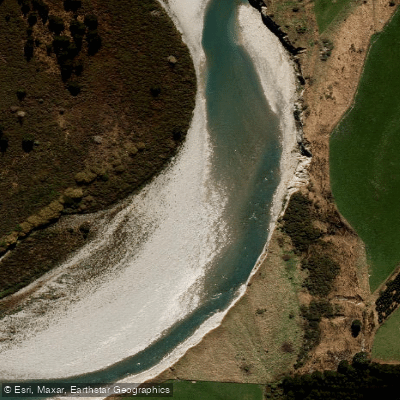
Rangitata River
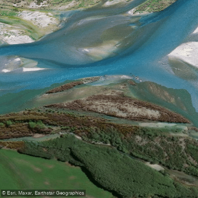
Waitaki River
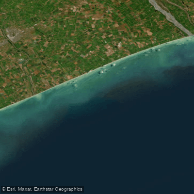
Canterbury Bight
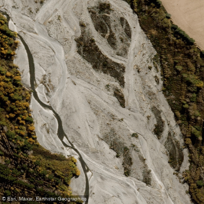
Ashburton River North Branch
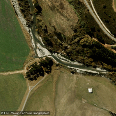
South Branch Ashburton River / Hakatere
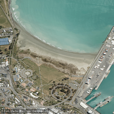
Caroline Bay Beach
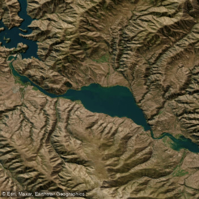
Lake Aviemore
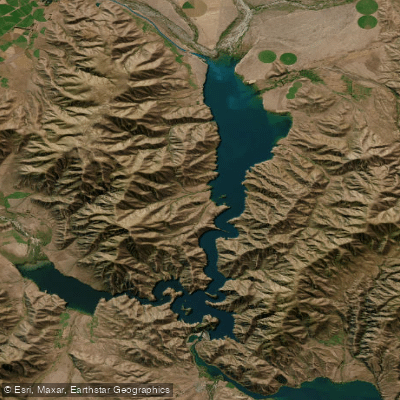
Lake Benmore
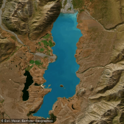
Lake Tekapo / Takapō
Explore Canterbury waters
Top paddling waters
No waters available right now.
Popular Cities
Loading popular cities...
Explore near Tekapo River

Smarter Paddling Starts in the App.
Paddleways gives you everything you need to plan smarter, paddle better, and own every trip from first launch to takeout.