South Taranaki Bight
- Saltwater
- Bay
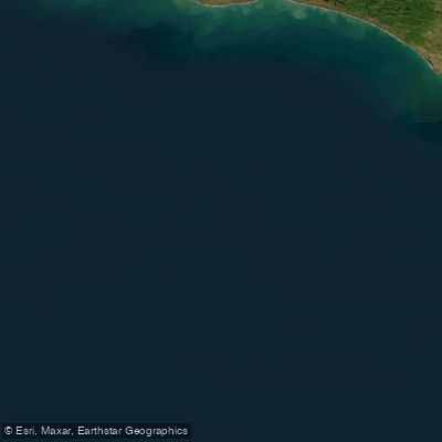
South Taranaki Bight
- Saltwater
- Bay
- Sq. miles
- 1,967
- Boat Ramps
- 0
- Access Points
- 0
- Campsites
- 6
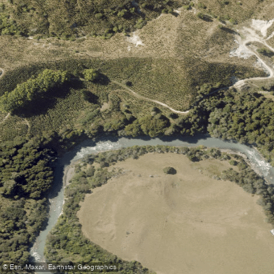
The South Taranaki Bight is a large, open coastal indentation lying north and west of the western entrance to Cook Strait. It is a significant marine feature characterized by water that shoals gradually inshore. The bight forms the coastal boundary for several major river systems, including the Whanganui River, which empties into it after 290 km, and the Rangitīkei River, which meets the bight at Tangimoana, approximately 40 km southeast of Whanganui. The town of Whanganui itself is situated directly on the bight, close to the mouth of the Whanganui River. This geography provides primary access points for paddlers at these river mouths and the adjacent coastal areas of Whanganui and Tangimoana. The bight's open exposure to the Tasman Sea means it is subject to significant wind and swell, creating a fetch that can generate challenging conditions, including surf zones at river entries and exposed coastal stretches. The effect of proposed industrial operations on surfing quality in the bight has been a noted community concern, indicating the presence of surfable waves. The area is valued for recreational use, and boat traffic, including jet skis, power boats, and sailing vessels, is common, particularly near the Whanganui River mouth. Paddlers should be prepared for a dynamic coastal environment with strong winds, potential swell, and shared waterways. The surrounding region features the dramatic landscapes of the Whanganui and Rangitikei river valleys, with the latter known for its sheer vertical clay cliffs and deep canyons incised into soft marine sediments.
Water access, boat ramps & amenities
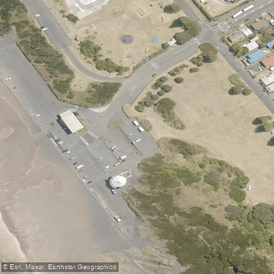
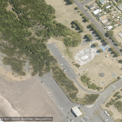
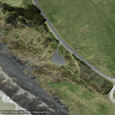
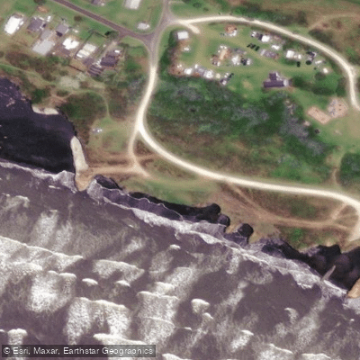
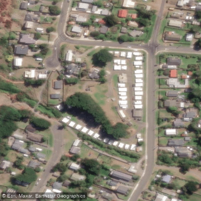
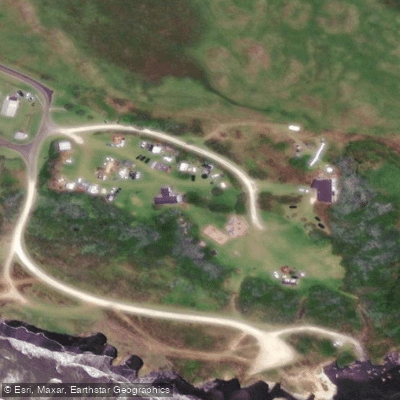
Learn how to get on South Taranaki Bight. Uncover great paddling access points, boat ramps, and all the facilities you need for an unforgettable day on the water. Some locations shown may border or include private property. Always check property boundaries and applicable regulations before visiting. PaddleWays's Public & Private Land layer can help you plan your access with confidence.
Paddle smarter with real-time insights
Whether you're en route and conditions shift or you're looking for the best spot based on current flows, we enable you to make informed decisions on the fly.







Manawatū Whanganui licenses and regulations
No licenses or regulations available for Manawatū Whanganui.
Find Places to Paddle

Over 400,000 Places to Paddle
Every user gets free access to launch points, boat ramps, and public property parcels.


Tides, wind & water conditions (10 day forecast)
On open water, wind and tide matter as much as the weather. See the best times to paddle South Taranaki Bight and check the marine forecast before you launch.
Loading tide predictions…
Paddling near South Taranaki Bight

Whanganui River
Whangaehu River
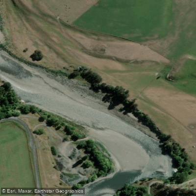
Rangitīkei River
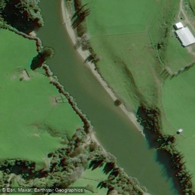
Pātea River
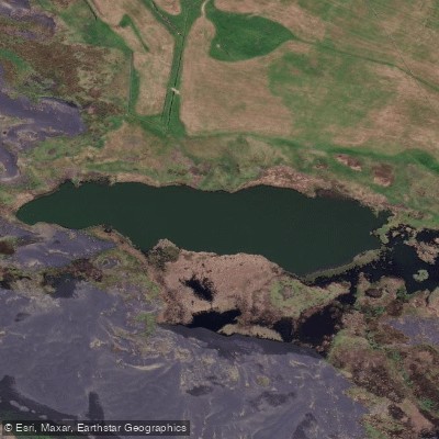
Tapuarau Lagoon
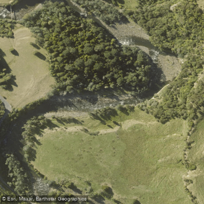
Manganuioteao River
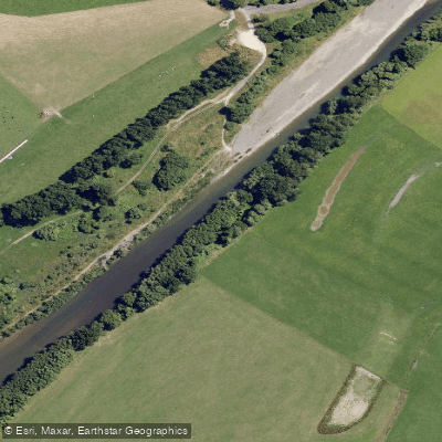
Manawatū River
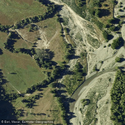
Pohangina River
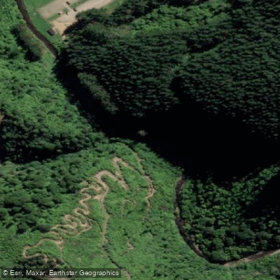
Kahuterawa Stream
Explore Manawatū Whanganui waters
Top paddling waters
No waters available right now.
Popular Cities
Loading popular cities...
Explore near South Taranaki Bight
Access points
Nearby waters
More in Manawatū Whanganui

Smarter Paddling Starts in the App.
Paddleways gives you everything you need to plan smarter, paddle better, and own every trip from first launch to takeout.