Whakapapa River
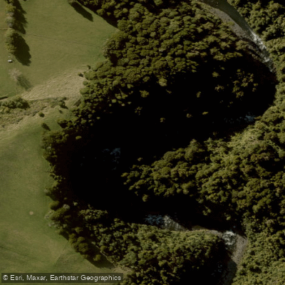
Whakapapa River
- Boat Ramps
- 0
- Access Points
- 0
- Campsites
- 0
The Whakapapa River originates on the slopes of Mt Ruapehu in Tongariro National Park and flows northward, eventually joining the Whanganui River near the village of Kakahi. The river is formed by the confluence of two tributaries, the Whakapapaiti and the Whakapapanui, below the Whakapapa Dam. The riverbed is bouldery with an even gradient, and the surrounding banks are lined with native New Zealand podocarp forest, including some of the tallest stands of rimu and kahikatea in the country. The area supports the highest density population of whio (blue duck) in New Zealand, making wildlife encounters a regular feature of any paddle.
The main whitewater run extends from the Whakapapa intake structure (below the Whakapapa Dam) to the bridge at Owhango, covering approximately 23 kilometres and typically taking four to six hours. This section is rated Grade 3–4, with optimal flows between 25 and 60 cumecs. The shuttle is approximately 40 kilometres. The character of this run is described as wilderness, scenic, and relatively consistent in gradient. Note that the Tongariro Power Scheme controls water releases, and the river is known to run at its best on scheduled release days — historically around two per year in September — when the power company is not diverting water. Below 25 cumecs the run becomes scratchy; above 60 cumecs the river becomes a demanding, committing experience with limited escape options.
The two tributary runs above the dam offer additional options. The Whakapapanui (SH47 road bridge to Whakapapa Dam, 9 km, Grade 3–4) is considered the more scenic and slightly more forgiving of the two. The Whakapapaiti (SH47 to Whakapapa Dam, 9 km, Grade 3–4) is faster and more technical. Both are rain-dependent due to their small catchments and are best run between 20 and 50 cumecs.
A lower, more accessible section near Owhango is used by guided commercial operators running half-day trips in two-person inflatable kayaks, covering roughly 9 kilometres before joining the Whanganui River. This section features Grade 2–3 rapids and is suitable for beginners and families. Access to the upper reaches via Intake Road has at times been subject to closure disputes, so paddlers should verify current access status before planning a trip. Access to the lower reaches is available from the end of Te Rena Road via Kakahi.
Water access, boat ramps & amenities
Learn how to get on Whakapapa River. Uncover great paddling access points, boat ramps, and all the facilities you need for an unforgettable day on the water. Some locations shown may border or include private property. Always check property boundaries and applicable regulations before visiting. PaddleWays's Public & Private Land layer can help you plan your access with confidence.
Paddle smarter with real-time insights
Whether you're en route and conditions shift or you're looking for the best spot based on current flows, we enable you to make informed decisions on the fly.







Manawatū Whanganui licenses and regulations
No licenses or regulations available for Manawatū Whanganui.
Find Places to Paddle

Over 400,000 Places to Paddle
Every user gets free access to launch points, boat ramps, and public property parcels.


Water and weather conditions (10 day forecast)
See the best times to paddle Whakapapa River and check the forecast before you go.
No forecast data available.
Paddling near Whakapapa River

Whanganui River
Ōngarue River
Waikawau Beach
Mangatepopo Stream
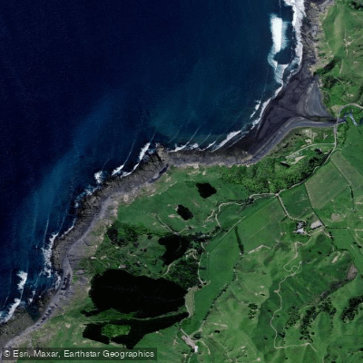
Kiritehere Beach
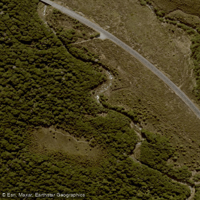
Whakapapanui Stream
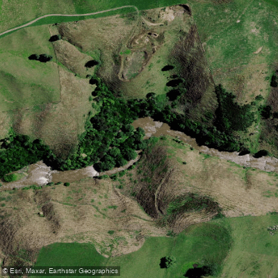
Mōkau River
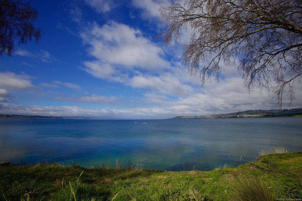
Lake Taupō
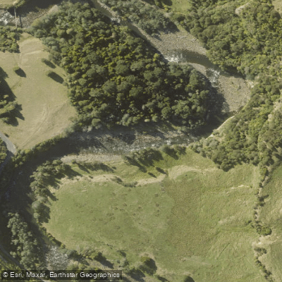
Manganuioteao River
Explore Manawatū Whanganui waters
Top paddling waters
No waters available right now.
Popular Cities
Loading popular cities...
Explore near Whakapapa River

Smarter Paddling Starts in the App.
Paddleways gives you everything you need to plan smarter, paddle better, and own every trip from first launch to takeout.