Whakapapanui Stream
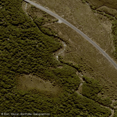
Whakapapanui Stream
- Boat Ramps
- 0
- Access Points
- 0
- Campsites
- 1
The Whakapapanui Stream is located within Tongariro National Park on New Zealand's North Island, flowing through beech forest and eventually combining with the Whakapapaiti to form the Whakapapa River. The stream offers two distinct paddling experiences: a waterfall section at Tawhai Falls and a longer river run down to Whakapapa Dam.
The Tawhai Falls section is a park-and-huck waterfall run rated Class IV+ to V-. The Tawhai Falls access on State Highway 48 serves as both put-in and take-out, making it a short-shuttle affair. The falls stand approximately 20 feet tall. Flows are visual only, with a recommended range of 50 to 400 cfs. The run is year-round but dependent on rainfall, as the catchment is small and the stream can drop very low between rain events. At lower flows the drop is relatively straightforward; paddlers should avoid letting the bow lift and stay left of the green water on the right side of the falls. The falls are reportedly the inspiration for Gollum's waterfall in the Lord of the Rings films.
The longer river run extends from a road bridge on SH47 to Whakapapa Dam, covering approximately 10 kilometres with a shuttle of around 10 kilometres. This section is described as easier and more scenic than its western counterpart, the Whakapapaiti. The gradient is described as a technical gorge with stunning scenery. Like the falls section, this run is rain-dependent due to the small catchment. Below 20 cumecs the river becomes very scratchy and difficult to paddle. Above 50 cumecs the run becomes a demanding, continuous ride with few opportunities to exit or reconsider. The recommended flow window is 20 to 50 cumecs, assessed visually.
The surrounding landscape includes storm-damaged beech forest in various stages of regeneration, waterlogged clearings, and views of the Tongariro volcanic peaks. The area receives significant rainfall, which is both the primary challenge and the enabler of good paddling conditions. Paddlers should be prepared for rapidly changing flows given the small catchment size.
Water access, boat ramps & amenities
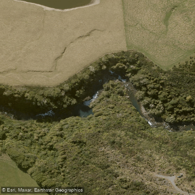
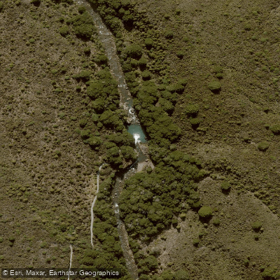
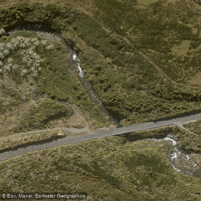
Learn how to get on Whakapapanui Stream. Uncover great paddling access points, boat ramps, and all the facilities you need for an unforgettable day on the water. Some locations shown may border or include private property. Always check property boundaries and applicable regulations before visiting. PaddleWays's Public & Private Land layer can help you plan your access with confidence.
Paddle smarter with real-time insights
Whether you're en route and conditions shift or you're looking for the best spot based on current flows, we enable you to make informed decisions on the fly.







Manawatū Whanganui licenses and regulations
No licenses or regulations available for Manawatū Whanganui.
Find Places to Paddle

Over 400,000 Places to Paddle
Every user gets free access to launch points, boat ramps, and public property parcels.


Water and weather conditions (10 day forecast)
See the best times to paddle Whakapapanui Stream and check the forecast before you go.
No forecast data available.
Paddling near Whakapapanui Stream

Whanganui River
Ōngarue River
Waikawau Beach
Mangatepopo Stream
Whakapapa River
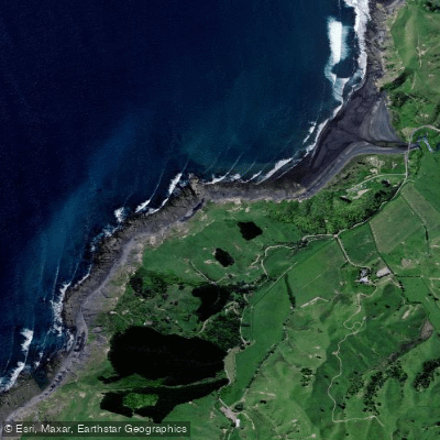
Kiritehere Beach
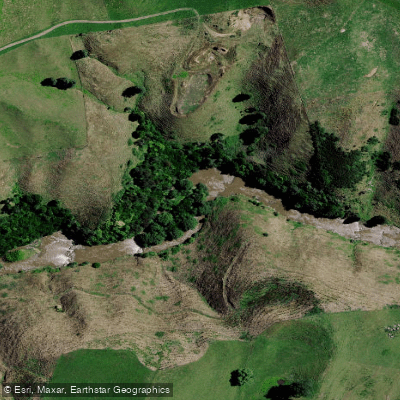
Mōkau River
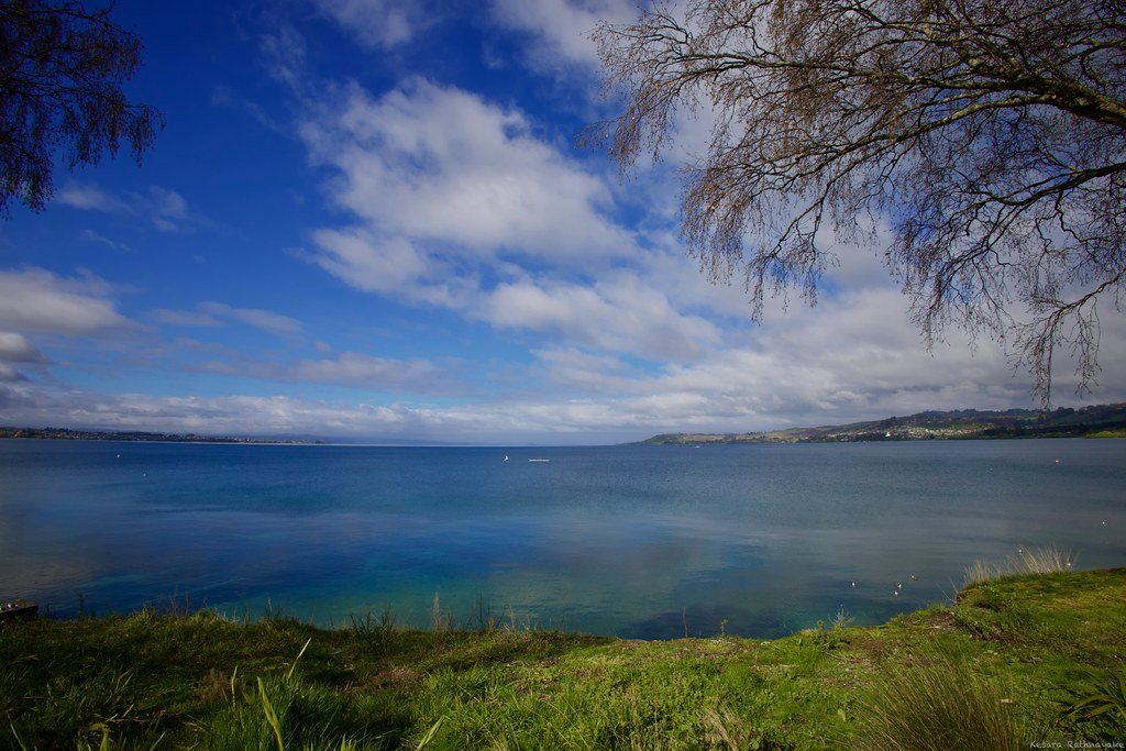
Lake Taupō
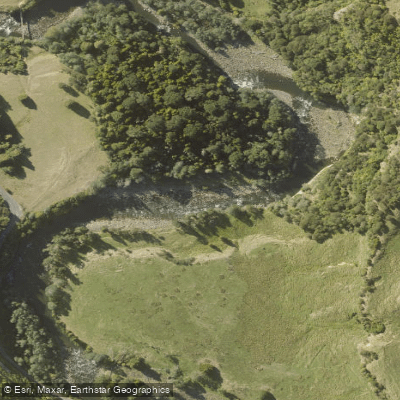
Manganuioteao River
Explore Manawatū Whanganui waters
Top paddling waters
No waters available right now.
Popular Cities
Loading popular cities...
Explore near Whakapapanui Stream
Access points
Nearby waters
More in Manawatū Whanganui

Smarter Paddling Starts in the App.
Paddleways gives you everything you need to plan smarter, paddle better, and own every trip from first launch to takeout.