Mangatepopo Stream
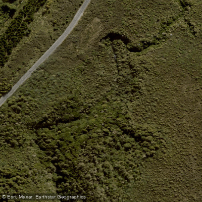
Mangatepopo Stream
- Boat Ramps
- 0
- Access Points
- 0
- Campsites
- 1
The Mangatepopo Stream drains from Mt Tongariro in Tongariro National Park, Central North Island, flowing near State Highway 47 between Turangi and National Park. The Outdoor Pursuits Centre (OPC), situated near Ketetahi, has historically used the stream for outdoor education activities, including single-tube trips on the upper section and gorge trips through the Mangatepopo Gorge.
The most critical safety consideration for anyone paddling the Mangatepopo Gorge is a Genesis Energy weir structure within the gorge. This man-made structure creates a powerful hydraulic at its base — a recirculating current capable of trapping swimmers and paddlers underwater. This hazard has been associated with fatal drowning incidents and must be treated with extreme caution. Any paddler considering the gorge section should be fully aware of this structure's location and the severe danger it presents.
The stream flows through a valley shaped by successive volcanic lava flows from Ngauruhoe, the youngest of which date to 1949 and 1954. The upper valley contains Soda Springs, a cold-water feature that emerges beneath an old lava flow. The surrounding landscape is characteristic of an active volcanic environment within Tongariro National Park.
Mangatepopo Hut, situated at 1190m altitude in the valley, provides accommodation for those on the Tongariro Northern Circuit or Alpine Crossing, and could serve as a base for those exploring the upper stream area. The hut operates on a seasonal fee structure through the Department of Conservation.
Given the documented fatal incidents associated with the gorge weir, and the lack of well-established paddling routes, access points, and suitable flow guidance, paddlers should exercise significant caution and conduct thorough on-the-ground research before attempting any section of this stream.
Water access, boat ramps & amenities
Learn how to get on Mangatepopo Stream. Uncover great paddling access points, boat ramps, and all the facilities you need for an unforgettable day on the water. Some locations shown may border or include private property. Always check property boundaries and applicable regulations before visiting. PaddleWays's Public & Private Land layer can help you plan your access with confidence.
Paddle smarter with real-time insights
Whether you're en route and conditions shift or you're looking for the best spot based on current flows, we enable you to make informed decisions on the fly.







Manawatū Whanganui licenses and regulations
No licenses or regulations available for Manawatū Whanganui.
Find Places to Paddle

Over 400,000 Places to Paddle
Every user gets free access to launch points, boat ramps, and public property parcels.


Water and weather conditions (10 day forecast)
See the best times to paddle Mangatepopo Stream and check the forecast before you go.
No forecast data available.
Paddling near Mangatepopo Stream

Whanganui River
Ōngarue River
Waikawau Beach
Whakapapa River
Kiritehere Beach
Whakapapanui Stream
Mōkau River
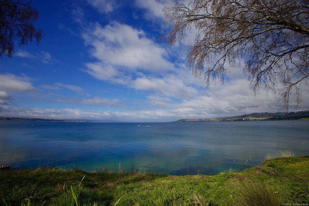
Lake Taupō
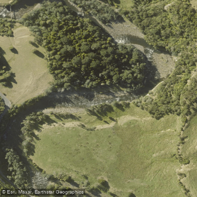
Manganuioteao River
Explore Manawatū Whanganui waters
Top paddling waters
No waters available right now.
Popular Cities
Loading popular cities...
Explore near Mangatepopo Stream
Access points
Nearby waters
More in Manawatū Whanganui

Smarter Paddling Starts in the App.
Paddleways gives you everything you need to plan smarter, paddle better, and own every trip from first launch to takeout.