Pelorus Sound / Te Hoiere
- Saltwater
- Sound
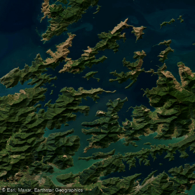
Pelorus Sound / Te Hoiere
- Saltwater
- Sound
- Sq. miles
- 116
- Boat Ramps
- 1
- Access Points
- 0
- Campsites
- 10
Pelorus Sound / Te Hoiere is the largest of the Marlborough Sounds, a complex of flooded river valleys at the top of New Zealand's South Island. It is a coastal saltwater sound, characterized by a long, winding main waterway stretching approximately 55 kilometers south from Cook Strait, with a highly indented shoreline of about 380 kilometers. The sound features numerous smaller arms and inlets, including Tennyson Inlet, Kenepuru Sound, and the Crail/Clova/Beatrix Bay areas, creating a vast network of calm, green waterways. Access for paddlers is primarily by boat from Havelock, which sits at the head of the sound, or from road access points at Rai Valley for Pelorus Sound and Linkwater for Kenepuru Sound. Specific launch sites like Jacobs Bay have experienced infrastructure damage, requiring beach access only, and paddlers must check local road conditions for closures before traveling. The sound is calm and quiet, ideal for cruising and kayaking, with a remote character as many areas are inaccessible by road. The Marlborough Sounds region has a generally mild climate, but weather conditions on the water can change rapidly, necessitating careful checking of marine forecasts and adequate equipment. Significant boat traffic includes the Pelorus Express mail boat, which operates three times weekly from Havelock, and other charter launches and water taxis, so paddlers must maintain awareness. Key sights include marine farms, notably for mussels, and the protected Maud Island (Te Hoiere), a 310-hectare nature reserve off-limits to the public. Wildlife such as dolphins can be spotted. There are few facilities directly on the water, with services concentrated in Havelock. Paddlers must treat or boil any water collected from land sources. The area holds cultural significance for the local Ngāti Kuia iwi, whose traditions name the sound. Drone use on public conservation land requires a permit from the Department of Conservation.
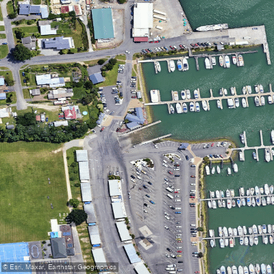
Water access, boat ramps & amenities
Learn how to get on Pelorus Sound / Te Hoiere. Uncover great paddling access points, boat ramps, and all the facilities you need for an unforgettable day on the water. Some locations shown may border or include private property. Always check property boundaries and applicable regulations before visiting. PaddleWays's Public & Private Land layer can help you plan your access with confidence.
Paddle smarter with real-time insights
Whether you're en route and conditions shift or you're looking for the best spot based on current flows, we enable you to make informed decisions on the fly.







Marlborough licenses and regulations
No licenses or regulations available for Marlborough.
Find Places to Paddle

Over 400,000 Places to Paddle
Every user gets free access to launch points, boat ramps, and public property parcels.


Tides, wind & water conditions (10 day forecast)
On open water, wind and tide matter as much as the weather. See the best times to paddle Pelorus Sound / Te Hoiere and check the marine forecast before you launch.
Loading tide predictions…
Paddling near Pelorus Sound / Te Hoiere
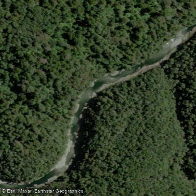
Te Hoiere / Pelorus River
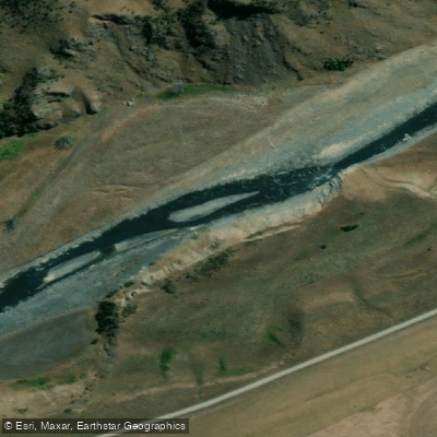
Awatere River
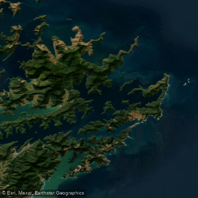
Queen Charlotte Sound / Tōtaranui
Kaituna River
Rai River
Maitai River
Taylor River
Te Moana-o-Raukawa / Cook Strait
Pelorus River
Explore Marlborough waters
Top paddling waters
No waters available right now.
Popular Cities
Loading popular cities...
Explore near Pelorus Sound / Te Hoiere
Access points
Nearby waters
More in Marlborough

Smarter Paddling Starts in the App.
Paddleways gives you everything you need to plan smarter, paddle better, and own every trip from first launch to takeout.