Te Hoiere / Pelorus River
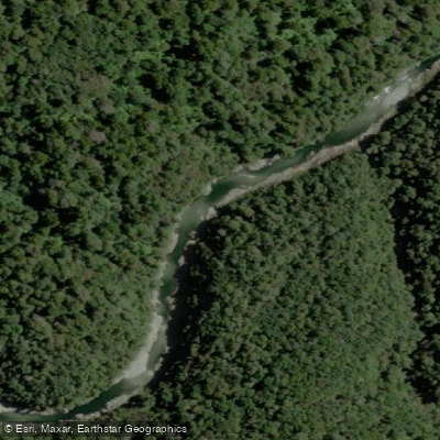
Te Hoiere / Pelorus River
- Boat Ramps
- 0
- Access Points
- 0
- Campsites
- 3
Te Hoiere / Pelorus River runs from beech-clad headwaters in the northern South Island down through a dramatic rocky gorge cut between thick native forest, eventually emptying into the Te Hoiere/Havelock Estuary near the town of Havelock, situated between Nelson and Blenheim at the top of the South Island. The river is renowned for its crystal-clear water, through which rocks and roots on the bottom are visible many metres down. The upper reaches above Pelorus Bridge carry a whitewater character, while the lower sections transition to more scenic, calmer paddling.
For those seeking a multi-day packraft trip, two main put-in options exist above Pelorus Bridge. The first involves parking at Pelorus Bridge and walking up the track alongside the river before putting in at a chosen point. The second starts from the Hackett carpark in the Aniseed Valley near Richmond, with an optional overnight at Roebuck Hut (a DOC hut requiring one hut ticket). From Roebuck Hut, the river can be paddled to Pelorus Bridge in approximately two days, with Middy Creek and Captain Creek Huts available as overnight stops along the way. All rapids on this upper section can be portaged, and most are readable from the boat. In low flows the top section becomes shallow and scratchy; higher water changes the character of the river considerably.
The lower river, downstream from Pelorus Bridge toward Havelock, is the focus of guided kayak tours and is described as suitable for all experience levels, including families. This section passes through the gorge that was used as a filming location for The Hobbit: The Desolation of Smaug. The river continues through Canvastown, where the Wakamarina River joins, and eventually spreads into a delta before reaching the estuary. The lower tidal section near Havelock can be explored by small boat.
Swimming and kayaking are most popular in summer, though the mild winters relative to other parts of the South Island make year-round paddling feasible. The Pelorus Bridge campground, operated by DOC, provides a base with camping facilities, swimming holes, and walking trails. A rare population of long-tailed bats, New Zealand's only native land mammal, inhabits the area around the river. Access points along the lower river include Daltons Bridge, Canvastown, and various points off Te Hoiere Road and SH6.
Water access, boat ramps & amenities
Learn how to get on Te Hoiere / Pelorus River. Uncover great paddling access points, boat ramps, and all the facilities you need for an unforgettable day on the water. Some locations shown may border or include private property. Always check property boundaries and applicable regulations before visiting. PaddleWays's Public & Private Land layer can help you plan your access with confidence.
Paddle smarter with real-time insights
Whether you're en route and conditions shift or you're looking for the best spot based on current flows, we enable you to make informed decisions on the fly.







Marlborough licenses and regulations
No licenses or regulations available for Marlborough.
Find Places to Paddle

Over 400,000 Places to Paddle
Every user gets free access to launch points, boat ramps, and public property parcels.


Water and weather conditions (10 day forecast)
See the best times to paddle Te Hoiere / Pelorus River and check the forecast before you go.
Pelorus River at Bryants
Paddling near Te Hoiere / Pelorus River
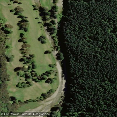
Maitai River
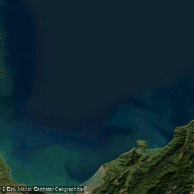
Tasman Bay / Te Tai-o-Aorere
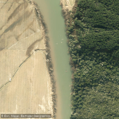
Motueka River
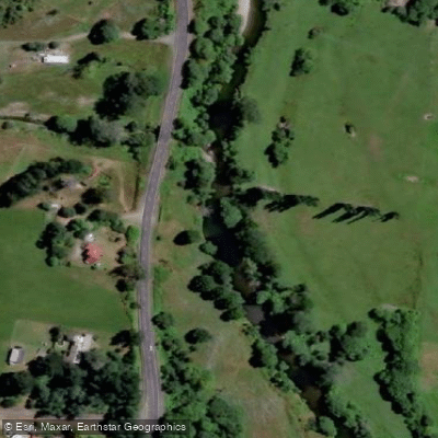
Rai River
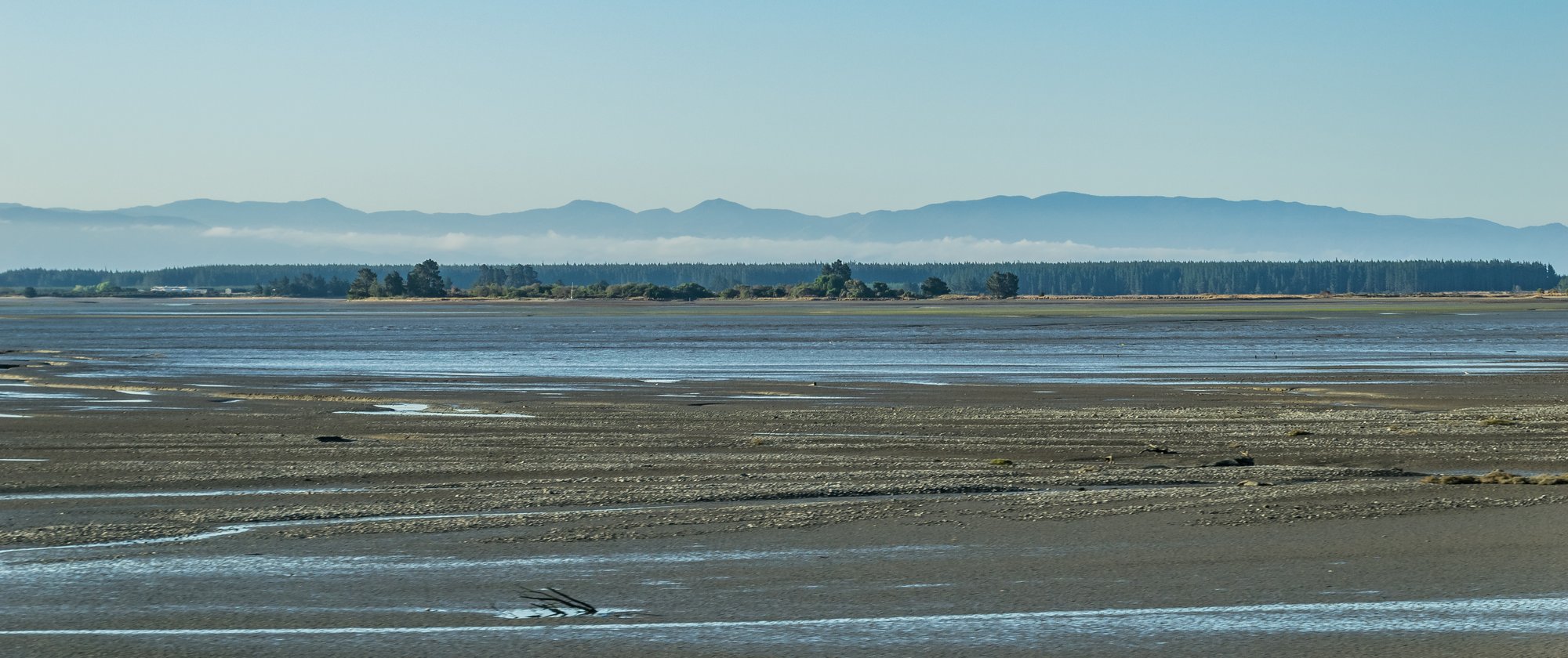
Waimea Inlet
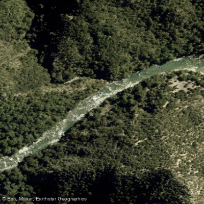
Waingaro River
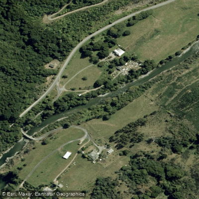
Wairoa River
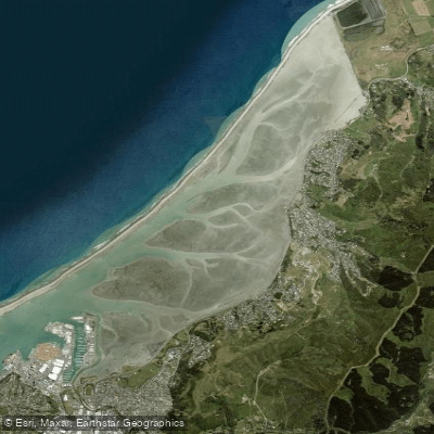
Nelson Haven
Kaituna River
Explore Marlborough waters
Top paddling waters
No waters available right now.
Popular Cities
Loading popular cities...
Explore near Te Hoiere / Pelorus River

Smarter Paddling Starts in the App.
Paddleways gives you everything you need to plan smarter, paddle better, and own every trip from first launch to takeout.