Awatere River
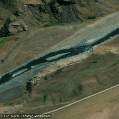
Awatere River
- Boat Ramps
- 0
- Access Points
- 0
- Campsites
- 2
The Awatere River in Marlborough, New Zealand offers two main paddling sections, both suited to paddlers with solid whitewater skills. The upper section, known as the Upcott Gorge run, is approximately 23km long and is characterized by bouldery Class II to II+ rapids with at least one Class III rapid. The run has a constant gradient with no significant pools between rapids, meaning swimmers will typically require self or team rescue. This continuous nature makes it unsuitable for new paddlers or groups of mixed ability; solid Class II+ paddlers with good rescue skills are the recommended minimum. Budget three to five hours for this section depending on flows and ability.
The lower section, from Mt Gladstone Bridge to Awapiri, covers roughly 20km and runs at a similar II/II+ grade, with three to four hours being a reasonable time estimate. This section is run occasionally by hardshell kayakers, and packrafters are advised to err on the side of caution when interpreting kayaker-oriented descriptions.
Access to the river is via Awatere Valley Road, which connects to State Highway 1 just south of Blenheim. The Awapiri gauge on the Awatere River is the recommended tool for assessing flows before a trip. The region is generally dry, so suitable flows are most reliably found during spring snowmelt conditions or following periods of rain. For the Upcott Gorge section, flows above 12 cumecs are considered good; at higher flows, waves and holes become significantly larger, as do the waves off the bluffs. Packrafters are advised to use the lower end of flow brackets recommended for kayakers.
The surrounding Awatere Valley sits beneath the peak of Mt. Tapuae-o-Uenuku, giving the river corridor a distinctive high-country character. The river flows predominantly over open land, which, combined with the valley's exposure, can produce strong winds that would affect paddling conditions.
Water access, boat ramps & amenities
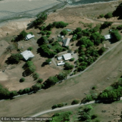
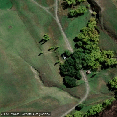
Learn how to get on Awatere River. Uncover great paddling access points, boat ramps, and all the facilities you need for an unforgettable day on the water. Some locations shown may border or include private property. Always check property boundaries and applicable regulations before visiting. PaddleWays's Public & Private Land layer can help you plan your access with confidence.
Paddle smarter with real-time insights
Whether you're en route and conditions shift or you're looking for the best spot based on current flows, we enable you to make informed decisions on the fly.







Marlborough licenses and regulations
No licenses or regulations available for Marlborough.
Find Places to Paddle

Over 400,000 Places to Paddle
Every user gets free access to launch points, boat ramps, and public property parcels.


Water and weather conditions (10 day forecast)
See the best times to paddle Awatere River and check the forecast before you go.
Awatere River at River Mouth
All Flow Stations
Paddling near Awatere River
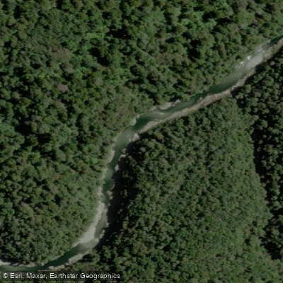
Te Hoiere / Pelorus River
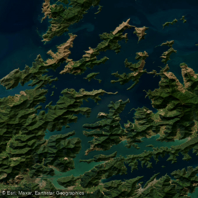
Pelorus Sound / Te Hoiere
Maitai River
Avon River
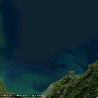
Tasman Bay / Te Tai-o-Aorere
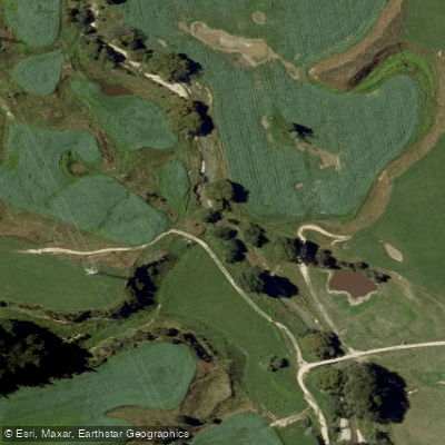
Kaituna River
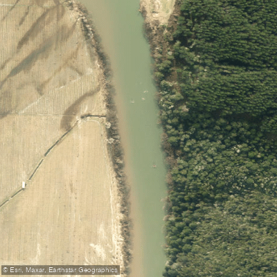
Motueka River
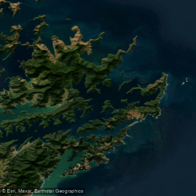
Queen Charlotte Sound / Tōtaranui
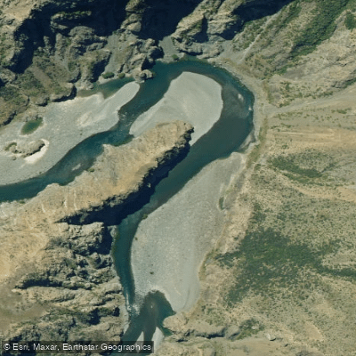
Waiau Toa / Clarence River
Explore Marlborough waters
Top paddling waters
No waters available right now.
Popular Cities
Loading popular cities...
Explore near Awatere River

Smarter Paddling Starts in the App.
Paddleways gives you everything you need to plan smarter, paddle better, and own every trip from first launch to takeout.