Taylor River
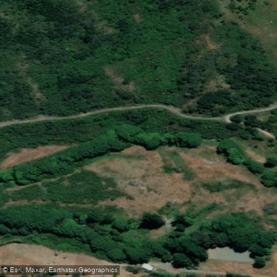
Taylor River
- Boat Ramps
- 0
- Access Points
- 0
- Campsites
- 1
The Taylor River flows across the Wairau Plain into Blenheim, in the Marlborough region of New Zealand's South Island, where it joins the Ōpaoa River. The river is explicitly designated as suitable for canoeing and kayaking, making it one of the more accessible flatwater paddling options in the region.
Access to the river is available from multiple points along its length, including Nelson Street (State Highway 6), Henry Street, Monro Street, and Beaver Road. The Taylor River Reserve, which encompasses the waterway, extends from Riverside Park to Brayshaw Park, with the full trail corridor reaching from Blenheim's town centre up to Taylor Dam Reserve near the Wither Hills Mountain Bike Park. The paddleable stretch runs alongside approximately 4.6 kilometres of shared-use concrete paths on both banks.
The river functions as part of Blenheim's flood control system, and periodic dredging is carried out to maintain flood-carrying capacity. Sediment build-up from weather events has historically required management, which is worth noting when planning a trip. A weed-cutting boat also operates on the river, with cutting prohibited during the whitebait spawning season from 1 February through the end of April.
The corridor is a shared-use area with significant foot and bicycle traffic on the adjacent paths, so paddlers should expect activity along the banks. The reserve is also a designated off-leash dog exercise area, meaning dogs and their owners are a regular presence. Amenities within the reserve include public toilets available 24 hours and at least one wharf or jetty. The character of the paddling is low-key and urban, running through a managed reserve environment with shady trees and multiple river access spots noted along the route.
The overall grade of the trail corridor is described as easy, which reflects the gentle, flat nature of the waterway. Given its urban setting and flood-control management, this is a calm, accessible paddle suited to recreational paddlers rather than those seeking technical whitewater.
Water access, boat ramps & amenities
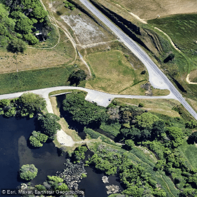
Learn how to get on Taylor River. Uncover great paddling access points, boat ramps, and all the facilities you need for an unforgettable day on the water. Some locations shown may border or include private property. Always check property boundaries and applicable regulations before visiting. PaddleWays's Public & Private Land layer can help you plan your access with confidence.
Paddle smarter with real-time insights
Whether you're en route and conditions shift or you're looking for the best spot based on current flows, we enable you to make informed decisions on the fly.







Marlborough licenses and regulations
No licenses or regulations available for Marlborough.
Find Places to Paddle

Over 400,000 Places to Paddle
Every user gets free access to launch points, boat ramps, and public property parcels.


Water and weather conditions (10 day forecast)
See the best times to paddle Taylor River and check the forecast before you go.
Murphys Creek at Nelson Street
All Flow Stations
Paddling near Taylor River
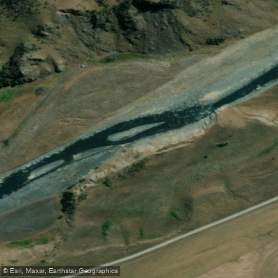
Awatere River
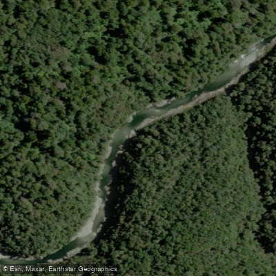
Te Hoiere / Pelorus River
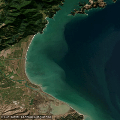
Te Koko-o-Kupe / Cloudy Bay
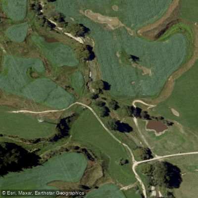
Kaituna River
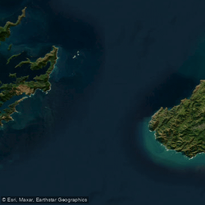
Te Moana-o-Raukawa / Cook Strait
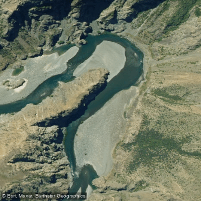
Waiau Toa / Clarence River
Avon River
Clifford Bay
Maitai River
Explore Marlborough waters
Top paddling waters
No waters available right now.
Popular Cities
Loading popular cities...
Explore near Taylor River

Smarter Paddling Starts in the App.
Paddleways gives you everything you need to plan smarter, paddle better, and own every trip from first launch to takeout.