Rai River
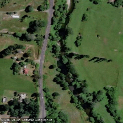
Rai River
- Boat Ramps
- 0
- Access Points
- 0
- Campsites
- 0
The Rai River is located in the Marlborough region of New Zealand's South Island, flowing into the Pelorus River. It is accessible from Havelock to the south or Nelson to the north, making it a relatively convenient destination. The river has been run at Grade 2, with flows ranging from low to high depending on conditions.
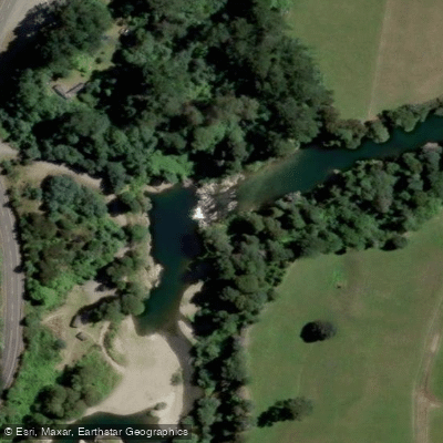
Rai Falls, located approximately 1.5 km from Pelorus Bridge, is a notable feature on the river and serves as one of the primary access points, with good parking available opposite the falls and an upstream walking track beginning near the parking area. Other vehicle access points include Bulford Bridge, where parking is available on the downstream side of the gravel road, Carluke Bridge with parking over the bridge on the downstream side, Brown Stream Reserve which offers both parking and camping, and a point on SH6 with safe parking near a house and a track to the river. The Tunakino Valley Bridge provides vehicle track access on the upstream side.
Water depth and speed can vary quickly on the Rai, so paddlers should be prepared for changing conditions. The river's flow is monitored at the Rai Falls gauge station, which provides real-time flow rate, water level, and rainfall data useful for trip planning.
The river passes through scenic country and features permanent pools, areas with sunken trees, and sections where the river cuts against banks, with willows and rock embankments present in places. The Rai also receives its tributary the Opouri River, which adds to the overall drainage of the system.
Water access, boat ramps & amenities
Learn how to get on Rai River. Uncover great paddling access points, boat ramps, and all the facilities you need for an unforgettable day on the water. Some locations shown may border or include private property. Always check property boundaries and applicable regulations before visiting. PaddleWays's Public & Private Land layer can help you plan your access with confidence.
Paddle smarter with real-time insights
Whether you're en route and conditions shift or you're looking for the best spot based on current flows, we enable you to make informed decisions on the fly.







Marlborough licenses and regulations
No licenses or regulations available for Marlborough.
Find Places to Paddle

Over 400,000 Places to Paddle
Every user gets free access to launch points, boat ramps, and public property parcels.


Water and weather conditions (10 day forecast)
See the best times to paddle Rai River and check the forecast before you go.
Rai River at Rai Falls
Paddling near Rai River
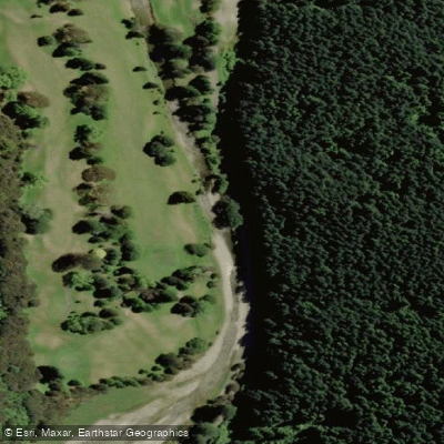
Maitai River
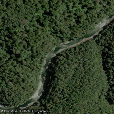
Te Hoiere / Pelorus River
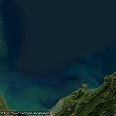
Tasman Bay / Te Tai-o-Aorere
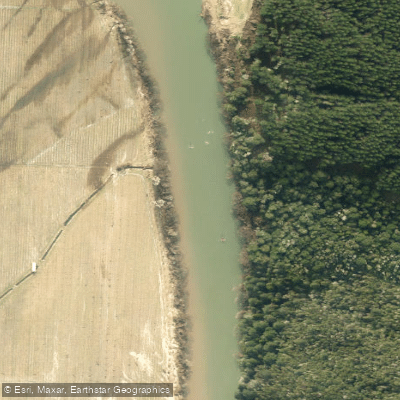
Motueka River
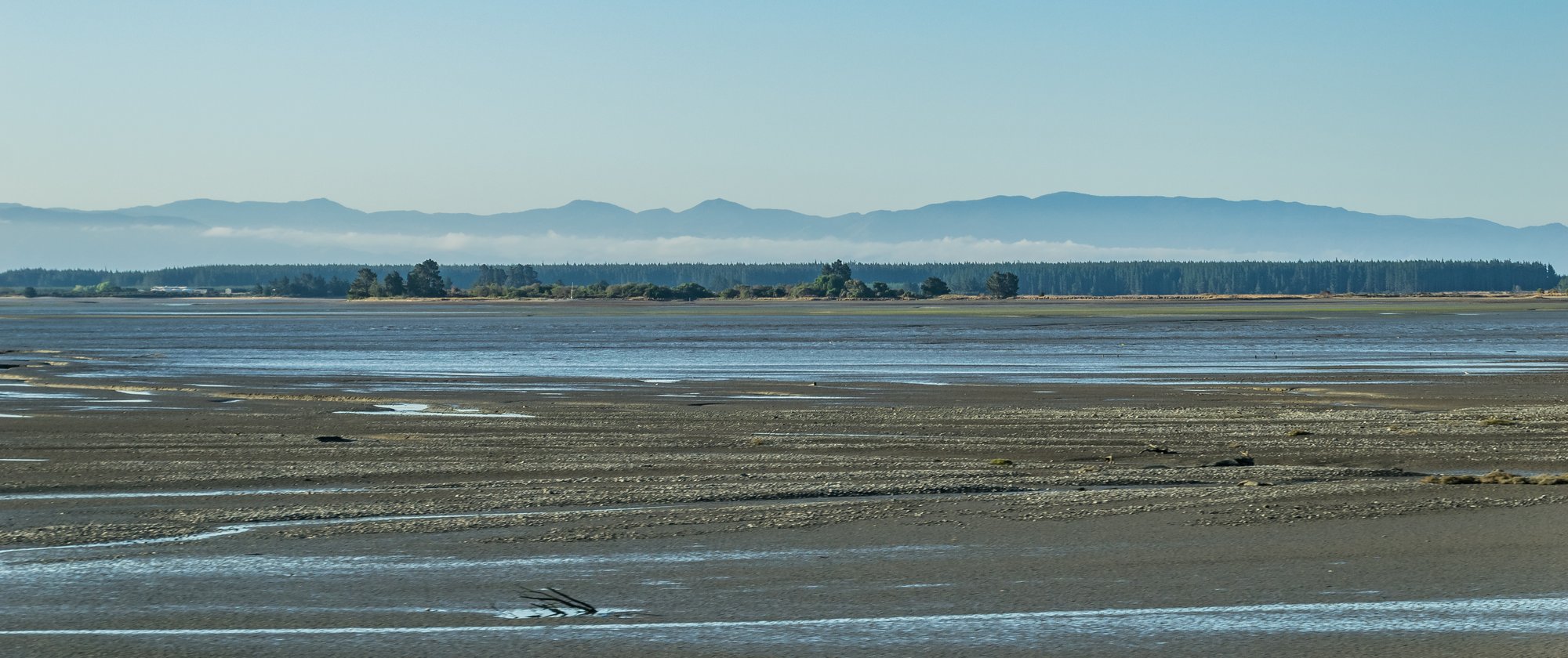
Waimea Inlet
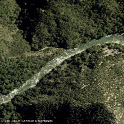
Waingaro River
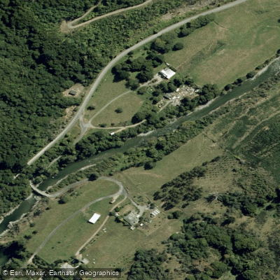
Wairoa River
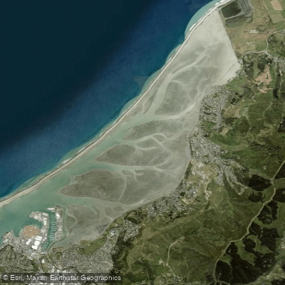
Nelson Haven
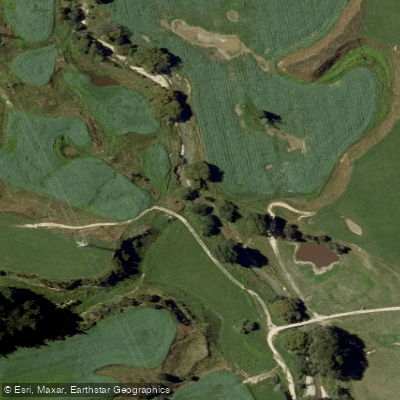
Kaituna River
Explore Marlborough waters
Top paddling waters
No waters available right now.
Popular Cities
Loading popular cities...
Explore near Rai River

Smarter Paddling Starts in the App.
Paddleways gives you everything you need to plan smarter, paddle better, and own every trip from first launch to takeout.