Waimea Inlet
- Saltwater
- Inlet
Waimea Inlet
- Saltwater
- Inlet
- Sq. miles
- 13
- Boat Ramps
- 1
- Access Points
- 0
- Campsites
- 2
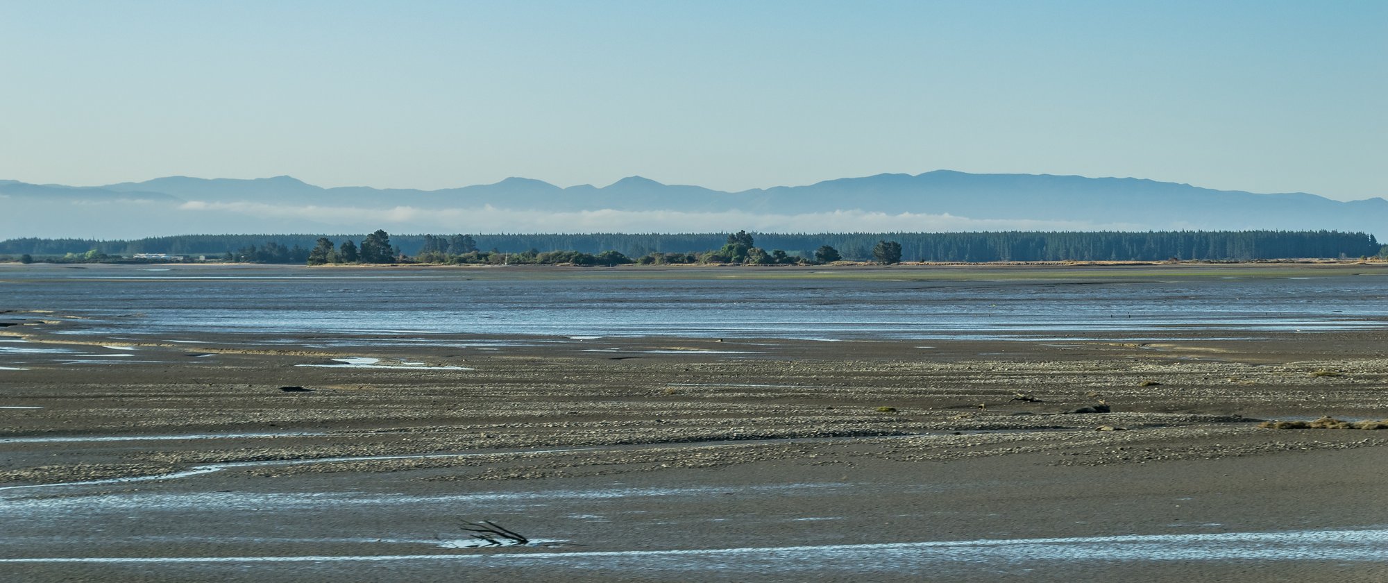
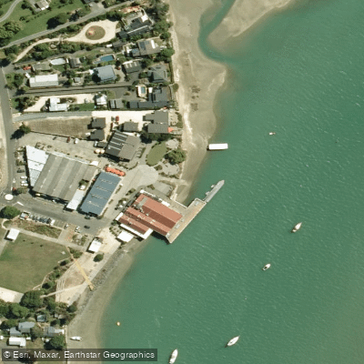
Waimea Inlet is an extensive, shallow bar-built estuary open to Tasman Bay at both its western end near Mapua and its eastern end near Nelson, with Moturoa/Rabbit Island separating these openings. This geography creates a large, enclosed saltwater environment popular for sea kayaking. The inlet features ten islands within its bounds, with Rabbit Island catering to day visitors and offering a back beach area suitable for waterskiing and kayaking, though the water there is only deep enough for these activities for a limited time relative to the tide. Key public access points for paddlers include Monaco Pier and the area around Mapua Wharf, with the Raumanuka Scenic Reserve Walk following the edge of the inlet near Mapua providing potential shoreline access. The Great Taste Trail cycleway crosses the Waimea River via a suspension bridge to Rabbit Island, offering another potential route for reaching the water. Paddling here requires careful attention to the tides, as knowledge of them is essential for navigation and safety. The inlet is characterized by channels and expansive intertidal mudflats, which become exposed at low tide, significantly altering the navigable area and creating a complex network of waterways. This environment supports significant ornithological interest, with fifty species of waterfowl recorded, including northern hemisphere migratory birds present in summer; bird watching is best on the north-eastern corner of Bells Island at high tide during the summer season. The overall paddling experience is one of exploring a broad, sheltered estuary system with views across to the surrounding farmland and mountains, though users share the space with other motorized activities like waterskiing. The aesthetic is defined by its wetland habitat, important for shorebirds, and its connection to the charming seaside villages of Mapua and Monaco.
Water access, boat ramps & amenities
Learn how to get on Waimea Inlet. Uncover great paddling access points, boat ramps, and all the facilities you need for an unforgettable day on the water. Some locations shown may border or include private property. Always check property boundaries and applicable regulations before visiting. PaddleWays's Public & Private Land layer can help you plan your access with confidence.
Paddle smarter with real-time insights
Whether you're en route and conditions shift or you're looking for the best spot based on current flows, we enable you to make informed decisions on the fly.







Tasman licenses and regulations
No licenses or regulations available for Tasman.
Find Places to Paddle

Over 400,000 Places to Paddle
Every user gets free access to launch points, boat ramps, and public property parcels.


Tides, wind & water conditions (10 day forecast)
On open water, wind and tide matter as much as the weather. See the best times to paddle Waimea Inlet and check the marine forecast before you launch.
Loading tide predictions…
Paddling near Waimea Inlet
Te Hoiere / Pelorus River
Maitai River
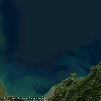
Tasman Bay / Te Tai-o-Aorere
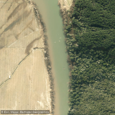
Motueka River
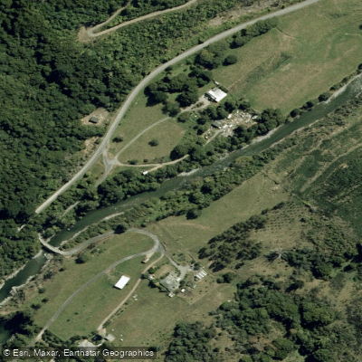
Wairoa River
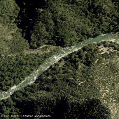
Waingaro River
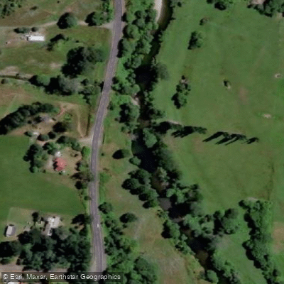
Rai River
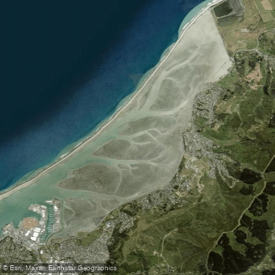
Nelson Haven
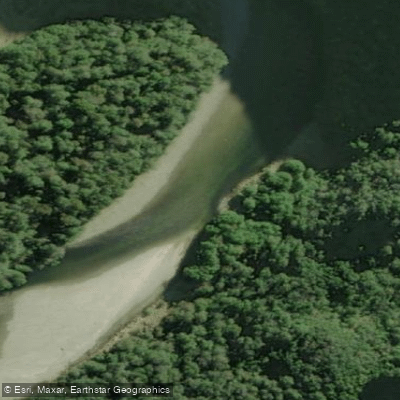
Karamea River
Explore Tasman waters
Top paddling waters
No waters available right now.
Popular Cities
Loading popular cities...
Explore near Waimea Inlet

Smarter Paddling Starts in the App.
Paddleways gives you everything you need to plan smarter, paddle better, and own every trip from first launch to takeout.