Bay of Islands
- Saltwater
- Bay
Bay of Islands
- Saltwater
- Bay
- Sq. miles
- 102
- Boat Ramps
- 3
- Access Points
- 2
- Campsites
- 6
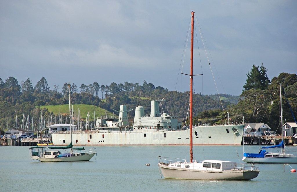
The Bay of Islands is a vast natural harbour on the northern tip of New Zealand's North Island, embracing 144 islands. It is a coastal saltwater bay with a rich cultural history as a landing place for Māori migration and the site of the Treaty of Waitangi. The towns of Paihia and Russell are the primary hubs for paddlers, with described as the perfect place to start an adventure. Common launch points include the Waitangi Estuary, near Paihia, and Long Beach, accessible from Russell via a 20-minute walk over a hill. A popular and well-documented day trip is a route from Waitangi to Haruru Falls, covering a distance of approximately 15 kilometers and taking around five hours with stops. This route explores inland waterways. The water throughout the bay is exceptionally clear. Beaches vary from soft sand to gravel. The region is known for strong UV exposure, requiring diligent sun protection regardless of cloud cover. Wildlife sightings can include rays near shore and penguins, though the latter are not commonly seen alive by paddlers. The area experiences significant boat traffic, including cruise ship tenders and tour boats, particularly around the Waitangi jetty and the main channels between Paihia and Russell. Paddlers should be prepared for this traffic and potential crossing of these channels. The bay's many islands create a mix of open, exposed crossings and sheltered lagoons where wave diffraction patterns can be observed. Facilities for paddlers include tour operators based in Paihia offering guided trips and equipment rental.
Water access, boat ramps & amenities
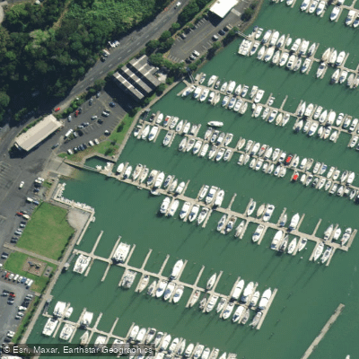
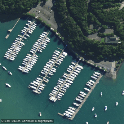
Learn how to get on Bay of Islands. Uncover great paddling access points, boat ramps, and all the facilities you need for an unforgettable day on the water. Some locations shown may border or include private property. Always check property boundaries and applicable regulations before visiting. PaddleWays's Public & Private Land layer can help you plan your access with confidence.
Paddle smarter with real-time insights
Whether you're en route and conditions shift or you're looking for the best spot based on current flows, we enable you to make informed decisions on the fly.







Northland licenses and regulations
No licenses or regulations available for Northland.
Find Places to Paddle

Over 400,000 Places to Paddle
Every user gets free access to launch points, boat ramps, and public property parcels.


Tides, wind & water conditions (10 day forecast)
On open water, wind and tide matter as much as the weather. See the best times to paddle Bay of Islands and check the marine forecast before you launch.
Loading tide predictions…
Paddling near Bay of Islands
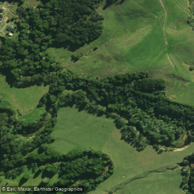
Waitangi River
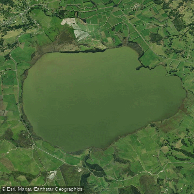
Lake Ōmāpere
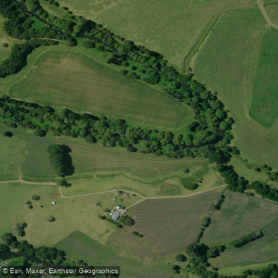
Mangakahia River
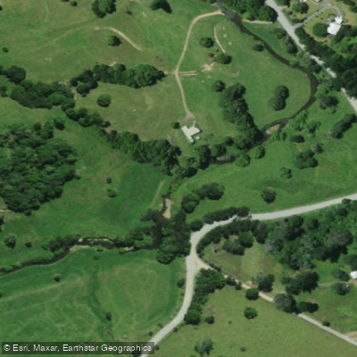
Pupuke River
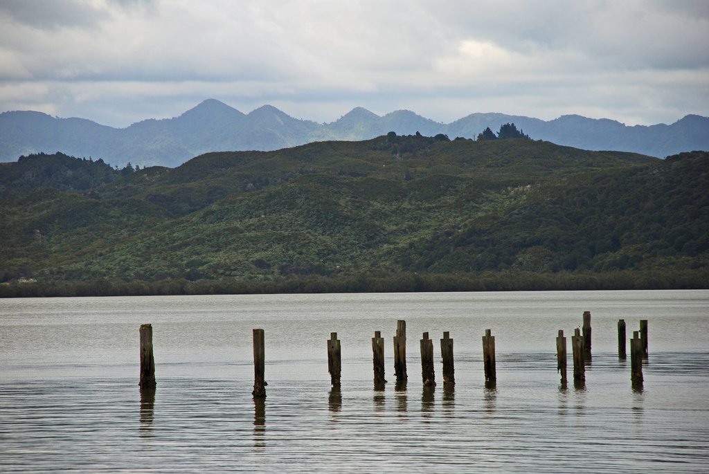
Hokianga Harbour
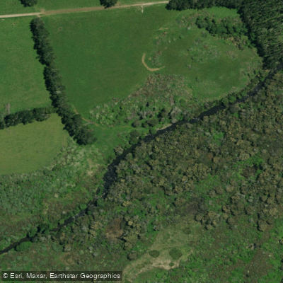
Punakitere River
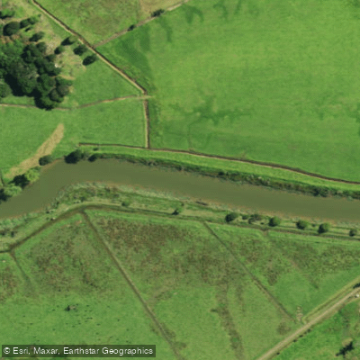
Waimā River
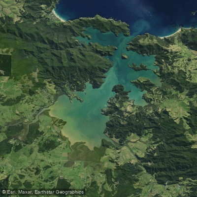
Whangaroa Harbour
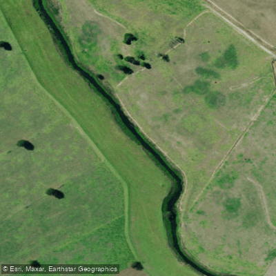
Kaihu River
Explore Northland waters
Top paddling waters
No waters available right now.
Popular Cities
Loading popular cities...
Explore near Bay of Islands
Access points
Nearby waters
More in Northland

Smarter Paddling Starts in the App.
Paddleways gives you everything you need to plan smarter, paddle better, and own every trip from first launch to takeout.