Mangakahia River
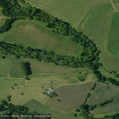
Mangakahia River
- Boat Ramps
- 0
- Access Points
- 0
- Campsites
- 0
The Mangakahia River flows approximately 48 kilometres through the Northland Region of New Zealand's North Island, originating in the Mataraua Forest and eventually joining the Wairua River to form the Wairoa River, roughly halfway between Whangārei and Dargaville. The name Mangakāhia translates from Māori as "stream of the New Zealand passionfruit vine."
The river's character varies considerably along its length. The middle section, spanning around 10 kilometres at an average gradient of 6.9 metres per kilometre (1:146), offers limited paddling opportunity. This stretch is navigable for approximately 4 kilometres when water levels are above normal, after which rapids become too shallow to run. Shingle shoals are a recurring feature and may require portaging. Access to the water is a noted challenge in this section, as the banks are frequently obstructed by fallen willows, and getting a craft down to water level can be difficult unless the lower river is also in a boatable state.
The lower section, approximately 15 kilometres in length, runs at a much gentler gradient of around 2.2 metres per kilometre (1:457) and includes flat water above the dam at Wairua Falls. While this section is large enough for paddling use, access below the falls is described as difficult.
Jet boats make limited use of the middle Mangakahia above Twin Bridges when flows are elevated. The river is generally too shallow and small for motor launches or drift boats under normal conditions, though drift boats could navigate the middle section with some portaging of shallower areas. Paddlers should be aware that water levels significantly affect what is runnable, and the river's accessibility is closely tied to current flow conditions.
Water access, boat ramps & amenities
Learn how to get on Mangakahia River. Uncover great paddling access points, boat ramps, and all the facilities you need for an unforgettable day on the water. Some locations shown may border or include private property. Always check property boundaries and applicable regulations before visiting. PaddleWays's Public & Private Land layer can help you plan your access with confidence.
Paddle smarter with real-time insights
Whether you're en route and conditions shift or you're looking for the best spot based on current flows, we enable you to make informed decisions on the fly.







Northland licenses and regulations
No licenses or regulations available for Northland.
Find Places to Paddle

Over 400,000 Places to Paddle
Every user gets free access to launch points, boat ramps, and public property parcels.


Water and weather conditions (10 day forecast)
See the best times to paddle Mangakahia River and check the forecast before you go.
Mangakahia at Gorge
All Flow Stations
Paddling near Mangakahia River
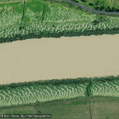
Wairoa River
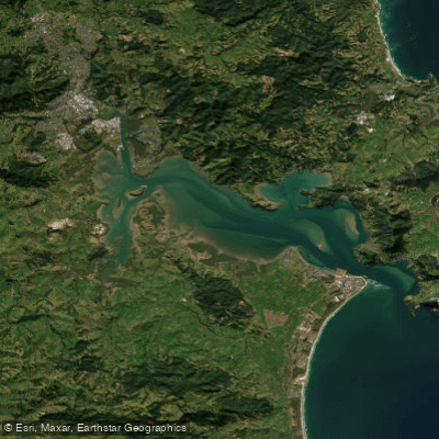
Whangārei Harbour
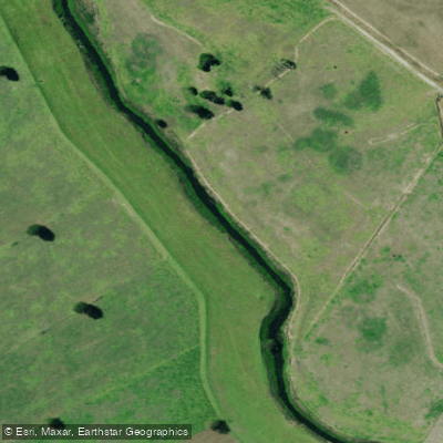
Kaihu River
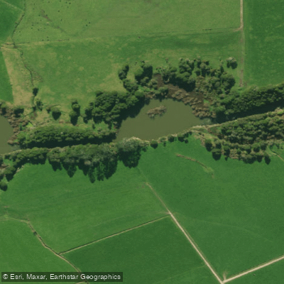
Wairua River
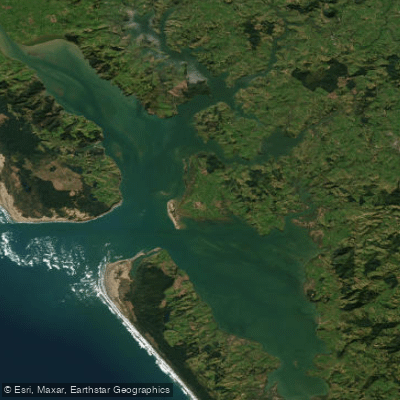
Kaipara Harbour
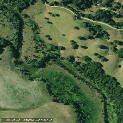
Manganui River
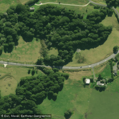
Hakaru River
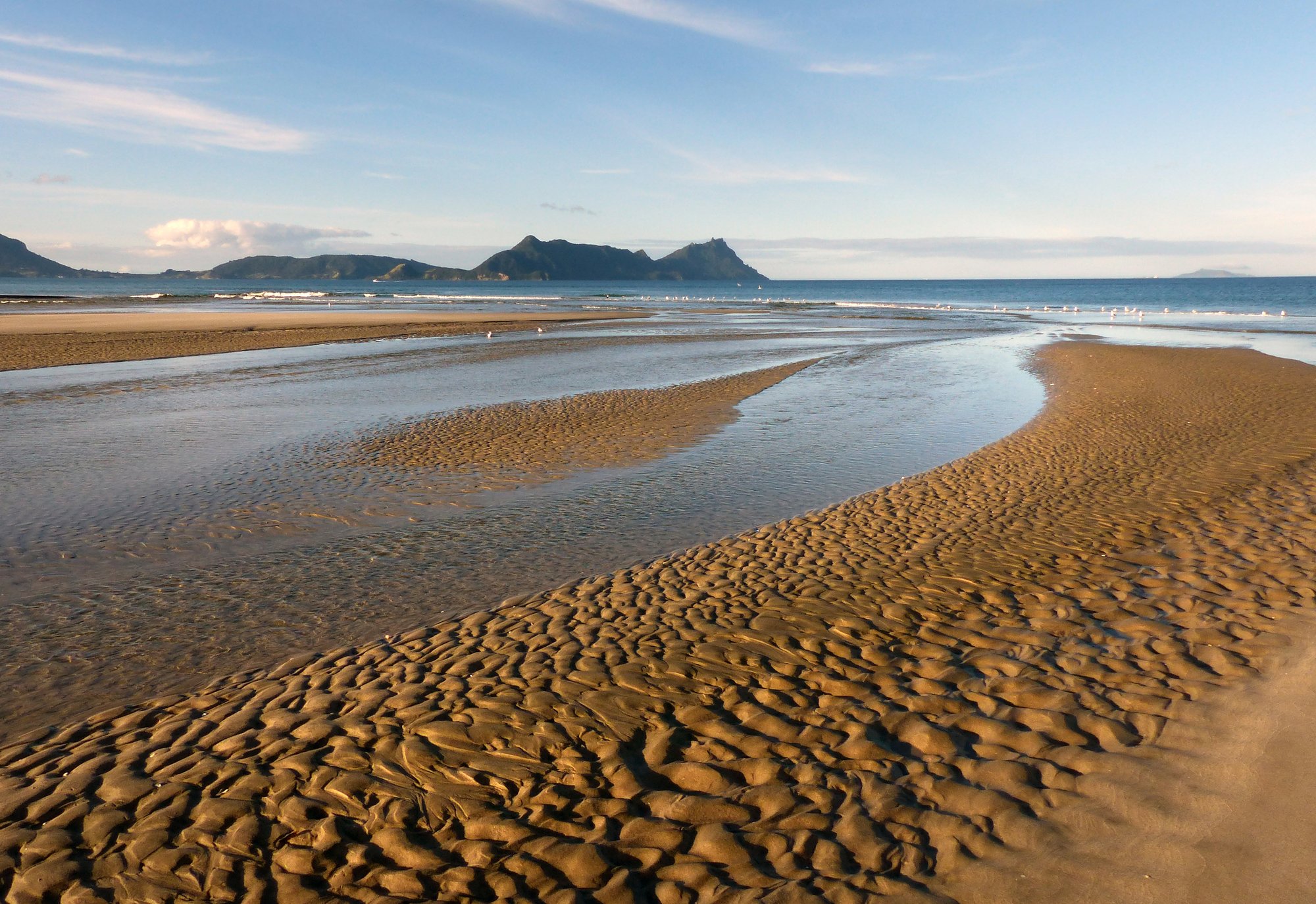
Bream Bay
Waitangi River
Explore Northland waters
Top paddling waters
No waters available right now.
Popular Cities
Loading popular cities...
Explore near Mangakahia River

Smarter Paddling Starts in the App.
Paddleways gives you everything you need to plan smarter, paddle better, and own every trip from first launch to takeout.