Lake Ōmāpere
Lake Ōmāpere
- Boat Ramps
- 0
- Access Points
- 0
- Campsites
- 0
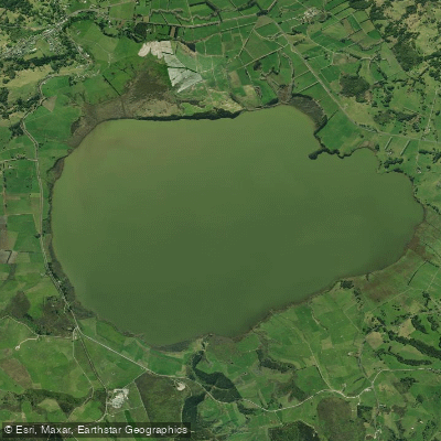
Lake Ōmāpere is located near Kaikohe in Northland and is the region's largest lake at approximately 1,160 to 1,200 hectares. The lake is shallow throughout, with an average depth of 2 metres, a maximum depth of 2.6 metres, and an annual seasonal water level variation of around 1 metre. Its single outflow is the Utakura River, which drains into the Hokianga Harbour. The lake sits at a relatively high elevation and is exposed to open winds, conditions that historically made it a venue for raft races and sailing speed record attempts.
A launching site exists at the lake, and at least one sign was in place there to inform visitors, including notices related to the spread of aquatic weeds. Paddlers should be aware that invasive aquatic plants, including Egeria densa, have been identified as a concern in the lake, and biosecurity precautions around watercraft are relevant here.
The most significant safety and health consideration for paddlers is the lake's history of toxic cyanobacterial blooms (commonly referred to as algal blooms), which are fuelled by excess nutrients entering the water from surrounding farmland. These blooms have been a recurring problem and have rendered fish and eels unsafe to eat. Paddlers should treat any contact with the water with caution and check for bloom advisories before visiting, as cyanobacterial blooms can pose serious health risks.
Lake Ōmāpere holds considerable cultural importance as a taonga (treasure) to Ngāpuhi, and the lake has been vested in the Lake Ōmāpere Trust since 1954. The lake is situated alongside the Twin Coast Cycle Trail, one of New Zealand's designated Great Rides, connecting the Bay of Islands to the Hokianga. The surrounding catchment is a mix of dairy farming, dry stock farming, and lifestyle properties.
Water access, boat ramps & amenities
Learn how to get on Lake Ōmāpere. Uncover great paddling access points, boat ramps, and all the facilities you need for an unforgettable day on the water. Some locations shown may border or include private property. Always check property boundaries and applicable regulations before visiting. PaddleWays's Public & Private Land layer can help you plan your access with confidence.
Paddle smarter with real-time insights
Whether you're en route and conditions shift or you're looking for the best spot based on current flows, we enable you to make informed decisions on the fly.







Northland licenses and regulations
No licenses or regulations available for Northland.
Find Places to Paddle

Over 400,000 Places to Paddle
Every user gets free access to launch points, boat ramps, and public property parcels.


Water and weather conditions (10 day forecast)
See the best times to paddle Lake Ōmāpere and check the forecast before you go.
Lake Omapere at Outlet Wall Staff Gauge
All Flow Stations
Paddling near Lake Ōmāpere
Waitangi River
Hokianga Harbour
Mangakahia River
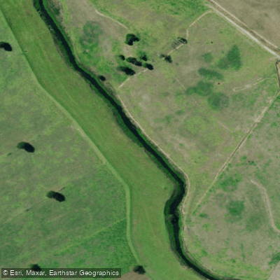
Kaihu River
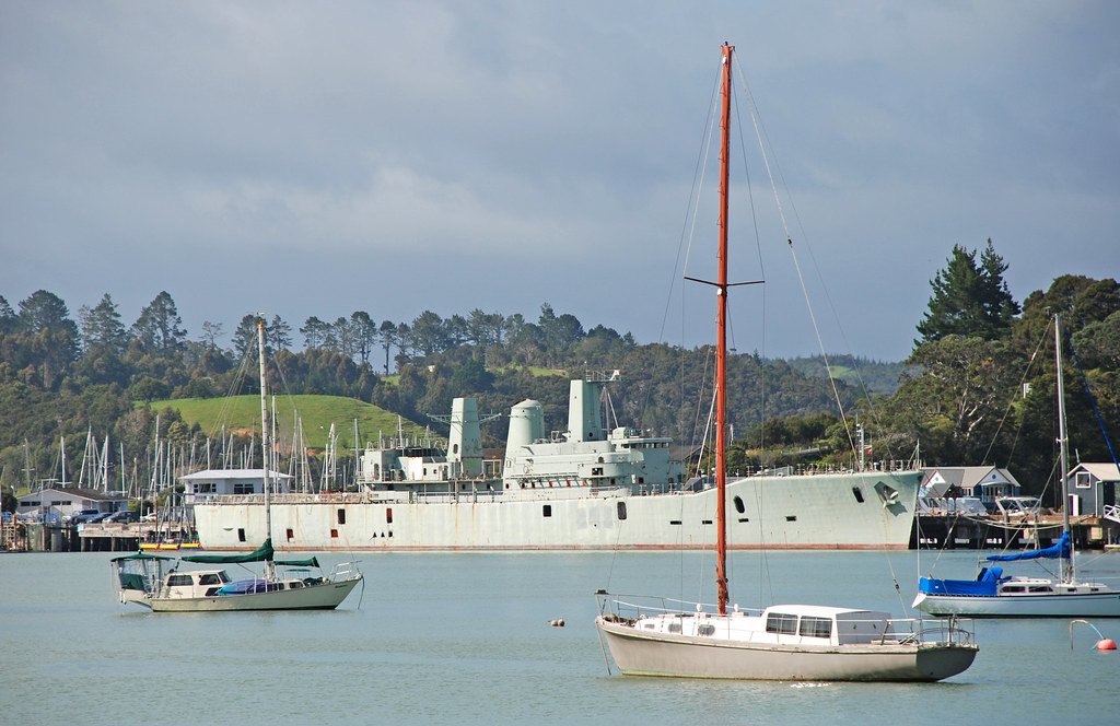
Bay of Islands
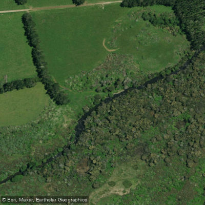
Punakitere River
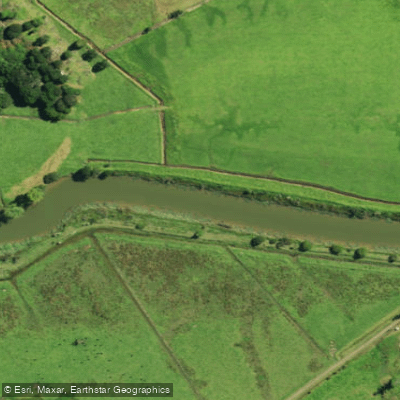
Waimā River
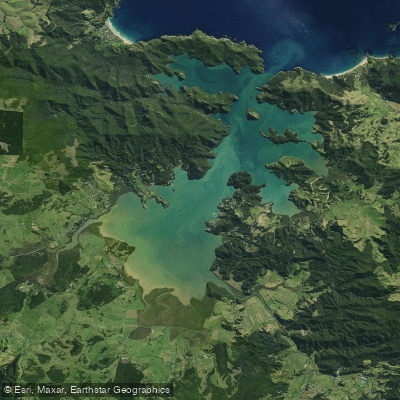
Whangaroa Harbour
Waimamaku River
Explore Northland waters
Top paddling waters
No waters available right now.
Popular Cities
Loading popular cities...
Explore near Lake Ōmāpere

Smarter Paddling Starts in the App.
Paddleways gives you everything you need to plan smarter, paddle better, and own every trip from first launch to takeout.