Whangaroa Harbour
- Saltwater
- Harbor
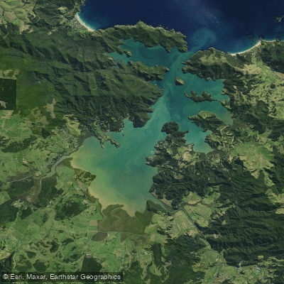
Whangaroa Harbour
- Saltwater
- Harbor
- Sq. miles
- 9.9
- Boat Ramps
- 0
- Access Points
- 1
- Campsites
- 1
Whangaroa Harbour is a large, sheltered inlet on the northern coast of New Zealand's Northland region, formed by rising sea levels flooding ancient river valleys. The scenery is dramatic, characterized by steep volcanic cliffs and crags covered in dense native forest, deep blue waters, and a highly indented coastline with numerous bays and inlets. The harbour entrance is narrow, approximately 300 metres across, and can be difficult to spot from the open coast. Inside, the harbour is known as an all-weather anchorage, offering significant protection. However, conditions at the harbour mouth and just outside can become hazardous for paddlers, especially with an outgoing tide and onshore wind, creating steep, choppy waves in the shallow coastal area. The main settlements providing water access are Totara North on the western side and the township of Whangaroa on the eastern side. A water taxi service operates from Totara North, which can be used for transport or to access remote starting points like Lane Cove. Key landmarks for navigation include Kingfish Lodge, located just inside the harbour entrance on the port side, and the distinctive Duke's Nose rock formation. The harbour's western arm is noted for its lovely anchorage and a nice beach. Facilities for paddlers include the Whangaroa Harbour Water Transport service, the Whangaroa Sportfishing Club, and the Marlin Hotel near the marina. Fuel and water are available at Totara North, and a floating jetty for fuel is located at Radcliffes Bay. The area is remote, with kilometres of wild, untouched land, and many cabins and lodges, like Kingfish Lodge, are only accessible by water. While the harbour interior offers calmer conditions, paddlers must exercise caution regarding tidal currents at the entrance and be prepared for potential strong winds and rough water where the harbour meets the open Pacific Ocean.
Water access, boat ramps & amenities
Learn how to get on Whangaroa Harbour. Uncover great paddling access points, boat ramps, and all the facilities you need for an unforgettable day on the water. Some locations shown may border or include private property. Always check property boundaries and applicable regulations before visiting. PaddleWays's Public & Private Land layer can help you plan your access with confidence.
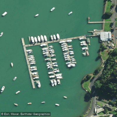
Paddle smarter with real-time insights
Whether you're en route and conditions shift or you're looking for the best spot based on current flows, we enable you to make informed decisions on the fly.







Northland licenses and regulations
No licenses or regulations available for Northland.
Find Places to Paddle

Over 400,000 Places to Paddle
Every user gets free access to launch points, boat ramps, and public property parcels.


Tides, wind & water conditions (10 day forecast)
On open water, wind and tide matter as much as the weather. See the best times to paddle Whangaroa Harbour and check the marine forecast before you launch.
Loading tide predictions…
Paddling near Whangaroa Harbour
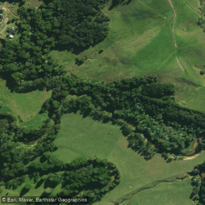
Waitangi River
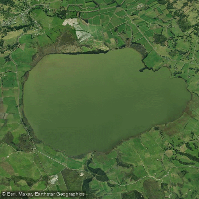
Lake Ōmāpere
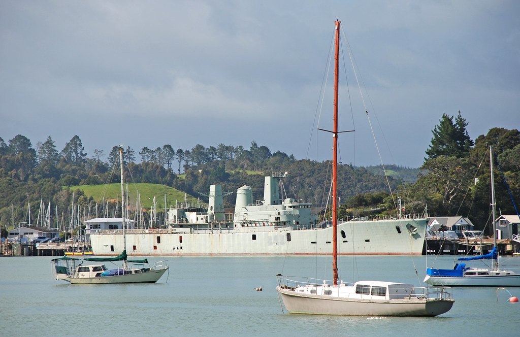
Bay of Islands
Mangakahia River
Pupuke River
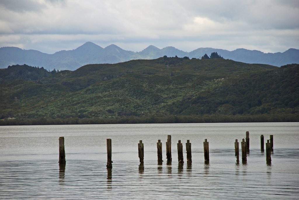
Hokianga Harbour
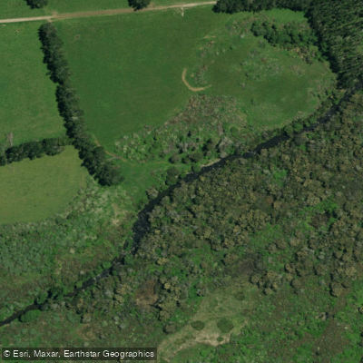
Punakitere River
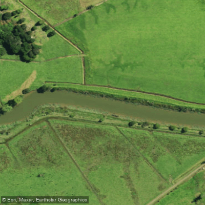
Waimā River
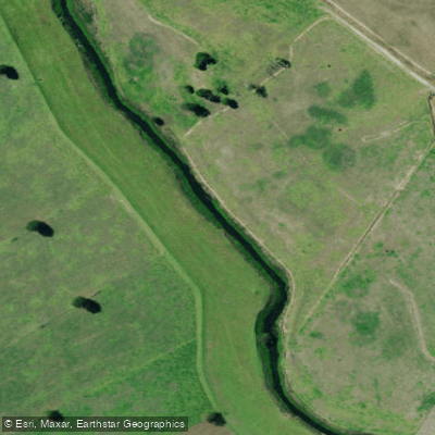
Kaihu River
Explore Northland waters
Top paddling waters
No waters available right now.
Popular Cities
Loading popular cities...
Explore near Whangaroa Harbour

Smarter Paddling Starts in the App.
Paddleways gives you everything you need to plan smarter, paddle better, and own every trip from first launch to takeout.