Waitangi River
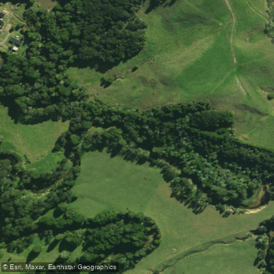
Waitangi River
- Boat Ramps
- 0
- Access Points
- 0
- Campsites
- 3
The Waitangi River flows through the Bay of Islands region of Northland, New Zealand, running from the interior down through a mangrove-lined estuary before meeting the sea near the Waitangi Treaty Grounds. The river is best known as a paddling route connecting the estuary to Haruru Falls, a distinctive horseshoe-shaped waterfall upstream. The one-way distance from the estuary to the falls is approximately 3–4 km, making for a 6–8 km return paddle by the most direct route, though paddlers who explore the various side bays and mangrove channels can extend this considerably into a half-day outing.
A convenient launch point is the boat ramp near the Waitangi Treaty Grounds. Tidal influence is a significant factor on this route: launching within two hours either side of high tide works well for reaching the falls and returning comfortably. Paddlers should plan their timing accordingly, as the tidal estuary character of the lower river means water levels and current direction will vary.
The river passes through extensive mangrove forest, which lines much of the route and provides habitat for native wildlife including, reportedly, royal spoonbills. The combination of low-hanging mangroves, tidal channels, and the horseshoe waterfall at the upstream end gives the route a distinctive character. The paddling itself is generally calm and suitable for beginners; no prior kayaking experience is required according to guided tour operators who run trips on this water.
The Waitangi River also carries significant cultural weight. The area around the Waitangi Treaty Grounds is one of the most historically important sites in New Zealand, and traditional Māori waka (canoe) experiences are offered on the river's estuaries, reflecting the deep connection between the Māori people and this waterway.
Guided tours depart from Waitangi Beach and typically run around three hours. All gear is provided on guided trips, and participants are advised to bring comfortable flat-soled shoes, weather-appropriate clothing, a hat, sunscreen, and water. The minimum age for guided commercial tours is 10 years, with a maximum weight limit of 129 kg (285 lbs) on at least one operator's tours.
Water access, boat ramps & amenities
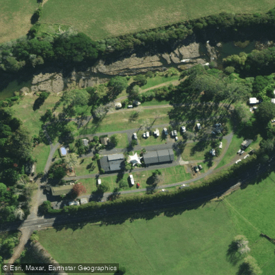
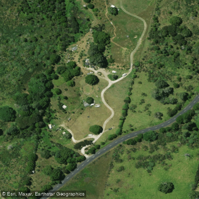
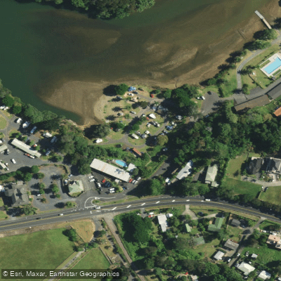
Learn how to get on Waitangi River. Uncover great paddling access points, boat ramps, and all the facilities you need for an unforgettable day on the water. Some locations shown may border or include private property. Always check property boundaries and applicable regulations before visiting. PaddleWays's Public & Private Land layer can help you plan your access with confidence.
Paddle smarter with real-time insights
Whether you're en route and conditions shift or you're looking for the best spot based on current flows, we enable you to make informed decisions on the fly.







Northland licenses and regulations
No licenses or regulations available for Northland.
Find Places to Paddle

Over 400,000 Places to Paddle
Every user gets free access to launch points, boat ramps, and public property parcels.


Water and weather conditions (10 day forecast)
See the best times to paddle Waitangi River and check the forecast before you go.
Waiaruhe at Puketona
All Flow Stations
Paddling near Waitangi River
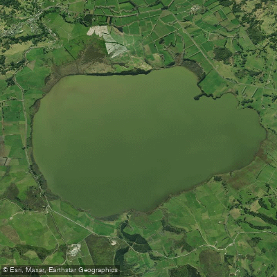
Lake Ōmāpere
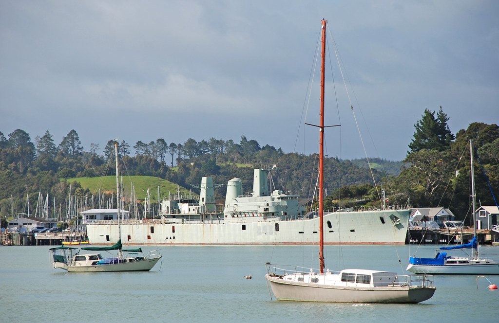
Bay of Islands
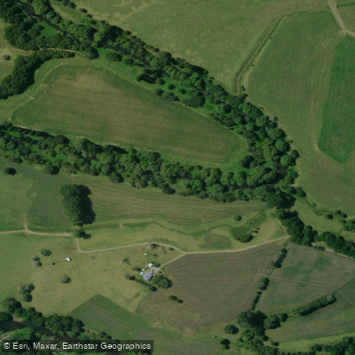
Mangakahia River
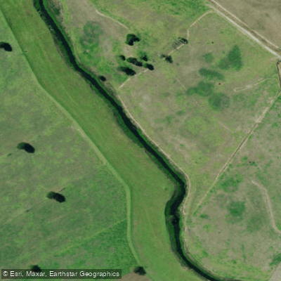
Kaihu River
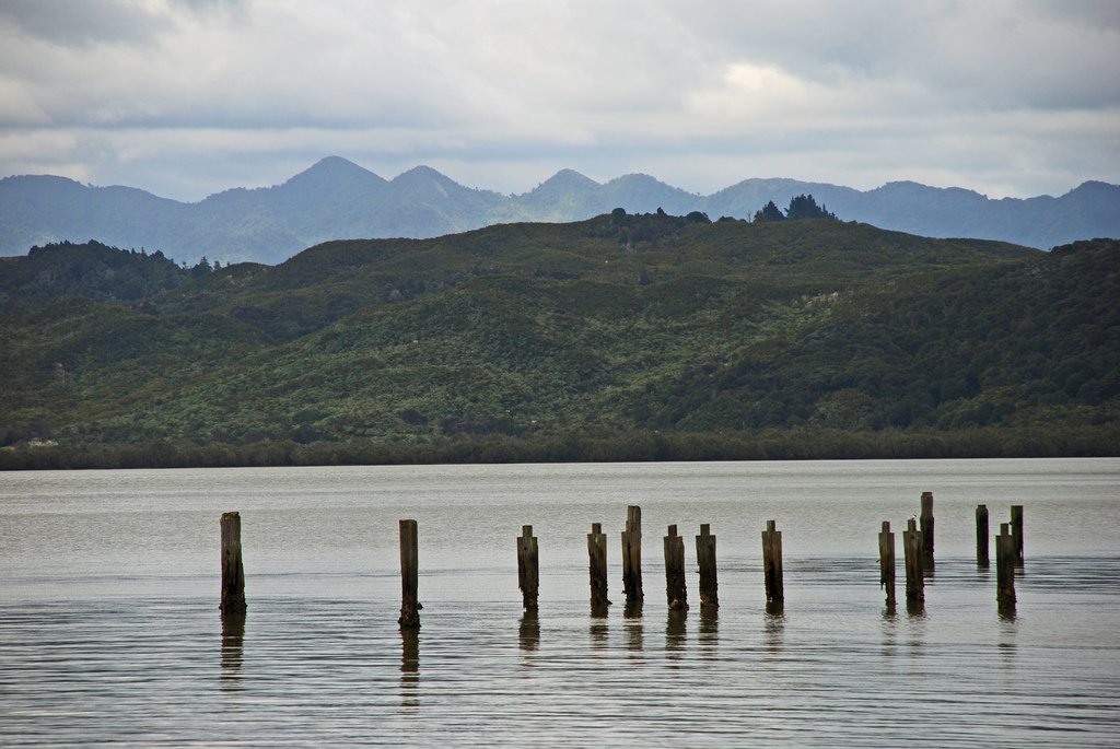
Hokianga Harbour
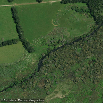
Punakitere River
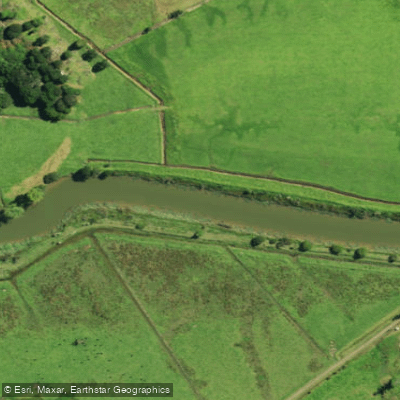
Waimā River
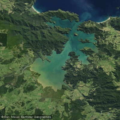
Whangaroa Harbour
Mangamuka River
Explore Northland waters
Top paddling waters
No waters available right now.
Popular Cities
Loading popular cities...
Explore near Waitangi River

Smarter Paddling Starts in the App.
Paddleways gives you everything you need to plan smarter, paddle better, and own every trip from first launch to takeout.